Download
1 / 36
360 likes | 368 Vues
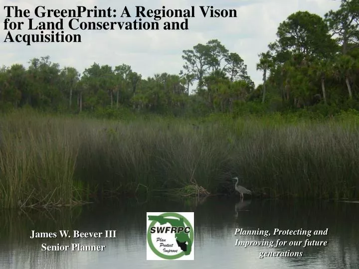
The GreenPrint: A Regional Vison for Land Conservation and Acquisition. Planning, Protecting and Improving for our future generations. James W. Beever III Senior Planner. Greenprinting is the creation of conservation scenarios that help communities make informed conservation decisions.

E N D
The GreenPrint: A Regional Vison for Land Conservation and Acquisition Planning, Protecting and Improving for our future generations James W. Beever III Senior Planner
Greenprinting is the creation of conservation scenarios that help communities make informed conservation decisions. Greenprinting can galvanize public support and encourage partners to work toward common conservation goals. Greenprinting often involves use of state-of- the-art maps and models created with Geographic Information System (GIS) software that combines layers of spatial and demographic information to guide growth management efforts.
Conservation Priorities A community defines its own criteria for the lands it wants to protect. Its highest priority lands are then mapped on a greenprint. Gap Analysis Mapping reveals which areas are most in need of parks and where land in those areas might be available to create parks. Watershed Protection By mapping stream buffer areas, slope profiles, soil types, and other data, greenprinting shows where land conservation can protect water quality. Fragmentation Modeling These models identify lands whose conservation would create contiguous natural resources such as forests, wetlands, and wildlife habitat. Trail Linkages Greenprinting finds opportunities to link or expand existing trail systems. Development Forecasting Models project which lands—including important conservation lands—are most likely to be developed for commercial or residential uses.
http://www.egmccc.org The East Gulf of Mexico Coastal Conservation Corridor Project (EGMCCC) enhances cooperative planning between public and private land acquisition entities and encourages planning for landscape scale conservation by providing access to a comprehensive geospatial database. The EGMCCC provides new opportunities for federal, state, and regional governments to work together with local governments and the public sector in exploring and developing innovative programs for the protection of fish and wildlife resources. The project serves as a reference tool designed to assist decision makers and planners in focusing land acquisition, regional planning, and regulatory recommendations taking both significant details as well as the landscape scale context into consideration. Inserting this information into decision making processes will help protect habitat, preserve biodiversity, and allow our resources to continue to survive, be enjoyed by residents, visitors, and future generations.
Primary Goal of EGMCCC Establish a multi-jurisdictionally governed partnership to identify, create, and manage a conservation corridor system composed of habitats ranging from xeric scrub to riverine wetlands by creating a comprehensive GIS database. Tippen Bay Ranch
The East Gulf of Mexico Coastal Conservation Corridor(EGMCCC) Project: • Planning for landscape scale conservation. • Enhancing cooperative planning between public and private land acquisition entities.
Products • A map series showing opportunities for landscape-scale connections. • An interactive conservation database served via an internet map site.
Uses • A reference tool for land acquisition, regulatory, and water management programs. • Resource for decision-makers to see significant details and the landscape-scale context. Myakka River
Principal Partners • US Fish & Wildlife Service - South Florida Ecological Services Office • Charlotte Harbor National Estuary Program • Florida Department of Environmental Protection • Florida Fish & Wildlife Conservation Commission • Southwest Florida Regional Planning Council • The Nature Conservancy - Florida Chapter Sandhill cranes
21 Counties & Cities • 4 Federal Agencies • 3 National Estuary Programs • 1 National Estuarine Research Reserve • 7 Non-Profit Conservation Groups • 3 Regional Planning Councils • 3 State Agencies • 3 Water Management Districts
Department of Environmental Protection City of North Port GIS Department FDEP – Bureau of Mine Reclamation City of Sarasota University of Florida - Geoplan Center Florida Natural Area Inventory Central Florida Regional Planning Council Florida Marine Research Institute Southwest Florida Regional Planning Council Florida Resources & Environmental Analysis Center Tampa Bay Regional Planning Council Florida Fish & Wildlife Conservation Commission Florida Coastal Management Program St. Johns River Water Management District Florida Department of Transportation South Florida Water Management District Florida Gulf Coast University Southwest Florida Water Management District Charlotte County GIS Department Rookery Bay National Estuarine Research Reserve Collier County Natural Resources Department Estero Bay Aquatic & State Buffer Preserve Collier County Property Appraiser Charlotte Harbor Aquatic & State Buffer Preserve Gilchrist County Property Appraiser Charlotte Harbor National Estuary Program Glades County Property Appraiser Sarasota Bay National Estuary Program Hendry County Property Appraiser Tampa Bay Estuary Program Highlands County Planning Department US Fish & Wildlife Service Hillsborough County Property Appraiser Multi-Species Ecosystem Recovery Implementation Team Lake County Growth Management Department NOAA Coastal Services Center Lee County Property Appraiser United States Geological Survey Lee County Planning Division USDA - Natural Resources Conservation Service Manatee County Property Appraiser USEPA National Wetlands Inventory Marion County Property Appraiser Monroe County Property Appraiser Friends of Rookery Bay Pasco County Property Appraiser Florida Chapter of The Nature Conservancy Polk County Property Appraiser Calossa Land Trust and Nature Preserve Polk County Environmental Services Sanibel-Captiva Conservation Foundation Sarasota County Natural Resources Department Sarasota County Property Appraiser 54 partners
Coordination with Other Projects in South Florida • Southwest Florida Regional Wildlife Habitat Plan • Southwest Florida Feasibility Study (SWFFS) • Comprehensive Everglades Restoration Plan (CERP) • South Florida Ecosystem Restoration • Multi-species Recovery Plan/ Multi-species Ecosystem Recovery Implementation Team estuarine marsh Manatees in spring Roseate Spoonbills
Team Leaders • Big Cypress – Bob Sobczak, BCNP- Big Cypress • Caloosahatchee - Lynda Thompson, Lee County • Charlotte Harbor - Lisa Beever, CHNEP • Estero/CREW - Heather Stafford, FDEP-Estero Bay • Green Swamp - Marian Ryan, Sierra Club • Myakka River/Sarasota Bay - Gary Raulerson, SBNEP • Peace River - Brian Sodt, CFRPC • Springs Coast/Withlacoochee - Mercily Toledo, FDEP • Tampa Bay - Suzanne Cooper, TBRPC & TBABM
Restoration Coordination Team 3/10/03
Year 2006 Coastal Conservation Corridor Map with Charlotte, Collier, Glades, Hendry and Lee Counties Key Light Green = Existing Conservation Areas All Entities Orange = Private Conservation Easements Turquoise= Protected Waters and Proposed Land Acquisitions (Florida Forever, SOR, etc.) Magenta = Strategic Habitat Conservation Areas (2003 layer) Red = Priority Acquisition/Protection Areas Source: SWFRPC March 4, 2008
A River Otter could eat his way along hundreds of miles of riverine and estuarine corridor…
Available Database Elements for possible use as Criteria by anyone • species occurrences • habitat areas • natural communities • landscapes/greenways • surface water • wetlands Florida Panther in Sarasota County
Panther Paths Grey area illustrates potential panther corridor.
A Florida black bear could walk from Charlotte Harbor to Lake Okeechobee to the Big Cypress National Preserve
Mary M. Bryant GIS Specialist mbryant@tnc.org James W. Beever III Senior Planner jbeever@swfrpc.org Dan Cobb GIS Specialist dcobb@swfrpc.org Lisa B. Beever, PhD NEP Director lbeever@swfrpc.org