Global History II
170 likes | 387 Vues
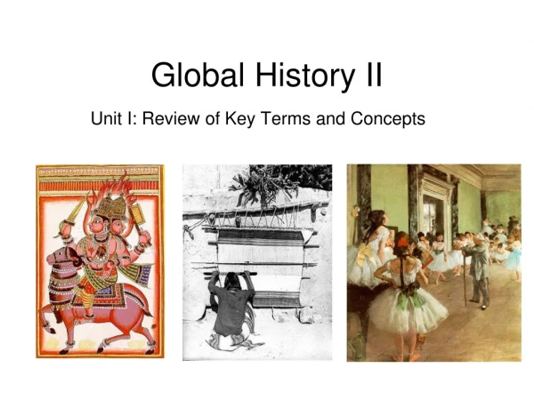
Global History II. Unit I: Review of Key Terms and Concepts. Culture. Is this Racism or Ethnocentrism?. Definition Refers to the way of life of a society that is handed down from one generation to the next by learning and experience. What is the difference?

Global History II
E N D
Presentation Transcript
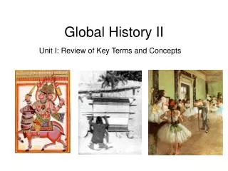
Global History II Unit I: Review of Key Terms and Concepts
Culture Is this Racism or Ethnocentrism? • Definition • Refers to the way of life of a society that is handed down from one generation to the next by learning and experience. • What is the difference? • Ethnocentrism: the belief in the inherent superiority of one’s own ethnic group or culture. • VS. • Racism: the belief that one racial group is superior to another. • Imperialism: domination by one country of the political, economic, or cultural life of another country or region. VS. • Mercantilism: policy by which a nation sought to export more than it imported in order to build its supply of gold and silver. Is this Imperialism or Mercantilism?
Politics • Definition • The science or art of government, using strategy or intrigue in obtaining power, control or status. • Anarchy: to abolish all government • Revolution: a complete and forcible overthrow and replacement of an established government by the people governed.
Politics cont… • Types of Government This map reflects the findings of Freedom House's survey Freedom in the World 2007, which reports the state of world freedom in 2006. It is one of the most widely used measures of democracy by researchers. Note that although these measures (another is the Polity data described below) are highly correlated, this does not imply interchangeability
5 Themes of Geography • Geography • Study of people, their environments and their resources. • Location – where a place is on the surface of the earth. • Latitude – distance north and south of the equator. • Longitude – distance east and west of the prime meridian. • Climate – the prevailing weather conditions of a region, as temperature, winds, humidity, precipitation… are measured and averaged over a series of years. Latitude Longitude
5 Themes of Geography 2. Place – Areas that are described in terms of their physical features. 3. Human-Environment Interaction – The process of humans shaping and being shaped by the places in which they lived. This is also known as adjusting to one’s surroundings. 4. Movement – The movement of people, goods and ideas is a key link between geography and history. a. Cultural Diffusion – The spread of ideas, customs and technologies from one people to another. 5. Region – Ways that the world can be divided, like physical, cultural, political or economic features. a. Topography – The detailed mapping or charting of the features of a relatively small area. Topographic Map
Geographical FeatureExplain its influence on the development of a region • Coastline (Regular) • A Regular Coastline is smooth with very few natural harbors. Africa is an example of a regular Coastline. Regular coastline make building ports and harbors very difficult. Without these, trade, sea travel, and cultural diffusion are near to impossible. But, this also prevents invasion from the sea. This feature of Africa kept invaders out of sub-Sahara Africa for a millennia.
Geographical FeatureExplain its influence on the development of a region • Delta - The end of a river is called its mouth, and with some rivers, such as the Nile, deposits of silt build up creating what is called a Delta. A river's delta area is very important to humans as the deposits of rich silt provide very fertile farmland. • Isthmus - An isthmus is a narrow stretch of land connecting two larger areas of land. Panama in Central America is an isthmus. The advantages and disadvantages are the same as living in any coastal region.
Geographical FeatureExplain its influence on the development of a region • Island - An Island is an area of land completely surrounded by water. Examples include Iceland, Great Britain, and Madagascar. Islands often lack many natural resources and are forced to trade with other nations. Most island nations develop good forms of sea travel, such as Great Britain and Japan. Throughout history islands have been used as stepping stones to cross the major oceans. • Archipelago - The Pacific Ocean is full of Archipelagos, which are chains of islands. Japan is a prime example of an archipelago. Most archipelagos have irregular coastlines which make them vulnerable to invasion, but also foster trade and cultural diffusion. The many archipelagos in the Pacific helped spread civilizations from the Asian mainland, and would much later help European explorers circumnavigate the globe.
Geographical FeatureExplain its influence on the development of a region • Mountains - Mountains are areas of land with steep sides that rise sharply from surrounding land. 20% of the Earth's surface is mountainous and they present both positive and negative aspects to human existence. In the positive, mountains often act as barriers to invasion. India, protected by the Himalaya Mountains, has enjoyed protection from invasion from other parts of Asia. However, the barrier effect can also have negative effects. Cultural diffusion is often hampered as trade and other peaceful contact cannot occur. • Mountains also usually lack arable farm land. This has often resulted in sparse human habitation. But, in China and Mesoamerica (Inca), terraces or steps, were cut into the mountain providing an area of flat land suitable for crops. This is known as terrace farming. • In Greece, the mountainous terrain prevented the development of a unified society. As a result, the Greeks formed city-states with a variety of government systems, including the first democracy. Another result of the mountainous terrain of Greece was the reliance on the sea as a source of food, and later trade.
Geographical FeatureExplain its influence on the development of a region • Peninsula - A peninsula is an area of land surrounded on three sides by water. Italy, Greece, and the southern part of India are all peninsulas. The advantages and disadvantages of living on a peninsula are the same as living in any coastal region. • Plain - areas of level land, generally at a low elevation. Examples include the Eurasian Plains and the Russian Steppes. Plains generally have fertile soil and are attractive to settlement as they are easy to reach, provide good road building, and have good farmland. The negative aspects of plains as a geographic feature are that they are hard to defend as they are easy to reach. Plains also provide no natural protection from the elements.
Geographical FeatureExplain its influence on the development of a region • Sea - a large body of salt water. The difference between an ocean and a sea is that a sea is smaller than an ocean, and is generally surrounded by land. An example of a sea would be the Red Sea which lies between Africa and Asia in the Middle East. • Seas have positive and negative effects on human civilization. They often act as a barrier to both cultural diffusion and invasion. However, many civilizations developed good sea travel and were able to overcome this effect. Great Britain, Portugal, Spain, Greece, the Roman Empire, the Netherlands, Early China, and Japan all were major naval powers at one time or another. In fact, for many of these civilizations, oceans and seas acted as highways of trade, cultural diffusion, and invasion. • Countries like Japan have a diet composed mainly of sea products and farmed vegetables. Great Britain, in the twentieth century, began drilling for undersea oil off the north shore of Scotland. Today, this valuable resource provides much of their energy needs.
Geographical FeatureExplain its influence on the development of a region • Desert - Deserts are areas of land with sparse vegetation, no arable farmland, and a very poor climate, usually hot and dry. Deserts often act as barriers to civilizations, as crossing a desert is often very difficult, if not impossible. The Sahara Desert in North Africa effectively cut the southern part of Africa off from the Mediterranean world for centuries. Also, through the process of desertification, the Sahara has been slowly claiming the arable land in Northern Africa. Modern technology, such as the building of the Aswan Dam, has attempted to halt this process, and has met with some success. The desert as a barrier also has positive effects. The Sahara protected Southern Africa from invaders from the north, while also providing a secure western flank to the Egyptians. It is not until World War II that serious warfare can occur across the desert. • The Gobi Desert in China has acted as a barrier to both invasion and cultural diffusion. China developed a very ethnocentric outlook due to their isolation. Contributing to this isolation are rainforest and mountains. The Gobi Desert has also forced most of China's people to live in the more fertile east, as no good farmland exists. Despite the negatives, the Gobi Desert is a fantastic resource of fossils. Many different species of dinosaurs have been identified from remains found in this desert, including an Oviraptor, sitting on a nest of fossilized eggs.
Geographical FeatureExplain its influence on the development of a region • Rivers & River Valleys - Rivers and river valleys have been very important in the development of civilization. • Over time, many rivers have carved out river valleys as they flow. Early civilizations formed in these river valleys because they provided a water source, good farmland, and a source of trade. Civilizations such as Egypt on the Nile, Mesopotamian cultures on the Tigris and Euphrates, Early China on the Huang/Yellow and the Yangtze Rivers, and Early Indian civilization on the Indus all benefited from the river's resources. Many early civilizations developed irrigation systems to further take advantage of the river. This adaptation allowed these civilizations to grow and flourish. • In modern times, other technologies have been developed to also make use of the river. The Aswan High Dam on the Nile provides Egypt with a hydroelectric power source that is beneficial to the country. It also has allowed the Egyptians to reclaim many acres of land lost to desertification. Careful management of this resources has created more arable farmland, and provided a source of life to the people in the region.
Geographical FeatureExplain its influence on the development of a region • Steppe - a plain without trees (apart from those near rivers and lakes); it is similar to a prairie, although a prairie is generally considered as being dominated by tall grasses, while short grasses are said to be normal in the steppe. It may be semi-desert, or covered with grass or shrubs or both, depending on the season and latitude. The term is also used to denote the climate encountered in regions too dry to support a forest, but not dry enough to be a desert. • Strait - a narrow stretch of water connecting two larger bodies of water. Examples would be the Strait of Gibraltar connecting the Atlantic Ocean to the Mediterranean Sea, and the Strait of Magellan, which is at the tip of South America, connecting the Atlantic Ocean and the Pacific Ocean. Straits are strategically important due to the control of trade or control of military access to a specific area. Controlling the Strait of Gibraltar means controlling access in and out of the entire Mediterranean Sea until the building of the Suez Canal on the Red Sea.
Economic Systems • What are they, what do they do? • Economic systems include traditional, market, command, and mixedeconomies. All of these systems attempt to answer the same questions. What should be produced? How much? How should goods be produced? And, for whom? • A Traditional economic system relies on farming and very simple barter trading. Examples include Neolithic farming villages and the first river civilizations. • Two Major Types of Economic Systems