Download
1 / 12
120 likes | 270 Vues
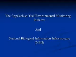
The Appalachian Trail Environmental Monitoring Initiative And National Biological Information Infrastructure (NBII). Appalachian Trail Environmental Monitoring. 2175 miles long 280,000 acres 1000 feet wide 14 States 5 Federal Agencies 70 + State and Municipal Properties

E N D
The Appalachian Trail Environmental Monitoring Initiative And National Biological Information Infrastructure (NBII)
Appalachian Trail Environmental Monitoring • 2175 miles long • 280,000 acres • 1000 feet wide • 14 States • 5 Federal Agencies • 70 + State and Municipal Properties • 30 Trail maintenance clubs
NBII The National Biological Information Infrastructure (NBII) is a broad, collaborative program to provide increased access to data and information on the nation's biological resources.
Similar to MS SharePoint • Administered by USGS • Available, free of charge, to any biologically focused organization • May be a viable solution for inter-network and network-cooperator collaboration