Download
1 / 37
370 likes | 675 Vues
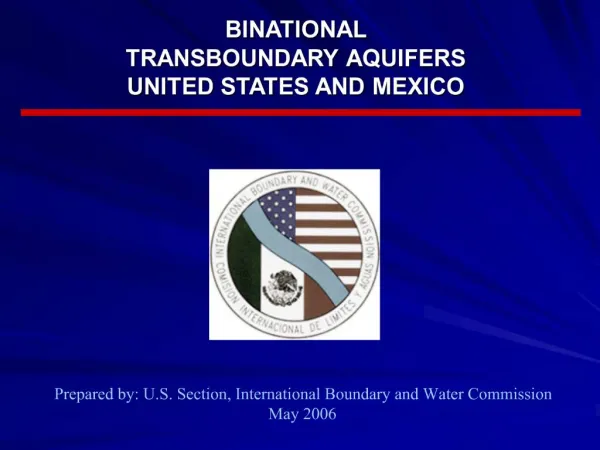
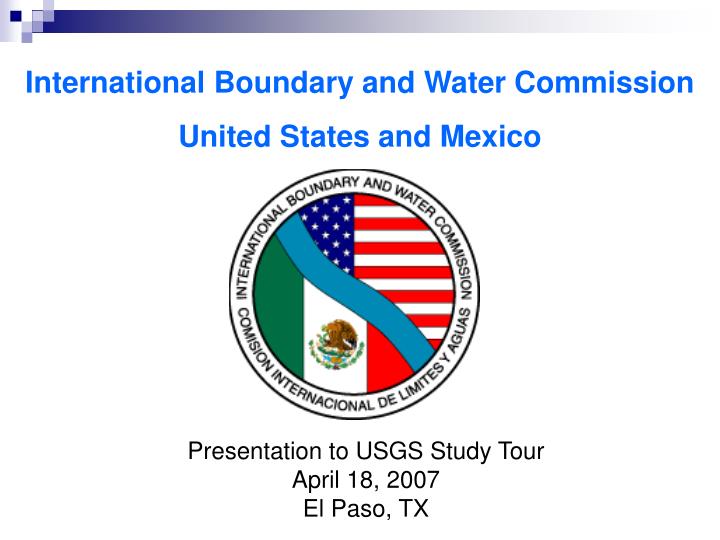
International Boundary and Water Commission United States and Mexico. Presentation to USGS Study Tour April 18, 2007 El Paso, TX. CHARACTERISTICS OF THE U.S.-MEXICO BORDER. Land Boundary – 674 miles Colorado River – 24 miles Rio Grande – 1,254 miles Over 12 million residents.

E N D
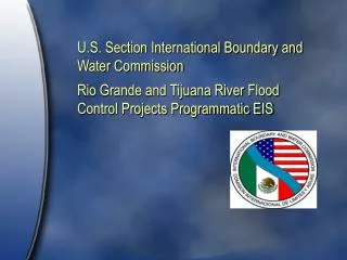
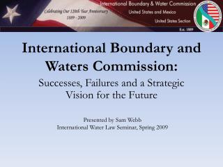
International Boundary and Water Commission United States and Mexico Presentation to USGS Study Tour April 18, 2007 El Paso, TX
CHARACTERISTICS OF THE U.S.-MEXICO BORDER • Land Boundary – 674 miles • Colorado River – 24 miles • Rio Grande – 1,254 miles • Over 12 million residents
Tijuana River Basin INTERNATIONAL RIVER BASINS Colorado River Basin Rio Grande Basin PacificOcean Gulf of Mexico
MISSION OF THE COMMISSION The International Boundary and Water Commission is responsible for applying the boundary and water treaties between the United States and Mexico and settling differences that arise in their application.
INTERNATIONAL BOUNDARY AND WATER COMMISSION (IBWC) • US • SECTION • US Commissioner • Secretary • Two Principal Engineers • Legal Adviser • MEXICAN • SECTION • Mexican Commissioner • Secretary • Two Principal Engineers • Legal Adviser STRUCTURE PER 1944 TREATY
IBWC STRUCTURE • Each Commissioner is appointed by his respective president • When the two Sections meet as a Commission, they have the status of an International Organization • Each Section employs its own staff • IBWC staff operate projects, including joint operation of dams
IBWC STRUCTURE • Decisions of the Commission shall be recorded in the form of Minutes • Minutes are subject to approval by the Governments (State, SRE) and are binding • 131 Minutes entered into since treaty ratification
IBWC STRUCTURE • Joint Reports or Joint Memoranda of the Principal Engineers include technical recommendations to the Commissioners • Commissioners, Principal Engineers, Secretaries, and Legal Advisers are diplomatic officers • Significant day-to-day contact between the two Sections
CONVENTION OF 1906 • Distribution between Mexico and the U.S. of the waters of the Rio Grande in the El Paso-Juarez region • U.S. to deliver 60,000 acre-feet per year • Proportional reduction in deliveries in case of extraordinary drought • Water stored in Elephant Butte Dam, NM
OTHER BOUNDARY TREATIES • Convention of 1933/Rio Grande Rectification Project – Stabilize the international boundary in the El Paso-Juarez Valley • Chamizal Convention (1963) – Relocate the Rio Grande in a new channel in El Paso-Juarez
RIO GRANDE RECTIFICATION PROJECT IN THE EL PASO-JUAREZ VALLEY RIVER BED AND RECTIFIED CHANNEL
OTHER BOUNDARY TREATIES • Treaty of 1970 – Maintain the Rio Grande and Colorado River as the international boundary • Boundary is middle of the channel of greatest average width • Structures crossing the rivers may not deflect or obstruct river flows
1944 WATER TREATY • Established current structure of the Commission. • Expanded Commission role in boundary water issues. • Provided general authority to conduct studies and investigations, construct dams, address sanitation problems.
1944 WATER TREATYColorado River • U.S. to deliver to Mexico a volume of 1.5 million acre-feet per year • When there are surplus waters, U.S. to deliver to Mexico a total volume of up to 1.7 million acre-feet per year
1944 WATER TREATY(Rio Grande,Ft. Quitman to the Gulf) • Mexico to deliver minimum annual average of 350,000 acre-feet to the United States • Water delivered to the Rio Grande from six Mexican tributaries • U.S. receives 1/3 of the flow arriving in the Rio Grande from the six Mexican tributaries • Each county allotted 50% of flows from the unmeasured tributaries
UPPER RIO GRANDE PROJECTS • Canalization Project – USIBWC water delivery and flood control project located in Southern New Mexico and West Texas • American Dam – Diverts Rio Grande water into U.S. irrigation canal at El Paso • International Dam – Diverts Rio Grande water into Mexican irrigation canal/Acequia Madre at Cd. Juarez Canalization Project, El Paso
UPPER RIO GRANDE PROJECTS • Rectification Project – Stabilizes the boundary and provides flood control in the El Paso-Juarez Valley • Chamizal Project – Stabilizes the international boundary thru El Paso-Cd. Juarez by means of a concrete channel Chamizal Project maintenance
RIO GRANDE INTERNATIONAL STORAGE RESERVOIRS • Amistad Dam • Total Capacity, including flood storage – 6025 million cubic meters • Falcon Dam • Total Capacity, including flood storage - 3897 million cubic meters • Both generate hydroelectric power
WATER ACCOUNTING • More than 50 gaging stations in the Rio Grande basin in the United States and Mexico • 11 gaging stations on the Colorado River • Data reviewed weekly by the U.S. and Mexican Sections • Determination of the national ownership of waters of the Rio Grande • Publication of flow data, rainfall, reservoir storage, evaporation, and water quality data in annual water bulletins
WATER ACCOUNTING Telemetry system at North Floodway, Lower Rio Grande Rio Grande gaging station at Presidio-Ojinaga
LOWER RIO GRANDEFLOOD CONTROL PROJECT • 340 miles of levee • Anzalduas Diversion Dam • Retamal Diversion Dam • Floodways • Flood protection for hundreds of thousands of people in the U.S. and Mexico
Anzalduas Diversion Dam 1966 Flood at Brownsville-Matamoros
INTERNATIONAL WASTEWATER TREATMENT PLANTS • San Diego, California • Treats wastewater from Tijuana, BC • Nogales, AZ • Treats wastewater from both countries • Nuevo Laredo, Tamaulipas • Treats wastewater from Nuevo Laredo, Tamps.
WATER QUALITY MONITORING • 3 Rio Grande binational toxic substances studies • Binational toxic substances study of the New and Colorado Rivers • Texas Clean Rivers Program for the Rio Grande
GROUNDWATER • General authority to conduct groundwater studies granted by Congress in 1935 • General authority under Article 24 of the 1944 Water Treaty
GROUNDWATER • Minute 242 (1973) • To address salinity of Colorado River deliveries to Mexico • Pending the conclusion of a comprehensive agreement on groundwater in the border areas, each country shall limit pumping of groundwaters within its territory within 8 km of the Arizona-Sonora boundary • Consultation prior to undertaking substantial modification or new development of surface or ground water resources that might adversely affect the other country
GROUNDWATER • Hueco Bolson – El Paso-Juarez Aquifer • Binational Technical Group established • Report published in 1998 • Binational Ground-Water Data Base validated by both governments • Upper Santa Cruz River Transboundary Aquifer (AZ-Son.) • Data exchanged (1997-1998) • Nogales Wash water quality • Binational Nogales Wash United States / Mexico Groundwater Monitoring Program – Final Report (2001)
GROUNDWATER • Mexican Management • Mostly centralized in the National Water Commission, a federal agency • U.S. Management • State responsibility • Decentralized in the four U.S. border states
TRANSBOUNDARY AQUIFER ASSESSMENT BILL • Passed by U.S. Congress in 2006 (Public Law 109-448) • Purpose is to characterize, map, and model groundwater resources in U.S.-Mexico border region • Activities to encompass field studies, development of GIS database, flow models, data exchange • Identifies priority aquifers for assessment based on technical and political criteria
TRANSBOUNDARY AQUIFER ASSESSMENT BILL • Lead federal agency is U.S. Geological Survey • Requires consultation with U.S. border states and authorizes grants to state water resource research institutes • Authorizes $50 million over ten years, including some funding to Mexico
International Boundary and Water Commission United States and Mexico U.S. Section www.ibwc.state.gov (915) 832-4100