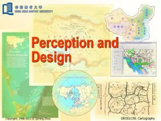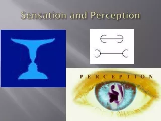
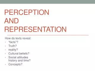
Perception and representation
This text examines how different map projections, specifically Mercator and Peters, reveal underlying cultural beliefs and social attitudes toward representation of the world. The Mercator Projection, created by Gerardus Mercator in 1569, has long been criticized for its Eurocentric view. In contrast, the Peters Projection, introduced in 1885 and popularized by Arno Peters in 1973, offers a different perspective that emphasizes land area accuracy. This exploration highlights how maps are not just geographical tools but also cultural artifacts that shape our understanding of truth and reality.

Perception and representation
E N D
Presentation Transcript
Perceptionandrepresentation How do texts reveal: “facts”? Truth? reality? Cultural beliefs? Social attitudeshistory and time? Concepts?
Mercator Projection Map of the World – 1569 By Flemish cartographer Gerardus Mercator
Peters Projection of the Map of the World – the first version was published in 1885 (by a Scottish cartographer named James Gall). It was not “used” until 1973!
The Peters Projection was the name given to the map in 1973 – by German Arno Peters (a historian and film-maker).