OpenClimateGIS: A Python Library for Geospatial Manipulations of Climate Datasets
190 likes | 223 Vues
OpenClimateGIS is a Python library enabling dynamic access to climate data, overcoming usability barriers for adaptation planning and resource management. It offers subsetting, structured computation, and data format conversion capabilities. Built on open-source libraries, it provides comprehensive metadata for big, high-resolution climate data files.

OpenClimateGIS: A Python Library for Geospatial Manipulations of Climate Datasets
E N D
Presentation Transcript
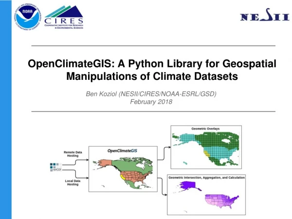
OpenClimateGIS: A Python Library for Geospatial Manipulations of Climate Datasets Ben Koziol (NESII/CIRES/NOAA-ESRL/GSD) February 2018
NESII Group Overview • NESII → NOAA Environmental Software Infrastructure & Interoperability Group • NESII builds software infrastructure for Earth system modeling, data analysis, and scientific collaboration using open source, community development approaches • NESII has been at ESRL / CIRES since November, 2009 - formerly the Earth System Modeling Infrastructure section at the National Center for Atmospheric Research • Joined Global Systems Divisions at ESRL in 2016 • Partners and customers are from research and operational centers, weather and climate, across U.S. agencies and international organizations
Presentation Outline • Overview • Subsetting • Structured Computation • Data Format Conversion • Next Steps • Notebook Demo
What is OpenClimateGIS? • OpenClimateGIS (OCGIS) is a pure Python, open source software library enabling dynamic access to and manipulation of climate data • Software goal is to overcome barriers of usability of climate projections in adaptation planning and resource management • Translate out of climate data formats • Select geographical regions of interest • Select times/levels of interest • Compute application-relevant indices • Convert to end-user and analysis-ready formats • Provide comprehensive metadata • Enable access to big, high-resolution climate data files • Builds on numerous open source software libraries:
Software Architecture • Written in pure Python • Modular/extensible design for data interface, format conversion, and computations • Operations manipulate coordinate variables to limit the amount of “value data” requested • Built with generator functions at the operations API • With few exceptions, all operations parallelized with MPI
Subsetting • Handles many types of geospatial subsetting: • Points • Arbitrary Polygons • Lines • Bounding Boxes • Multi-geometries • Reads geometries directly from OGC and ESRI formats (anything that supports Python) • Temporal subsetting - time ranges or “regions” (i.e. arbitrary month and year combinations) • Level subsetting - lower and upper bounds • Label-based slicing • Reads and writes CF and PROJ.4 coordinate systems • Wrapping and unwrapping for 360 geographic coordinate systems
Structured Computation • Framework designed to accommodate a variety of climate indices and metrics: • Temporally grouped functions → monthly means, annual maximums, seasonal aggregations • String-based functions → ‘diff=tasmax-tasmin’ • Simple transforms → natural logarithm • Multivariate functions → heat indices • Provide a “straightforward” and “painless” method for introducing new indices • Integrated ICCLIM ECA indices
Data Format Conversion • A general framework for data conversion for streaming to multiple formats • Sequential parallel writes implemented for all formats. • Asynchronous writes available for NetCDF provided its built with parallel support • Common set of headers for tabular output files that may be adjusted to suit a user’s needs (i.e. a user may only be interested in a timestamp and associated data value) • Uses Fiona to write to GIS vector formats • Currently supported formats: CSV, Keyed-CSV Shapefile, GeoJSON, netCDF (with and without geometries!), ESRI Shapefile, array-based collections • NetCDF Metadata Interpretation → CF-Grid, UGRID, SCRIP
Some Recent OCGIS Developments • National Hydrography Dataset Conservative Regridding • Motivation: Develop and profile a high performance regridding solution for complex, irregular meshes and fine resolution rectangular grids over large scales. • Chunked Regridding • Motivation: Develop software infrastructure for grid manipulations that scale to high spatial resolutions and accuracies while accommodating arbitrary compute environments and grid structures.
Next Steps • 2.1.0 (March 2018) • UGRID/SCRIP/ESMF Unstructured Format • Asynchronous NetCDF IO (adds write capability) • Chunked regrid weight generation for big grids • Memory and performance improvements • 2.2.0 (...future...) • Memory tiling for computations • Redistribution • Parallel regridding w/ ESMF mesh support • CF-Discrete Sampling Geometries • ?
Contacts & Links • Questions, comments, suggestions, or “hidden features”: • ocgis_support@list.woc.noaa.gov or https://github.com/NCPP/ocgis/issues • Mailing lists and releases: • ocgis_info@list.woc.noaa.gov • Software links: • http://www.earthsystemcog.org/projects/openclimategis/ • http://www.earthsystemcog.org/projects/esmpy/ • http://www.esrl.noaa.gov/nesii/
Status • Current Release: 2.0.0 (2.1.0 planned in coming months) • Project is fully open source under the University of Illinios-NCSA License (http://opensource.org/licenses/NCSA) • Hosted on GitHub: https://github.com/NCPP/ocgis • Mature test harness (1000+ unit tests)
Quick Subset Code Example import ocgis ops = ocgis.OcgOperations(dataset={‘uri’=’/data/tas_kelvin.nc’}, time_region={‘month’: [6, 7, 8]}, geom=[-121, 38, -122, 40], conform_units_to=’celsius’, output_format=’nc’) path = ops.execute()
ESMPy Overview • Python interface to the high performance, parallel regridding functionality of ESMF - Uses NumPy for data array management • Supported coordinate representations: • Grid: 2D/3D, logically rectangular, regional/global, stagger options • Mesh: 2D/3D unstructured • LocStream: 2D/3D unconnected points (point cloud) • Source data is represented with Field, built on a Grid, Mesh or LocStream • Regridding uses two Fields (source and destination) • Methods include first order conservative, bilinear, nearest neighbor, and more • Data may be read directly from file. Formats include Gridspec, UGRID, and SCRIP • Other notable features include masking, ignoring unmapped points, options for line paths between points, and a variety of pole handling capabilities
ESMPy Integration • OCGIS has been integrated with ESMPy to support bilinear and first order conservative regridding between structured grids • Regridding is part of the operations “ecosystem” and may be chained with subsetting, etc. • Current development is adding support for meshes and location streams in addition to grids • Use mesh regridding in place of the nonoptimal spatial averaging algorithms inside OCGIS • Use location stream for unstructured/observational regridding sources and targets • With the release of ESMPy 7.0, ESMPy fields will be interoperable with OCGIS fields - proof-of-concept code in feature branch
Extensibility Example Calculation Subclassing Example NetCDF Data Reading
Dataset Bundling • Bundles or packages are groups of data over which to apply a common set of operations → idea is to extend ensembles • OCGIS consolidates coordinate systems for the datasets and subset geometry(s) and applies selected operations to each in sequence • The example data displayed below is from a CSV output from three datasets: • CMIP5 Decadal Simulation (3 degrees, 360 lat/lon) • NARCCAP CRCM-CGCM3 (50 km, Polar Stereographic) • Maurer Gridded Observational (⅛ degrees, 180 lat/lon) • Example description: • Pull out all January dates • Spatially subset and area-weight the values for grid cells intersecting the Nebraska state boundary • Calculate the monthly mean and standard deviation • Write data to CSV
Core Capabilities of OpenClimateGIS • Read local or remotely served (i.e. OPeNDAP) ~CF-compliant netCDF datasets • Geospatial subsetting by arbitrary vector geometries (e.g. watersheds) and time/level bounds • Common spatial operations such as intersects, clip, and aggregation on point or polygon (e.g. bounded coordinates) data representations • Geometry wrapping and unwrapping to maintain a “GIS-friendly” -180 to 180 longitudinal spatial domain • Support for geographic (e.g. latitude/longitude) and projected climate datasets (e.g. Lambert Conformal) • Option to apply temporally-grouped computations to data subsets • Write climate data to GIS and tabular formats


