Download
1 / 1
20 likes | 312 Vues
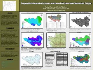
Geographic Information Systems: Overview of the Sixes River Watershed, Oregon. INSERT YOUR ORGANIZATION’S LOGO HERE. Kailey Clarno and Taylor Albertson Earth Science 341: Fundamentals of GIS Western Oregon University. LOCATION. DIGITAL ORTHOPHOTO QUADRANGLES. ANNUAL PRECIPITATION.

E N D
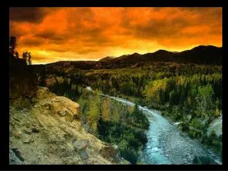
Geographic Information Systems: Overview of the Sixes River Watershed, Oregon INSERT YOUR ORGANIZATION’S LOGO HERE Kailey Clarno and Taylor Albertson Earth Science 341: Fundamentals of GIS Western Oregon University LOCATION DIGITAL ORTHOPHOTO QUADRANGLES ANNUAL PRECIPITATION SOIL DESCRIPTION The Sixes River Watershed is located in southwestern Oregon within Curry and Coos counties. Its western boundary lies along the Pacific Ocean, and is the point where the Sixes River runs into. Due to its close proximity to the ocean, the Sixes River Watershed is located in the temperate rainforest of the Pacific Northwest. PHYSIOGRAPHY Figure 2: Soils found within the watershed. There are obvious differences in soil type between the northern and southern areas of the watershed. Figure 1: Annual precipitation (inches). Most precipitation occurred in the mid-southern region of the watershed. Figure 3: A mosaic of DOQ quads was created and clipped to the watershed boundary. Since the Sixes River Watershed can receive upwards of 160 inches of rain during any given year, the range of plant species within its boundary is very diverse. Coniferous forests composed of Douglas Firs, Port Orford Cedars, Tanoak, and Madrone cover most of the landscape. Elevations range from sea level to slightly over 1,000 meters. The southern and northern regions of the watershed feature the mountain ranges which are divided by the Sixes River running through the middle. . DIGITAL ELEVATION MODEL DIGITAL RASTER GRAPHIC QUADRANTS GEOLOGY GENERAL GEOLOGY Figure 5: A mosaic of 7.5 minute DRGs labeled with the names of each quad. Figure 6: Shows the bedrock types within the watershed. Like the soils, there are obvious differences between the northern and southern regions of the watershed. Figure 4: A mosaic of the DEMs was created and clipped to the watershed boundary. Streams converge in lower regions and empty into the Pacific Ocean. Within the Sixes River Watershed, the predominant bedrock types are sandstone and mudstone. The northern and southern regions appear to be divided by the Sixes River. STREAMS VEGETATION WATERSHED ANALYSIS REFERENCES Chart 1: (Above) Using the Spatial Analyst toolbar in ArcMap, data analyses of the elevation within the Sixes Watershed were calculated. Chart 2: (Right) Using ArcMap, measurements of the Sixes Watershed were taken. • http://spatialdata.oregonexplorer.info/GPT9/catalog/main/home.page • Wetlands, DOQs • http://libweb.uoregon.edu/map/map_section/search.html • DRGs, DEMs • http://www.blm.gov/or/gis/data.php • Roads • http://soildatamart.nrcs.usda.gov/ • Soil • http://www.oregon.gov/DAS/EISPD/GEO/alphalist.shtml#R • Vegetation • http://prism.oregonstate.edu/ • Precipitation Figure 8: Vegetation types within the watershed. There are obvious differences in the types of vegetation found on the northern and southern portions of the watershed. Figure 7: Streams within the watershed. The major river running through the watershed includes the Sixes River and all of its tributaries.