Download
1 / 15
150 likes | 494 Vues
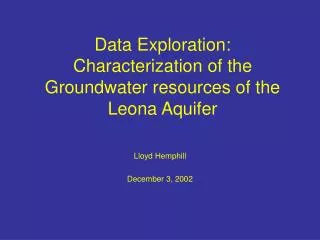
Data Exploration: Characterization of the Groundwater resources of the Leona Aquifer . Lloyd Hemphill December 3, 2002. Introduction. Why should shallow alluvial aquifers be studied?. Convenient source of groundwater. . Abundant worldwide. Recharge areas for deeper aquifers.

E N D
Data Exploration:Characterization of the Groundwater resources of the Leona Aquifer Lloyd Hemphill December 3, 2002
Introduction • Why should shallow alluvial aquifers be studied? • Convenient source of groundwater.. • Abundant worldwide. • Recharge areas for deeperaquifers. • Easily contaminated. • The Pleistocene age Leona Formation is a prime example.
Goals Use GIS to: • Gather data in a useable format. • Assess extent of existing data in space and time. • Create a map to aid in locating wells. • Examine the spatial changes in water quality in the Leona Aquifer. • Compare water quality in the Leona Aquifer to surrounding aquifers.
National Elevation Dataset DEM for San Marcos Basin. USGS HUC for San Marcos Basin. River reach data. TX-DOT .DGN of Highways for Caldwell Co. TWDB well data: Well locations, water levels, and water quality. Data Included in Geodatabase
Topography of the Leona Formation • Inverted topography. • Northwest to Southeast slope: 0.002 or 0.12 degrees. • Very Flat!
Nitrate in the Leona Aquifer (1946) • MCLis 44.27 mg/l as Nitrate • Note the Nitrate hotspot near Lockhart
Nitrate in Wilcox Group Wells (1946) • Note the Nitrate hotspot near Lockhart.
Chloride in the Leona Aquifer (1946) • Secondary MCLis 250 mg/l.
Water Table Elevation in the Leona Aquifer (1964) • Hydraulic gradient is very small: 0.0027 (0.15 degrees). • Groundwater flowis to the southwest and toward the margins of the formation.
Future Work • Add digital geologic map to geodatabase. • Compare water level change and precipitation data. • Examine land use to determine possible sources of NO3 and Cl.