Download
1 / 36
390 likes | 475 Vues
Discover the evolution of GeoServer: from its origins to present functionalities and future developments. Explore GeoServer's support for vector and raster data, open standards like WFS, WMS, WCS, and its role as a gateway to the GeoWeb. Reflect on milestones such as bug fixes, commits, releases, and community growth. Learn about new features like the UI enhancements, application schemas, KML support, RESTful configurations, ArcSDE improvements, database scalability, and upcoming advancements like multi-dimensional coverages, service profiles, and web processing services. Stay informed about GeoServer's continuous progress and contribution to the geospatial web server landscape.

E N D
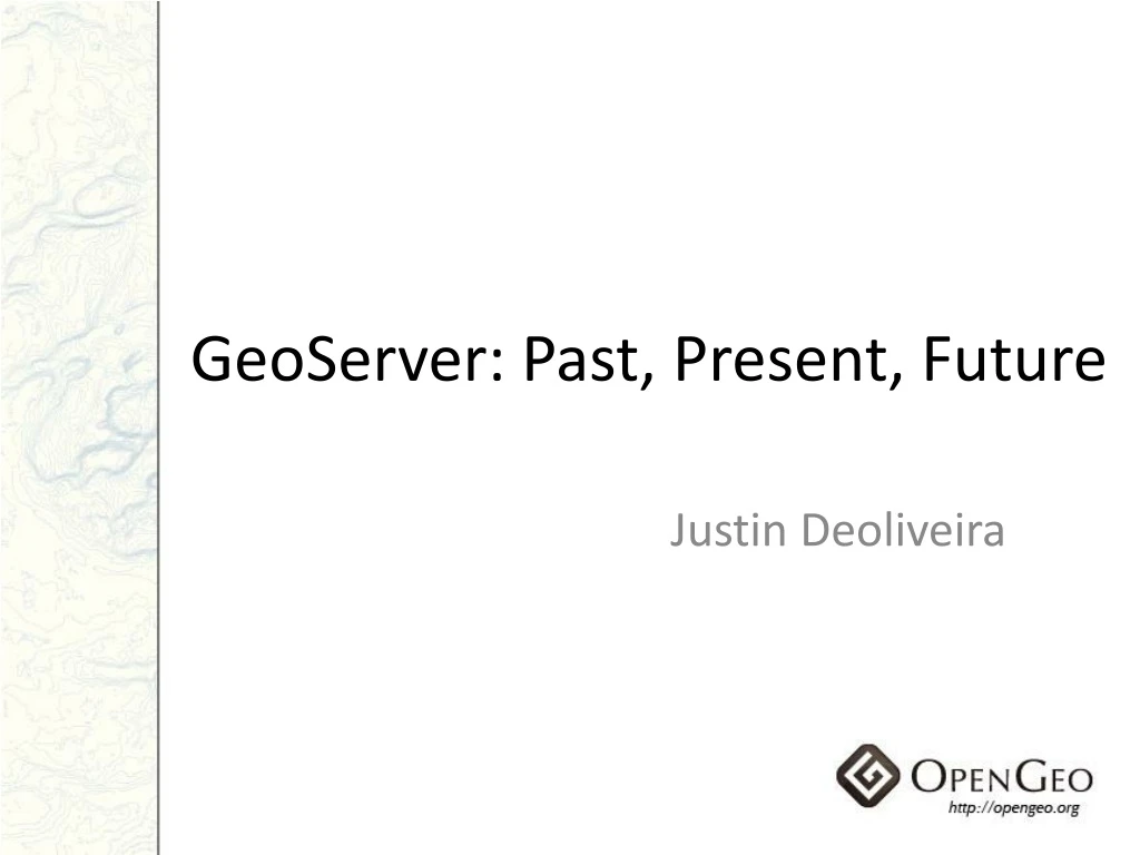
GeoServer: Past, Present, Future Justin Deoliveira
What is GeoServer? • Geospatial Web Server • vector and raster data • Open standards • WFS • WMS • WCS • Gateway to the “GeoWeb”
The Year in Review • 489 bug fixes • 1682 commits • 7 releases * Without October, November, December
GeoServer International • English – 987 members • Brazilian – 300 members • Chinese – 282 members • Italian – 54 members • Spanish – 53 members
New UI • Ajax • Submit-Apply-Save • Extensible
Security UI • Users and roles • Data security • Service security
Application Schemas • Complex feature schemas • Feature chaining
KML • Super Overlays • Geo Search • Extrudes • Partial 3D
Rendering • Labels • curved labeling • repetition • wrapping • displacement • Dynamic symbolizers • hatched fills • dynamic glyphs • Resource limits
REST • RESTful configuration • Styler
ArcSDE Raster • Arbitrary number of bands and pixel depth • Color maps • Raster catalogs
ArcSDE Miscellaneous • Scalability with sessions • Multi-version tables • Geometryless • JNDI
Raster Improvements • GDAL support • more formats • robust bindings • Mosaics • automated index creation • transparency • Coverage rendering
Databases • “NG” architecture • security • performance • Improved PostGIS and Oracle • SQL Server • JNDI connections
Extensions • Tiles and pyramids in the database • Vector pyramids • Charts • HTML image maps
On the Horizon • Database configuration storage • Multi-dimensional coverages • Service profiles • Web Processing Service • Scripting
Thanks!http://geoserver.org Questions?