Download
1 / 36
360 likes | 394 Vues
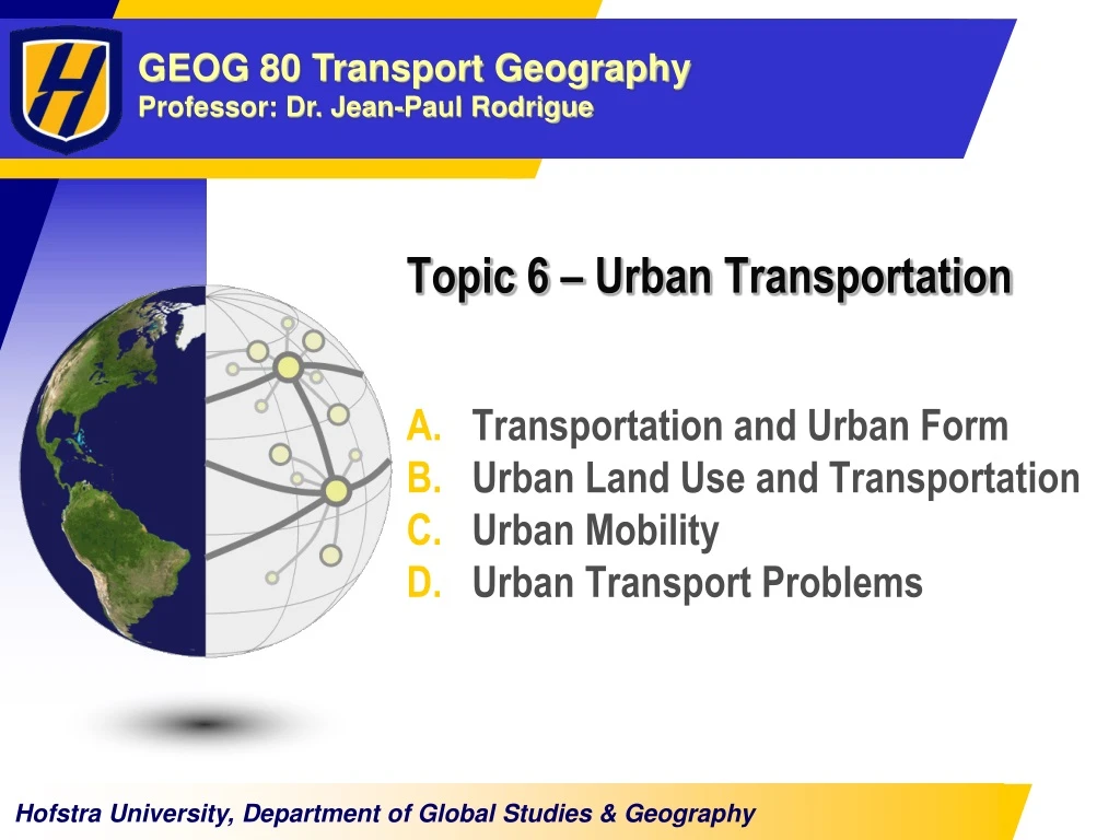
Topic 6 – Urban Transportation. Transportation and Urban Form Urban Land Use and Transportation Urban Mobility Urban Transport Problems. A – Transportation and Urban Form. 1. Global Urbanization 2. The Urban Form 3. Evolution of Transportation and Urban Form

E N D
Topic 6 – Urban Transportation Transportation and Urban Form Urban Land Use and Transportation Urban Mobility Urban Transport Problems
A – Transportation and Urban Form 1. Global Urbanization 2. The Urban Form 3. Evolution of Transportation and Urban Form 4. Transportation and the Urban Structure
1. Global Urbanization • Urbanization • Dominant trend of economic and social change. • Especially in the developing world. • Growing size of cities. • Increasing proportion of the urbanized population: • More than doubled since 1950. • 3.16 billion in 2005, about 49% of the global population. • 50 million urbanites each year, roughly a million a week. • By 2050, 6.2 billion people, about two thirds of humanity, will be urban residents. • Due to demographic growth and rural to urban migration. • Urban mobility issues • Increased proportionally with urbanization.
World Urban Population, 1950-2005 with Projections to 2020 (in billions)
Nodes, Linkages and Urban Form Port District ManufacturingDistrict CBD Road / transit linkage Built area Maritime linkage Accessibility node Air linkage Rail linkage Economic node
2. The Urban Form • Collective Transportation (public transit) • Provide publicly accessible mobility over specific parts of a city. • Benefiting from economies of scale. • Tramways, buses, trains, subways and ferryboats. • Individual Transportation • Includes the car, walking, cycling and the motorcycle. • People walk to satisfy their basic mobility. • Freight Transportation • Cities are dominant production and consumption centers. • Activities are accompanied by large movements of freight. • Delivery trucks converging to industries, warehouses and retail activities. • Major terminals.
2. The Urban Form • Density issues • Modern cities: • Inherited an urban form created in the past. • Can be monocentric or polycentric (more common). • Movements are organized or disorganized. • European, Japanese and Chinese: • Tend to be monocentric. • Movements tend to be organized. • 30 to 60% of all trips by walking and cycling. • Australian and American cities: • Built recently and encourages automobile dependency. • Tend to be polycentric. • Movements tend to be disorganized.
Possible Urban Movement Patterns Organized Disorganized Polycentric Monocentric
3. Evolution of Transportation and Urban Form • Evolution of transportation • Led to a change in most urban forms. • New central areas expressing new urban activities (suburbs). • Central business district (CBD): • Once the primary destination of commuters and serviced by public transportation. • Challenged by changing manufacturing, retailing and management practices. • Emergence of sub-centers in the periphery. • Manufacturing: • Traditional manufacturing depended on centralized workplaces and transportation. • Technology has rendered modern industry more flexible.
One Hour Commuting According to Different Urban Transportation Modes Streetcar line Freeway Walking Streetcar 10 km Cycling Automobile Automobile with freeways
3. Evolution of Transportation and Urban Form • Contemporary changes • Dispersed urban land development patterns: • Abundant land, low transportation costs, tertiary industries. • Strong relationship between urban density and car use. • Faster growth rate of built areas than population growth. • Decentralization of activities: • Commuter journeys have remained relatively similar in duration. • Commuting tends to be longer and made by privately owned cars rather than by public transportation. • Most transit and road systems were developed to facilitate suburb-to-city, rather than suburb-to-suburb, commuting. • Suburban highways are often as congested as urban highways.
Evolution of the Spatial Structure of a City A B C Core activities Peripheral activities Major transport axis Central activities Central area
Transportation and the Constitution of Urban Landscapes A B C Centers CBD Walking Horsecar Railways E D Suburb Towns Roads Main roads Highways Suburb New suburb
3. Evolution of Transportation and Urban Form • Constance in commuting time • Most people travel less than 30 minutes in order to get to work. • People are spending about 1.2 hours per day commuting. • Different transport technologies are associated with different travel speeds and capacity. • Cities that rely primarily on non-motorized transport tend to be different than auto-dependent cities. • United States: • Lowest average commuting time in the world, around 25 minutes in 1990.
4. The Spatial Imprint of Urban Transportation • Land for transportation • Pre-automobile era: • About 10% of the land of a city was devoted to transportation. • A growing share of urban areas is allocated to circulation. • Variations of the spatial imprint of urban transportation: • Between different cities. • Between different parts of a city (central and peripheral areas). • Private car: • Requires space to move around (roads). • Spends 98% of its existence stationary in a parking space. • Consumes a significant amount of urban space. • 10% of the arable land of the United States allocated for the car.
Type I - Completely Motorized Network Los Angeles, Phoenix, Denver and Dallas Main Road Highway Activity center
Type II - Weak Center Melbourne, San Francisco, Boston, Chicago and Montreal Main Road Highway Transit line Activity center
Type III - Strong Center Paris, New York, Shanghai, Toronto, Sydney and Hamburg Main Road Highway Transit line Activity center
Type IV - Traffic Limitation London, Singapore, Hong Kong, Vienna and Stockholm Main Road Highway Transit line Activity center
The Rationale of a Ring Road Spatial Structure Accessibility 5 Avoiding the congested central area 10 5 10 5 A B 10 10 5 City Center A to B = 30 Secondary Center 5 10 10 10 5 10 5 A B 10 Structuring Suburban development 10 10 10 5 A to B = 20
B – Urban Land Use and Transportation 1. The Land Use - Transport System 2. Urban Land Use Models
1. The Land Use - Transport System • Urban land use • Nature and level of spatial accumulation of activities. • Human activities imply a multitude of functions: • Production, consumption and distribution. • Activity system: • Locations and spatial accumulation form land uses. • The behavioral patterns of individuals, institutions and firms will have an imprint on land use. • Land use relationships • Land use implies a set of relationships with other land uses. • Commercial land use: • Relationships with its supplier and customers. • Relationships with suppliers: related with movements of freight. • Relationships with customers: movements of passengers.
The Transport / Land Use System Infrastructures (Supply) Friction of Space(Impendence) Spatial Accumulation (Demand) TransportSystem Spatial Interactions Land Use • Accessibility • Traffic assignment models • Transport capacity • Spatial interaction models • Distance decay parameters • Modal split • Economic base theory • Location theory • Traffic generation and attraction models
Burgess’ Urban Land Use Model Model Chicago, 1920s Single Family Dwellings Second Immigrant Settlement Little Sicily LOOP Ghetto Two Plan Area Apartment Houses Black Belt Residential District Bungalow Section I - Loop (downtown) IV - Working class zone II - Factory zone V - Residential zone III - Zone of transition VI - Commuter zone
Sector and Nuclei Urban Land Use Models Sector Nuclei 3 2 3 1 4 2 3 3 5 4 3 1 3 3 7 5 3 6 4 3 2 9 8 1 CBD 2 Wholesale and light manufacturing 3 Low-class residential 4 Middle-class residential 5 High-class residential 6 Heavy manufacturing 7 Sub business district 8 Residential suburb 9 Industrial suburb
Hybrid Land Use Model Center Industrial / Manufacturing Commercial Residential Transport axis
Land Rent and Land Use 2 – Overlay of bid rent curves 1 – Bid rent curves Rent B- Industry/ commercial A- Retailing Distance City limits C - Apartments D - Single houses
Population Density by Distance from City Center, Selected Cities