Download
1 / 20
210 likes | 411 Vues
The Basics of Geography. Part 2 The Tools of Geography. Geography is used all of the time whether you realize it or not!

E N D
The Basics of Geography Part 2 The Tools of Geography
Geography is used all of the time whether you realize it or not! Geographers use traditional items such as maps, globes, compasses, graphs, and charts to organize information. Modern technology such as satellites have been extremely helpful in increasing our geographic knowledge as well.
Satellites LANDSAT is a series of satellites that orbit more than 100 miles above Earth. Each time a satellite makes an orbit, it picks up data in an area 115 miles wide. LANDSAT can scan the entire Earth in 16 days.
GOES GEOSTATIONARY OPERATIONAL ENVIRONMENTAL SATELLITE It is a weather satellite that flies in sync with Earth’s rotation and gather’s valuable atmospheric data.
GPS GLOBAL POSITIONING SYSTEM It was originally developed to help our military forces know where they were located. It is a series of 24 satellites called Navstars, which beam back information such as latitude, longitude, altitude, and time to a hand-held receiver. Hikers, explorers, sailors, and drivers use them to track location. They can even be used to track animals and people!
People have been interested in exploring and mapping their world for thousands of years. The official word to describe a mapmaker is CARTOGRAPHER. The word CARTOGRAPHY is GREEK: chartis=map graphein=write
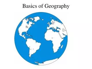
Over the centuries, mapmaking has evolved, but the basic task has remained the same—to show locations of places, landforms, and bodies of water and where they are in relation to other parts of the earth. Maps and globes continue to be two of the most common tools of geographers. Let’s take a closer look at globes and map making, or cartography.
Map Projections Although globes are the most accurate portrayal of what the Earth looks like, they are not always the most convenient to use. A PROJECTION is a way of showing the curved surface of the earth on a flat map. Because the earth is a sphere, a flat map will distort some aspect of the earth’s surface. Distance, shape, direction, or area may be distorted.
Lines of LATITUDE are also called PARALLELS because they never intersect. • They are measured in DEGREES, and go from 0°-90° both North and South from the EQUATOR.