Understanding Geography: Latitude, Longitude, and North Carolina's Regions
This guide covers the basics of geography, focusing on latitude and longitude lines. Learn how latitude lines run horizontally and the significance of the equator at zero degrees. Discover the role of meridians along longitude lines, with Greenwich, England as the prime meridian reference. Additionally, explore the various physical regions of North Carolina, including the Mountain, Piedmont, Coastal Plain, and Tidewater regions, highlighting their unique geographic and economic characteristics.

Understanding Geography: Latitude, Longitude, and North Carolina's Regions
E N D
Presentation Transcript
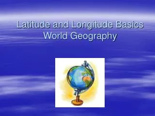
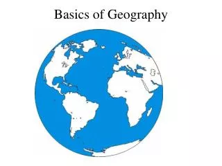
Latitude and Longitude • When looking at a map, latitude lines run horizontally. Latitude lines • Zero degrees is the equator, the imaginary line which divides our planet into the northern and southern hemispheres. 90° north is the North Pole and 90° south is the South Pole. • Think Latitude (Fatitude)
Longitude • The vertical longitude lines are also known as meridians. • Zero degrees longitude is located at Greenwich, England (0°). The degrees continue 180° east and 180° west where they meet and form the International Date Line in the Pacific Ocean. Greenwich, the site of the British Royal Greenwich Observatory, was established as the site of the prime meridian by an international conference in 1884.
Oceans of the World • There are Atlantic, Pacific, Arctic, Indian, and Southern • 71% of the world is water
Continents • There are 7 continents (major land masses).
Mountain Region • Located in the western portion of NC • Rocky soil due to Appalachian Mountains, Blue Ridge Mountains, and the Smoky Mountains • Economy: Tourism and Lumber (Christmas trees) • Region: Low population due to it being rural and mountainous • Ashville, Boone (Appalachian St.) are cities in this region
Piedmont Region • Red clay soil, hilly land (foothills in the south) • Economy: Technology, banking, and education • In the past was textile mills, tobacco, and cotton • Raleigh and Charlotte in this region. • Erosion and overcropping (ruins soil) during 1800’s.
Coastal Plain Region • 1/3 of the state • Flat land and rich soil (fertile soil), and sandhills (golfing) • Economy: Military, agriculture • Fayetteville, Jacksonville • Hot and dry climate, difficult for deciduous trees to grow
Tidewater Region • Sandy soil, barrier islands, sounds (freshwater and salt water mix together here) • Economy: Tourism and fishing • Outer Banks • Gulf stream is a principle in the world’s weather (used for sailing in the 1500’s to 1800’s • Underwater sand bars (shipwrecks, hurricanes), erosion