Download
1 / 22
250 likes | 400 Vues
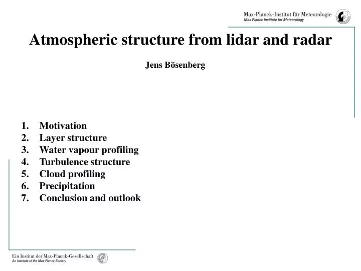
Atmospheric structure from lidar and radar. Jens Bösenberg. Motivation Layer structure Water vapour profiling Turbulence structure Cloud profiling Precipitation Conclusion and outlook. Motivation. Improve prediction of weather and climate

E N D
Atmospheric structure from lidar and radar Jens Bösenberg • Motivation • Layer structure • Water vapour profiling • Turbulence structure • Cloud profiling • Precipitation • Conclusion and outlook
Motivation Improve prediction of weather and climate Improve understanding of atmospheric processes on all relevant scales Improve data sets: accurate and validated climatology of relevant parameters, 4-D coverage horizontal and vertical transport of relevant parameters Improve observational capabilities: global satellite imagery plus high quality reference stations new instrumentation for transport studies
Motivation Rationale for the Global Water Vapor Project (GVaP ) of GEWEX: Objectives: ...improving predictions of weather, seasonal and interannual climate variability, and long-term climate changes ... ...understanding and predicting water vapor variability, forcing and feedbackin the Earth's weather and climate ... Data requirements: ... establish an accurate and validated water vapor climatology on the relevant time and space scales; ... identify the horizontal and vertical fluxes of water vapor and the processes that control those fluxes and the associated phase changes of atmospheric water; ... Instrument requirements: Global observations from satellites plus high quality reference stations. New instrumentation for transport studies.
Applications requiring „new“ instrumentation • Water vapour: • Reference stations: continuous high quality profiling. • Transport studies: high resolution profiling. • Clouds: • 3-D structure, multi-level cloud systems. • Microphysical properties. • Precipitation: • 3-D structure • Replacement of insufficient conventional measuring networks. • Aerosol: • Systematic observations of the vertical distribution. • Systematic retrievals of optical properties.
Backscatter lidar: Layer structure, geometrical properties Raman lidar: Aerosol extinction, (water vapour) DIAL: Water vapour Doppler lidar: Vertical wind RASS: Wind vector, temperature Cloud radar: Cloud structure, phase, vertical velocity Instruments and retrieved parameters: Common features: high resolution, high accuracy, highly specific
aerosol water vapour
AFWEX2000 ARM/CART, Oklahoma aerosol water vapour Single parameters do not reveal the full structure!
AFWEX2000: Intercomparison of water vapour profiling at the ARM/CART site • Very good agreement between 3 advanced lidars and sonde • Raman lidar shows best resolution (during night time!) • Ground based DIAL and Raman show similar statistical errors • Airborne DIAL is better at greater altitudes, but shows less precision and resolution at lower altitudes
Water vapour Distribution Gotland, 13/09/96 Resolution: 10 s temporal 60m vertical
Reflectivity, dBz Vertical velocity, m/s Linear depolarisation ratio, dB • Ka-band cloud radar: • Investigation of meso- to microscale • cloud parameters with high resolution • Boundaries of multilayer cloud systems • Internal dynamic processes/structures • Microphysics of cloud droplets
Application of Ka-band radar: Statistics of typical cloud parameters Number of cloud layers Cloud thickness
Application of Ka-band radar Validation of satellite retrievals, cloud top temperature MODIS retrievals: C. Rathke Inst. Für Weltraumforschung FU Berlin
Resolution temporal 0.1 s, vertical 30m, beam diameter 30 m, measurement at 2860m, bright band at 2400m High resolution necessary to separate different cloud particle fractions!
Common view: • Lidar is a fair-weather instrument only • Lidar is unstable, works for short periods only • Doppler lidar with heterodyne detection • „laboratory setup“ under field conditions • One week continuous measurement • Operation in heavy precipitation • Penetration through rain • Penetration through snowfall • Penetration into cloud • Structure of snowfall • Structure of rainfall • Location of melting layer • Fall speed of precipitation Lidar „sees“ smaller particles than radar
Summary • Active remote sensing provides high resolution data • on the vertical distribution of: • Aerosol • Water vapour, (Ozone) • Wind (vector) • Cloud microphysics and structure • Precipitation • Some techniques are fully operational (radar, RASS) • Some are used in routine applications (backscatter lidar, Raman lidar) • Some need further technical development (DIAL, Doppler lidar), • but perspectives are promising for operational application. • Some need further development of methodology to improve the • interpretation of results (cloud radar).
Outlook • Great progress has be made towards operational use of • advanced lidar and radar methods which will be applied • for monitoring as well as for dedicated process studies. • Combination of • ground-based active remote sensing, • passive satellite imagery, and • data assimilation into models • is very promising for high quality global monitoring.