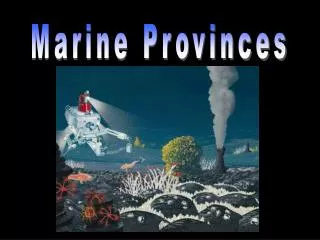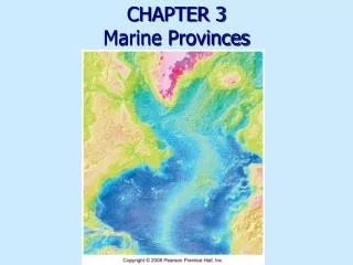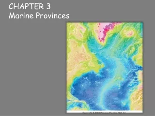
Marine Provinces
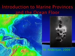
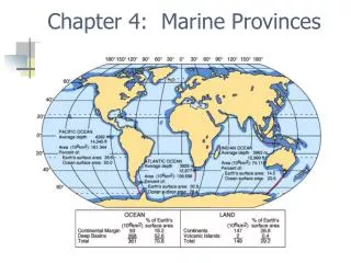
Marine Provinces. Chapter 4. Bathymetry. Measurement of ocean depths and the charting of the shape or topography of the ocean floor . Sounding. Precision Depth recorder using sonar. Side scanning sonar. Simultaneous viewing of sea floor with a cross section of the sediments.

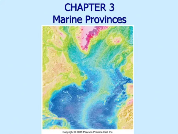
Marine Provinces
E N D
Presentation Transcript
Marine Provinces Chapter 4
Bathymetry • Measurement of ocean depths and the charting of the shape or topography of the ocean floor
Sounding Precision Depth recorder using sonar
Side scanning sonar • Simultaneous viewing of sea floor with a cross section of the sediments
Satellite measures sea surface using radar and correlates that to gravitational attraction of sea floor
Summary of Bathymetry Methods • Sounding (lead line) • Sonar – single beam, multi-beam, side-scan • Seismic reflection • Satellite
Hypsographic Curve • cumulative height frequency curve for the Earth’s surface or some part thereof. A hypsometric curve is essentially a graph that shows the proportion of land area that exists at various elevations by plotting relative area against relative
Mature Ocean Basin • A= Rift, B= Continental margin, C= Ocean crust, D= Ocean Basin, E= Continental Crust
Submarine Canyons and Turbidity Currents • video A=Graded bedding B= Deep-Sea Fans C= Turbidity Current D= Submarine Canyon
G A=continental shelf, B=abyssal plain, C=abyssal hill province, D=mid ocean ridge, E=continental slope, F=trench, G= C. Rise
Landward sides of ocean trenches form a volcanic arc (island arc or continental arc
Pull of subducting plate can make a back-arc spreading center
Rift Valley Forms at diverging plates videoYouTube - Mid Ocean Ridges, Volcanoes, and the Arctic Pillow Lava
Hydrothermal Vents • Black Smoker at > 350⁰C • White smoker 30-350 ⁰C • Warm-water vent <30⁰C video
From magma (A) below, metal sulfides including lead, iron, nickel, copper, zinc and chromium spew out of black smokers (B) and precipitate out creating mineral deposits (C).