Download
1 / 10
100 likes | 272 Vues
“ Imagine a building like a tree… A city like a forest ”. Urban Environmental Planning. Land-use classification for extensive vegetative roof acreage potential in The Bronx. Offers acreage for a range of urban uses. Recreation Agriculture Rainwater harvesting Micropower

E N D
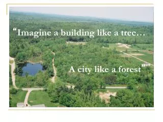
“Imagine a building like a tree… A city like a forest”
Urban Environmental Planning Land-use classification for extensive vegetative roof acreage potential in The Bronx
Offers acreage for a range of urban uses • Recreation • Agriculture • Rainwater harvesting • Micropower • In the form of generators, windmills, etc.
Mitigate urban environmental problems • Storm water runoff • Combined sewage overflows • Sources of water pollution • Urban heat island effect • Air pollution
Economically viable & Little restrictions • Load-bearing: • Soil can be very shallow • Low maintenance, drought resistant succulents & low- growing plants • Roof slope: • Flat roofs with 5-20 degree slopes work best, but 20-40 degree slopes still work.
No longer a question of why and how, but when and where? urban areas
Next steps: Use data satellite imagery to identify the areas with the worst Urban Heat Islands Effects and pollution problems that come from that.