Download
1 / 23
230 likes | 333 Vues
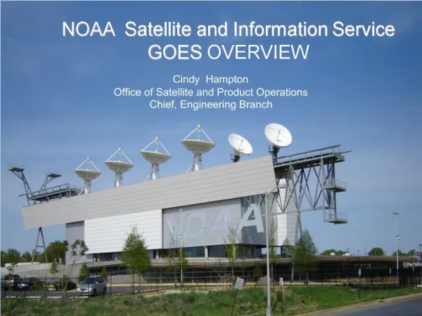
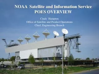
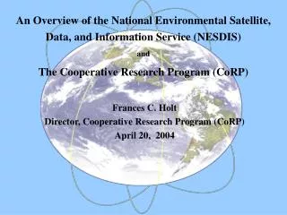
National Environmental Satellite, Data, and Information Service Helen M. Wood Director Office of Satellite Data Processing & Distribution U.S. National Oceanic and Atmospheric Administration. National Environmental Satellite Data and Information Service.

E N D
National Environmental Satellite, Data, and Information Service Helen M. Wood Director Office of Satellite Data Processing & Distribution U.S. National Oceanic and Atmospheric Administration
National Environmental Satellite Data and Information Service MISSION:To provide and ensure timely access to global environmental data to promote, protect, and enhance the Nation’s economy, security, environment, and quality of life. To fulfill its responsibilities NESDIS acquires and manages the Nation’s operational environmental satellites, provides data and information services, and conducts related research.
NESDIS Programs Geostationary Operational Environmental Satellite (GOES) Polar-orbiting Operational Environmental Satellite (POES) • Environmental Data Management • National Climatic Data Center • National Oceanographic Data Center • National Geophysical Data Center Applications Research and Development Satellite Data Processing & Distribution Commercial Remote Sensing Licensing
NESDIS Operational Hazard Monitoring • Tropical Cyclones • Heavy Precipitation • Volcanic Ash Clouds • Sea and Ice Products • Coastal Hazards • Fire monitoring • Drought Monitoring • Disaster Response and Recovery
Focus on near-real time access
Tropical Storm Support Monitoring and Early Detection Tracking and Prediction Support Damage Assessment and Response
Tropical Cyclone Meteosat-5 (INDOEX) movie of Tropical Cyclone 05B
Tropical Cyclone Classifications WWIO21 KWBC 071505 SATELLITE WEATHER BULLETIN SOUTH INDIAN OCEAN METEOSAT 5 IRNIGHT . MARCH 08 2000 1400Z . 26.2S 114.5E OVER LAND STEVE (14P) . PAST POSITIONS....25.4S 113.5E 09/0232Z VIS/IRDAY 24.5S 113.0E 08/1232Z IRNIGHT . REMARKS....CENTER IS NOW OVER LAND. . CONFIDENCE FACTOR IS 3. . THIS WILL BE THE FINAL BULLETIN ISSUED ON STEVE. . TURK . NNNN
Precipitation Estimates NOAA/NESDIS RAINFALL AUTOESTIMATOR PRODUCT
IKONOS Image of Venezuela Mudslide Credit: Spaceimaging.com
Direct Services • Direct Broadcast Services • GOES GVAR/WEFAX • POES HRPT/APT • Data Collection Systems (DCS) • GOES DCS • Argos DCS
Global Receivers WMO Registrations • APT = 4,910 • HRPT = 630 • WEFAX = 4,900 • HR / GVAR = 930 Registration not required. Estimated numbers of receivers 2X or 3X or more
GOES Data Applications Analysis & Forecast 19% River Forecast 19% Seismic 2% Irrigation Control 3% Reservoir Management 16% Navigation 4% Fire Potential 6% Other 14% Improved DCS Ops 8% Water Quality Mont. 9%
DCS SUPPORT to Hurricane Mitch Project • NWS installing DCP’s in Central America for Hazards Preparedness • Approximately 120 stations to date • Flood Monitoring, Tide Monitoring, Standard Environmental Measurements, etc.
Objectives Improve decision making before, during, and after emergencies through better access to and quality of data and information Identify users and their needs Provide information products specifically designed to meet users’ needs Promote efficiency and cost effectiveness Stimulate and facilitate mitigation
Guiding Principles The products should be based from the outset on user needs A major focus should be on integration of various data types Data and information quality and reliability are major issues that need to be addressed An effective dissemination and access plan is critical to the success of any information system