Download
1 / 22
240 likes | 273 Vues
Dive into the world of geography, from ancient mapmaking to modern technologies. Discover the diverse realms of physical and human geography as you learn to think geographically.

E N D
Thinking Geographically AP Human Geography Parkview High School
Introduction • What is Geography? • Geography is a representation of the whole known world together with the phenomena which are contained therein • Ptolemy, Geographia, 2nd century A.D. • Definition • Scientific study of the location of people and activities across Earth, and the reasons for their distribution
History v. Geography • Historians • When and why? • Geographers • Where and Why?
2 Factors • Globalization – cultural and economic interaction amongst the world • Local Diversity – cultural traditions and economic practices
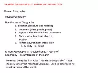
Types of Geography • Eratosthenes – first to use geography • Geo = “Earth” Graphy = “to write” • Physical Geography • Where and why natural forces occur • Human Geography • Where and why human activities occur
Example – Hurricane Katrina • Physical Geography • Human Geography
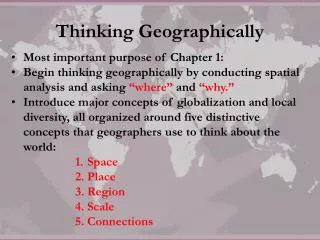
Five Ways to Think About the World • Place • Specific point on Earth distinguished by a particular characteristic • Region • Area of Earth distinguished by a distinctive combination of cultural and physical features • Scale • Relationship between portion of Earth being studied and the Earth as a whole • Space • Physical gap or interval between two objects • Connections • Relationships among people and objects across the barrier of space
Key Issue #1 • How do Geographers Describe Where Things Are?
Maps • Definition: two-dimensional or flat scale model of Earth’s surface • Cartography – science of map making • 2 Purposes • 1. tool for storing reference material • 2. tool for communicating geographic information
Early mapmaking • Earliest surviving maps – clay tablets from Babylon (2300B.C.) • Miletus – port in Turkey – became a center for geographic thought • Ancient Greeks – Aristotle(first to accept that Earth was spherical) and Eratosthenes (map that was within .5% accurate and had climatic zones
Early Mapmaking • Roman Times • Greek Ptolemy traveled the Roman Empire – 8-volume “Guide to Geography” • Codified mapmaking – more fanciful maps • Outside Europe • Phei Hsiu(A.D. 276) – father of Chinese cartography • Ibn-Battutah (1304-1368) 30 years and 75,000 miles of travels – mapped Mediterranean and Asia • Age of Exploration • Columbus & Magellan
Map Scale • 3 Representations • What is Appropriate? • Depends on the information being portrayed • Downtown area – 1:10,000 • State – 1:10,000,000 • World – 1:100,000,000
Projection • Definition – method of transferring locations on Earth’s surface to a flat map • Result of being flat = distortion of some type: shape, distance, relative size and direction • Mercator • Shape distorted very little, direction is constant • Area is grossly distorted toward the Poles • Robinson • Useful for information across the oceans • Land areas are much smaller
U.S. Land Ordinance of 1785 • Western land in early United States divided into townships and ranges • Township – square 6 miles on each side • Divided into 36 square mile sections • Each section divided into 160 acres – then sold to pioneers • Explains – How states, streets, farms etc got their shape and location
Contemporary Tools • Geographic Information Science • Study helping geographers create more accurate and complex maps, can also measure changes • GIS (Geographic Information System) • The computer system that can capture, store, query, analyze, and display geographic data – each type of information is stored as a “layer” • Remote Sensing • The acquisition of the data from satellites • GPS (Global Positioning System) • device used for navigation from aircraft, ships, now common in cars