
SlideServe
Menu
Préférences
© SlideServe · v2026

### "Optimizing Multiscale Mapping: Techniques for Feature Elimination and Labeling" ###

eric-barber avatar
23 diapositives · 364 Views · Nov 07, 2014

This study explores systematic approaches for eliminating geographical features and optimizing labels in multiscale mapping. It reviews various techniques, such as pruning, thinning, and filtering, specifically using tools like USGS hydro tools and ArcGIS. A case study on populated place labels demonstrates how to dynamically adjust label sizes based on population and scale. Emphasizing the importance of database-driven cartography, the paper advocates for systematic elimination practices to improve clarity at varying scales. It highlights design decisions, content, and label changes, showcasing the impact of feature elimination on map readability. ###
### 
"Optimizing Multiscale Mapping: Techniques for Feature Elimination and Labeling"

### - slide 1
01 / 23### "Optimizing Multiscale Mapping: Techniques for Feature Elimination and Labeling" ###
1 / 17

Télécharger la présentation

### "Optimizing Multiscale Mapping: Techniques for Feature Elimination and Labeling" ###
Une image / un lien ci-dessous est fourni (tel quel) pour télécharger la présentation

Politique de téléchargement : le contenu du site vous est fourni TEL QUEL pour votre information et votre usage personnel ; il ne peut être vendu, concédé sous licence ni partagé sur d’autres sites sans l’accord de son auteur.Le contenu vous est fourni TEL QUEL, pour votre information et votre usage personnel uniquement. Téléchargez la présentation en cliquant sur ce lien. Lors du téléchargement, si vous ne parvenez pas à télécharger une présentation, l’éditeur a peut-être supprimé le fichier de son serveur.Pendant le téléchargement, si vous ne parvenez pas à obtenir une présentation, le fichier a peut-être été supprimé par l’éditeur.

F I N

Plus de contenu associé

Transcription de la présentation
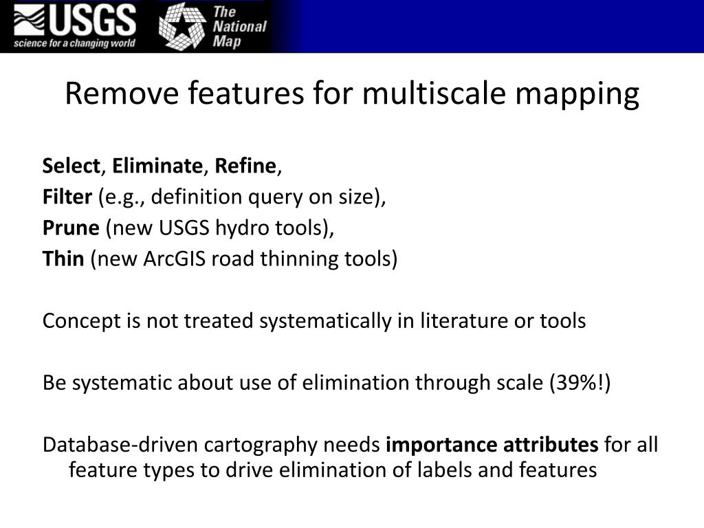
  1. Remove features for multiscale mapping Select, Eliminate, Refine, Filter (e.g., definition query on size), Prune (new USGS hydro tools), Thin (new ArcGIS road thinning tools) Concept is not treated systematically in literature or tools Be systematic about use of elimination through scale (39%!) Database-driven cartography needs importance attributes for all feature types to drive elimination of labels and features

  2. ScaleMaster.org – multiscale design decisions

  3. Populated place labels – case study

  4. Dynamic labels in ArcGIS, no annotation GNIS pt CDP MCD County Incorp.

  5. GNIS pt CDP MCD County Incorp.

  6. GNIS pt CDP MCD County Incorp.

  7. GNIS pt CDP MCD County Incorp.

  8. Elimination matters! GNIS pt CDP MCD County Incorp.

  9. Label sizes by population and map scale Details…See Brewer presentation from ICA Commission meeting on Generalisation and Multiple Representation last week aci.ign.fr Label pattern for incorporated places (C5) only

  10. Hydrography case study

  11. Hydrography data for smaller scale ‘Display’ and ‘Geometry’ changes • Pruning (remove in database) C- • Simplification Gs • Collapse (centerline replaces river area) Gc • Selection on size (remove in database or remove symbol) C- • estimated upstream drainage area (UDA) • polygon area • Reclassify (categories, taper by UDA) Cc Also, symbol lightness, width, label size, label removal… Sc Sz La L- Brewer and Buttenfield, 2010, Geoinformatica

  12. Hydro change through scale • Fuller map design context (captures from ArcGIS screen) • Compare geometry/display change to display only solutions • 11 slides, with toggling through versions at each scale

  13. 24K hydro data (OK at 36K)

  14. 24K hydro data (not suited to 72K)

  15. 50-200K LoD (OK at 72K)

  16. 50-200K LoD (OK at 144K)

  17. 50-200K LoD (not suited to 289K)

  18. 200-500K LoD (OK at 289K) Geometry solution

  19. 50-200K LoD (display-only solution at 288K)

  20. 500K-1M LoD (OK at 578K)

  21. Elimination decisions in ScaleMaster

  22. Remove features for multiscale mapping Of 94 changes in draft ScaleMaster: 30% label changes (including removing labels) 26% symbol changes 14% geometry changes (not yet applied to all themes) 31% content changes Content and label removal are 39% of design decisions in this draft multiscale mapping (20K to 1M) To>