Download

1 / 55
550 likes | 656 Vues
Engage eighth graders in a fun and interactive learning experience about watersheds, topographic maps, and water erosion with the "Watershed Challenge." This PowerPoint game involves answering questions related to the Beaver Water District and its geography. Participants earn points by correctly asking questions corresponding to presented answers. The game covers various topics, from contour lines on maps to the effects of erosion, making it a comprehensive learning tool about local water resources and environmental science. Great for classroom competition!

E N D
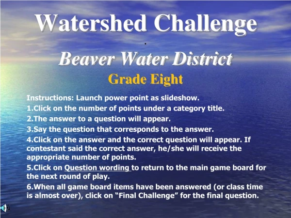
Watershed Challenge.Beaver Water District Grade Eight Instructions: Launch power point as slideshow. Click on the number of points under a category title. The answer to a question will appear. Say the question that corresponds to the answer. Click on the answer and the correct question will appear. If contestant said the correct answer, he/she will receive the appropriate number of points. Click on Question wording to return to the main game board for the next round of play. When all game board items have been answered (or class time is almost over), click on “Final Challenge” for the final question.
Final Challenge Topographic Maps Water Erosion Changes Watersheds Beaver Water District Quiz 100 100 100 100 100 200 200 200 200 200 300 300 300 300 300 400 400 400 400 400 500 500 500 500 500
Improves crop productivity and landscaping but may leach into the ground water supply or be carried during erosion.
Large mass of frozen water that moves slowly over earth’s surface, eroding it
Bare fields, housing projects, construction sites, or cities as initial sites for sediments
For a stream, may vary from a few centimeters to several kilometers
Type of load made up of ions from chemical weathering that have dissolved in water
Type of load made up of coarser, denser particles that stay on the bottom of the stream most of the time but occasionally move by “jumping”
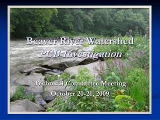
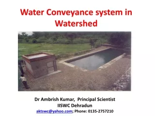
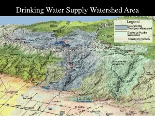
The name of the watershed that provides water for the Beaver Water District
An area of land that drains water, sediment, and dissolved materials to a common receiving body
Counties for whose residents, Beaver Water District is the primary water source
The year that Beaver Dam was completed (choices: 1942, 1954, 1966, 1978)
The primary source of drinking water for cities in Northwest Arkansas.
The primary pollutant threatening the water quality in the West Fork of the White River.