Download
1 / 48
490 likes | 788 Vues
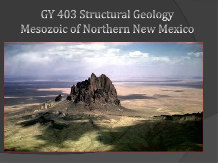
GY 403 Structural Geology Mesozoic of Northern New Mexico. Study Area. Taos Ski Valley Wheeler Peak Copper Hill. Taos Ski Valley. Taos Ski Valley. A village and alpine ski resort in Taos County Originally settled by miners in the 1800s

E N D
Study Area • Taos Ski Valley • Wheeler Peak • Copper Hill
Taos Ski Valley • A village and alpine ski resort in Taos County • Originally settled by miners in the 1800s • Founded as a ski mountain in 1955 by Ernie and Rhoda Blake and incorporated in 1996 • The 2010 census reported a population of 69 • Until March of 2008, it was one of four American ski resorts prohibiting snowboarding • Still managed by the Blake Family and has the highest rated ski school in North America
Wheeler Peak • Lies in the southernmost sub-range of the Rocky Mountains (Sangre de Cristo) and is the highest peak in the state of New Mexico at 13, 161 feet • Named in honor of General George Montaque Wheeler (1842-1905) • Lies southeast of Taos Ski Valley • Is a focal point of the 19,661 acre Wheeler Peak Wilderness Area in Carson National Forest
Copper Hill • Average elevation of 7,648 feet above mean sea level • Very sparsely populated with approximately 13 people per square mile • The nearest town larger than 50,000 population is about 2 hours away • Earthquakes predicted approximately every 50 years and are known to register 5-6 on the Richter scale • Copper, Silver, and Antimony deposits
Minerals and Mining • Mining currently has an approximate $4.4 billion annual direct and indirect impact on the state’s economy • The Mining Association estimates about 6,000 work in mining in New Mexico today, with average annual salaries above $60,000 • Ranked No. 3 nationwide in copper production, No. 1 for potash, perlite and zeolite, and 12th in coal. • Gold, silver and rare-earth minerals are also getting a boost from high market prices.
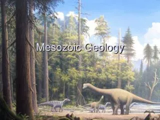
Triassic By the Triassic Period, Northern New Mexico had become arid and many of the multi colored sandstones & shales of the Chinle Formation were being deposited by rivers. Dinosaurs also roamed through the region as evidenced by many fossil beds
Jurassic During the Jurassic a saline lake formed over the region. This altered the sedimentation to include mudstone, siltstone, and limestone of the Morrison Formation
Cretaceous In the Cretaceous Period, New Mexico was divided by an inland sea. It was during this time that the Dakota Sandstone and Mancos Shale were deposited
Stratigraphy • San Ysidro • Anticline and Syncline • Jemez Mountains • Valle Caldera
San Ysidro An eroded anticline and syncline make up the major geology near this little town with late Triassic to early Cretaceous sedimentary rocks exposed in the folds.
Late Triassic – Mid Jurassic Units • The core of the anticline contains the Painted Desert Member of the Petrified Forest Formation (Chinle Group). A red to green siltstone and mudstone deposited on the floodplain of a large northwest flowing river system about 205 – 210 Ma. • The Middle Jurassic Todilto formation lies directly on the Chinle group in this area. View toward thenorth of the east limb of the anticline. TRcpd is the Triassic Painted Desert member of the Petrified Forest Formation (Chinle Group) and Jt is the Jurassic Todilto Formation. The mountains on the skyline are the Sierra Nacimient o. Photograph taken by Richard Kelley.
The Todilto Formation was deposited in a salina about 159Ma during the Jurassic ocean, and is composed of two units; • Mesa Luciano Member – a basal laminated shale and limestone • Tonque Arroyo Member – an upper gypsum deposit • The Summerville Formation lies above the Todilto and was deposited on an arid coastal plain • Summerville Formation – a maroon mudstone and pinkish-tan, poorly cemented sandstone. • The Morrison Formation has two units exposed in this area; • Salt Wash Member - this is a river channel sandstone making up the basal unit of • the Morrison. It has distinctive gold colored cross-bedded sandstone and red to green silt stone. The sandstone contains a good amount of concretions and form the west-dipping beds on the eastern flank in the anticline. • Brushy Basin Member – interbedded salmon pink to a pistachio green siltstone • with thin river channel sandstone. This formation has preserved dinosaur bones and highly polished gastroliths. Radiometric dating of ash beds contained in the Brushy Basin in Utah and Colorado place the age of this member at 148 – 150 Ma ( Kowallis, 1998) .
View of the east limb of the anticline, looking north toward the Sierra Nacimiento. Js is Jurassic Summerville Formation, Jms is the Salt Wash Member of the Jurassic Morrison Formation, and Jmb is the Brushy Basin Member of the Morrison Formation. Photograph by Richard Kelley
The top of the Morrison formation is composed of the Jackpile Sandstone. • Jackpile Sandstone Member – River deposit. East limb of the anticline exposing the Brushy Basin Member and the Jackpile Member of the Morrison Formation (Jmb and Jmj) and the basal unit of the Dakota Formation (Kd). Photograph by Richard Kelley.
Cretaceous Units • The Cretaceous units exposed here are coastal plain, shoreline and marine deposits from along the western area of the Western Interior Seaway about 93 – 125 Ma yrs ago. • Dakota Formations - base is distinguished by the chert and quartzite pebble • conglomerate that was deposited on and irregular surface. This formation is composed of six units in this area, five of which are in continuous sequence. The top unit is separated by a tongue of the Mancos Shale. • Encinal Canyon Sandstone – the basal unit, a thin bedded, cross-bedded, gold • colored sandstone interbedded with carbonaceous beds and black shale. • Oak Canyon Member – a shale containing plant material fossils interbedded with • thin bioturbated sandstone beds. The sandstones are cross-bedded locally and intensely burrowed. • Cubero Sandstone – gold colored, bioturbated sandstone • Clay Mesa Member – black marine shale • Paguate Sandstone – orange – yellow sandstone that has been bioturbated, and • contains ripple marks. • -A thin tongue of the Mancos Shale overlays the Paguate sandstone here • Twowells Member - Sandstone
The Jemez Mountains The Jemez mountains surround the Valle Caldera, One of the largest volcanic craters in the world.
There are some Triassic age stratagraphic units exposed on the southern end of the Jemez uplift though. - Anton Chico Member of the Moenkopi Formation. This unit is the oldest unit Exposed here and overlies disconformably, middle Permian sandstones that are relatively thin units (up to 39m) recognized as red-bed sandstones. - Agua Zarca Formation of the Chinle Group overlies disconformably the Moenkopi Formations and are a thick sequence ( up to 400m) of red-bed mudstones with a fairly thick basal unit ( up to 61m) of sandstone and extrabasinal conglomerates.
Triassic Units • Chinle Group • Agua Zarca Member sandstones are white to brown, med-coarse grained • quartz arenite, typically crossbedded conglomerates. The dominant clast are • Metaquartzite pebbles up to 15cm with some red jasper, and petrified wood mixed in. • The Agua Zarca generally fines upward and conformably grades to the Salitral. • The Salitral Formation is comprised of mostly purple, blue and red mudstone with Calcareous concretions and the maximum thickness of the Salitral is 102m but is • Usually thinner. • The Poleo Formation sandstone and conglomerate dominated unit resembles • The Agua Zarce Formation. However the Poleo sandstones are gray micaceous • Litharenits. The Conglomerates are dominately calcrete clasts with siliceous • Clast being uncommon. The Poleo maximum thickness is 40m in northern areas, • And thins southward into the Jemez uplifts. The base of this unit is a • Disconformity while conformably overlain by the Petrified Forest Formation. • The Petrified Forest formation is dominated by reddish brown mudstone that is • the Painted Desert Member. It also contains many thin beds of crossbedded • Or laminated micaceous litharenite and calcreteclast dominated conglomerate. • The upper part of the Petrified forest formation is the correo sandsone bed of • The painted desert member and is disconformably overlain by the Middle • Jurassic Entrada Sandstone.
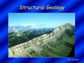
Structural Features Cabezon Peak, an eroded volcano throat, near San Ysidro
Jemez Mountain Range Cont. • Jemez lineament is a NE trending crustal flaw that controlled volcanism and tectonism in the Jemez Mountains and the Rio Grande rift zone • Volcanism did not begin until after the Sante Fe rift • The volcanic rocks lie uncomformably on top of igneous, metamorphic, and sedimentary rocks • Ages range from Precambrian through late Tertiary. • Mesozoic sedimentary rocks form the eastward-dipping backslope of the Sierra Nacimient • The Valles Caldera truncated an older volcanic flow
Jemez Mountain Range Cont. • The western margin of the Rio Grande depression in the Jemez area is delineated by a zone of northeast-trending faults. • An en echelon zone is expressed by the Pajarito fault zone in the San Miguel Mts • North of Santa Clara Canyon,fault zone is a series of antithetic faults that displace the basalts along the eastern edge of Lobato Mesa. • Faults in the West generally show more normal displacement downward to the east with Right-Slip faulting • Faults in the East are antithetic (displacement is opposite to faults ) with Left slip faulting • Fun Fact: Due to such high geothermal volcanic activity, the Jemez Mountains contain several hot springs, making them a tourist Hot Spot
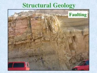
Sandia Mountains • Dominated by an eastward-tilted fault block • An unusual structure of the area is the Tijeras rift belt bounding the uplift that trending northeastwards and contains a southwestern folded graben and a northeastern horst • Tijeras rift belt was formed in the Laramide Orogeny • North-east striking, subvertical faults : Tijeras, Gutierrez, San Lazarus, Los Angeles, and Lamy faults
Sandia Mountains Cont. • Tijeras fault is a Left-Lateral Slip • Fault system links to north-striking Picuris-Pecos fault system • Tijeras–Cañoncito fault system is characterized bysubparallel faults, • Horsts and grabens are present along much of its length.
Albuquerque Basin • The basin is part of an orogenic belt dominated by a rift valley system • To the west is the Colorado Plateau, the Sandia fault to the east, the Nacimiento uplift, into the Jemez Mts, and La Bajada scarp to the north, and the Socorro constriction to the south. • consists of two subbasins downdropped along low-angle to listric, normal faults of opposing structural polarity seperated by a mid-basin transverse structural zone
Mancos Shale Deposited by an ancient inland sea during the Cretaceous time period. Source: geosciences.fau.edu
Dakota Formation Deposited during Early Cretaceous and earliest Late Cretaceous in response to a regional transgression. Source: bforist.blogspot.com
Morrison Formation Consists of sandstone and mudstone deposited in fluvial environments. Source: en.wikipedia.org
Summerville Formation Summerville deposition took place on a vast arid coastal plain that extended from Utah to Oklahoma (Anderson and Lucas, 1992, 1994; Lucas and Anderson, 1997). Source: urth-picturepost.blogspot.com
Todilto Formation Is limestone that was deposited by a saline inland sea. Source: fs.usda.gov
Chinle Group Deposited on widespread alluvial plains of low relief. Source: schmunda.blogspot.com