Download
1 / 14
140 likes | 154 Vues
Get the latest information on the LiDAR data acquisition in Minnesota, including current data status, data standards, acquisition plans, estimated costs, benefits, and partnerships.

E N D
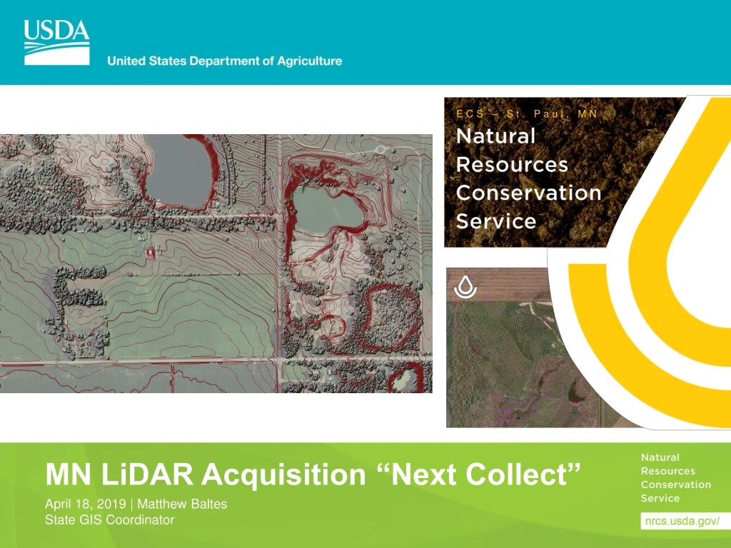
ECS – St. Paul, MN MN LiDAR Acquisition “Next Collect” April 18, 2019 | Matthew Baltes State GIS Coordinator
Current LiDAR Data Status • Predominantly Quality Level (QL) 3 Data with isolated higher level collects in: Metro Area, Superior National Forest, Moorhead and Cass County • QL 3 Data Standards • ≤18.5 cm Vertical Accuracy • 1-2 m Nominal Pulse Spacing • Data Collected 2008-2012 • Data collected by many different entities with a variety of methods and specifications
USGS 3D Elevation Program (3DEP) • Goal of Nationwide QL 2 Data by 2022 • QL 2 Data Standards • 9.25 cm Vertical Accuracy • 0.7 m Nominal Pulse Spacing • Acquisition through the development of partnerships between Federal and Non-Federal entities • Increase Federal Agency Contributions to reduce State and local partner contributions • USGS can contribute up to 50% of Cost • All Federal Agencies can contribute no more the 75% of the Cost • State and Local partners will play a significant role in planning and securing contributions Source: USGS Fact Sheet
USGS Estimations for MN • Estimated Total Cost for QL 2 Data: $28.15 Million • Expected Benefits Annually: $13.64 Million • Cost/Value Recovery Time: 2.1 years • Estimate for QL 1 Data Buy-up: $17.91 Million • QL 1 Data Standards • 9.25 cm Vertical Accuracy • 0.35 m Nominal Pulse Spacing Source: USGS Fact Sheet
Minnesota’s Plan • A 5 year acquisition plan is being developed and will be released October 2019 • Plan is being developed by partners and stakeholders through the 3D Geomatics Committee and MN IT Services (MNGEO) • We are still seeking partners and stakeholders for plan development and financial contributions • Interest in QL1 data for the NE forested areas • Better forestry modeling • A small QL1 spring collect in the NE is under development • QL1 or QL2 for the rest of the state under discussion • NRCS needs fall within the QL2 standards • Interested partners can contact: • Matthew Baltes – NRCS or Dan Ross - MNGEO
National Bulletin 170-19-2 CGI High-Resolution Elevation Acquisition • Annual opportunity for States to identify acquisition requirements and planned areas • Update multi-year plans • Project data requirements to give time for acquisition • Notify potential partners of areas to seek common ground and avoid duplication • Regional Conservationists review investments • Oversight and communication • Areas of Interest immediately appear online • http://arcg.is/1j4W1L
National Bulletin 170-19-2 CGI High-Resolution Elevation Acquisition • Provides states guidance for process and acquisition • National coordination to ensure quality of product, avoid duplication, and working towards a seamless national dataset • NGCE participates in 3DEP on agency’s behalf • Timeline of coordination, funding and acquisition • June 14 – Provide or update AOI of state plan for the next few years. • June 14 – Request central funding • July 30– Transfer State Funds to Collin McCormick (NGCE) for use in Fall of 2019 and Spring of 2020
Why Transfer State Funds to NGCE? • Recommended by NRCS Grants and Agreements to reduce workload on them and USGS Contracting • The Regional Conservationists support this as a best practice for states, approved by the Chief 10/16/2018 • States do not have to mange annual remote sensing investment reports, or other reporting to IPAC certification, or data calls from NASA Congress and others • State funding can be leveraged uniquely as “partner” money in the USGS BAA and eligible for greater levels of matching funds
What’s Next? • Communicate NRCS LiDAR Product needs for consideration into the State Acquisition Plan • Provide AOI data for next 3 years for national map • Allows other agencies to join or expand planned collections • Decide what funding contributions MN NRCS can contribute in the next few years and communicate that to the state plan development team and NGCE • Follow NB timeline to move forward with funding acquisitions through BAA and USGS Geospatial Product and Service Contracts (GPSC) in coordination with State Partners
Data Acquisition Updates Acquisitions
Typical Acquisition Timeline • March-April - NGCE modifying the existing Interagency Agreement for early funds transfer. • Date TBD - the annual National Bulletin on LiDAR data acquisition issued, • 2. May-July - the deadline to get AOIs identified and funds transferred. (Note that money has been received as late as August but that puts pressure on NRCS GASB and USGS contracting.) • 3. Mid-summer - NGCE modifying the existing Interagency Agreement in June or July to allow time to pass through Grants and Agreements Services Branch and USGS Contracting before the fiscal-year-end cutoff of both groups (multiple modifications possible yearly), • 4. August – May - issuing task orders over the next ten months as projects are combined or coordinated with partners and sequenced according to many factors such as weather and leaf on/off status, • 5. Varies - the contractor executing and completing the task order (start and end dates vary), • 6. Varies but could be a few weeks or months - the datasets go through QAQC at the USGS (unless someone has made other arrangements) and the time varies based on whether errors by the contractor are found and the current workload for the USGS office performing the QAQC, • 7. Varies - the data are delivered simultaneously to the NRCS State contacts and NGCE on hard drives, • 8. NGCE performs internal processing and quality assurance to combine these and • 9. NGCE publishes them as the national authoritative geospatial web services hosted at the Enterprise Data Center in Kansas City and updates status maps to communicate project completion.
FY19/20 Data Acquisitions • Agreement modification for national IAA • Twice (Once soon and once later in the summer) • For fall 2019 and spring 2020 collections: • Submit AOIs in response to upcoming National Bulletin • Transfer funds anytime between now and July 30, 2019 • The RCs office and NGCE will work with you. • Let’s avoid the year-end rush in GASB! • Funds obligated in FY19 • Tasks executed in FY19-21 • Seek partnerships all year long. • BAA (Broad Agency Announcement) deadline around late October or early November – but applications are accepted all year. • Contract timing


