Download
1 / 13
130 likes | 311 Vues
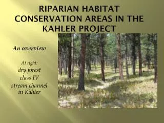
Stream Shade Patterns and Canopy Surface Models Derived from LiDAR Data For the South Fork Nooksack River Erica Capuana EGEO 552. Riparian habitat. Riparian habitat directly influences in-stream habitat by providing: large woody debris bank stabilization, minimizing erosion

E N D
Stream Shade Patterns and Canopy Surface Models Derived from LiDAR Data For the South Fork Nooksack River Erica CapuanaEGEO 552
Riparian habitat • Riparian habitat directly influences in-stream habitat by providing: • large woody debris • bank stabilization, minimizing erosion • filter sediments and runoff • particulate organic matter • shade production
Project Objectives • Develop shade model from LiDAR data • Develop Canopy surface models to describe structure of riparian forest • Relate shade model to actual stream temperatures
Methods • Data: LiDAR data flown on April 20, 2005 • Incorporated all returns LiDAR in FUSION to develop canopy models and view data in 3-D • Import LiDAR data into ArcGIS for shade analysis using HILLSHADE function
Fusion Bare Earth Raw points Canopy surface model
Canopy models – subsample near Howard Creek Aerial photo Vegetation density from 6-50 ft Canopy model > 70 ft
Shade model Shade – function of solar angle and altitude Tree Height layer – First return LiDAR – last return LiDAR Hillshade – using model shadows function for specific dates throughout year
Shade over stream buffer June 15, 2007 August 15, 2007 How to relate to stream corridor?
Conclusions • Hillshade model success • Next steps: • Model stream width • Correlate with stream temperatures • Collect Field data this summer