Download
1 / 20
200 likes | 388 Vues
Use of GPS Radio Occultation Data for Climate Monitoring. Y.-H. Kuo, C. Rocken, and R. A. Anthes University Corporation for Atmospheric Research. GPS Occultation. Basic measurement principle: Deduce atmospheric properties based on precise measurement of phase delay and amplitude.

E N D
Use of GPS Radio Occultation Data for Climate Monitoring Y.-H. Kuo, C. Rocken, and R. A. Anthes University Corporation for Atmospheric Research
GPS Occultation Basic measurement principle: Deduce atmospheric properties based on precise measurement of phase delay and amplitude.
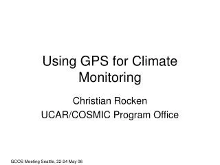
Radiosonde Stations and Manufacturers Vaisala/Australia IM-MK3/India Shang/China MEISEI/JapanMars/MRZ VIZ AIROthers From Junhong Wang
Quantifying Regional Differences • Calculate the mean absolute difference in refractivity between CHAMP and Radiosondes (NCR) between 5 ~ 25 km. • Calculate the corresponding mean of the absolute value of the difference in refractivity between CHAMP and the ECMWF (NCE) • Perform calculation using radiosonde data from different regions of the world from June 2001 to March 2004. From D.Rossiter (UCAR Summer Student)
Statistics of CHAMP - Radiosonde Comparison Fractional Refractivity Differences between 5 ~ 25 km
Climate change to doubling CO2 • Perhaps the most accurate and stable global thermometer for estimating climate change • Most accurate where model-predicted temperature changes are large in upper troposphere and lower stratosphere Meehl et al. 2000, J. Climate.
GPS - NCEP/NCAR reanalysis refractivity difference at 300 mb Northern Hemisphere
GPS - ECMWF analysis refractivity difference at 300 mb Northern Hemisphere
GPS - radiosonde refractivity difference at 300 mb Northern Hemisphere
GPS - NCEP/NCAR reanalysis refractivity difference at 300 mb Southern Hemisphere
GPS - ECMWF analysis refractivity difference at 300 mb Southern Hemisphere
GPS - radiosonde refractivity difference at 300 mb Southern Hemisphere
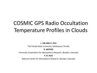
COSMIC (Constellation Observing System for Meteorology, Ionosphere and Climate) • 6 Satellites launched in late 2005 • Three instruments: • GPS receiver, TIP, Tri-band beacon • Weather + Space Weather data • Global observations of: • Pressure, Temperature, Humidity • Refractivity • Ionospheric Electron Density • Ionospheric Scintillation • Demonstrate quasi-operational GPS limb sounding with global • coverage in near-real time • Climate Monitoring
EQUARS o: EQUARS o: COSMIC Distribution of GPS Occultation events in 24 hrs with EQUARS (2006, inclination angle<20o) and COSMIC (2005, 6 LEO satellites at 72o) COSMIC + Dense data rate in equatorial region Global coverage, but less data at low latitudes