Download
1 / 13
160 likes | 262 Vues
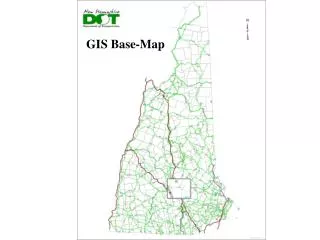
This project explains the preparation of a GIS-based digital metric system for efficient house numbering map creation. It covers data input, management, analysis, and output using various software and data collection techniques. Real-world components of GIS are discussed, including spatial data, attribute data, and data layers. Users and systems involved in GIS processes are also detailed.

E N D
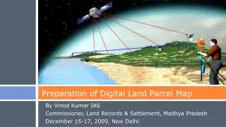
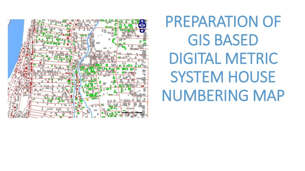
PREPARATION OF GIS BASED DIGITAL METRIC SYSTEM HOUSE NUMBERING MAP
GEOGRAPHIC Information System (GIS) Information System • A means of storing, retrieving, sorting, • and comparing spatial datato support some analytic process. • Geographic Maps • Information Data + • System Computerized Geographic Position
GEOGRAPHIC Information System (GIS) GIS links graphical features (entities) to tabular data (attributes)
Representing Spatial Elements • RASTER • VECTOR • Real World
Components of GIS a. Data 1. Spatial Data 2. Attribute Data 3. Data Layers 4. Layer Types 5. Topology b. Users / System 1. Data Input 2. Data Management 3. Data Analysis 4. Data Output c. Software
Collecting & Creating GIS Data Manual Digitizing Scanning Manual Digitizing Scanning Satellite Image Maps Data Transfer Data Transfer Data Collection Devices Digitizing Mobile Apps
S o f t w a r e • Mapping & Visualization Desktop Software • Arc GIS Desktop License • QGIS Desktop Free • Geo-Media Desktop License • Web Map Data Visualization Server Software • Arc GIS Advance Server • Custom Developed Geo-Portal • Apollo Web Map Application