Download
1 / 1
10 likes | 104 Vues
The NORS project optimizes NDACC data for GMES Atmospheric Service. It develops a Web-based Validation Server for MACC-II products, focusing on ozone, NO2, CO, CH4. Partners collaborate closely with MACC-II consortium. Information available on the NORS webpage.

E N D
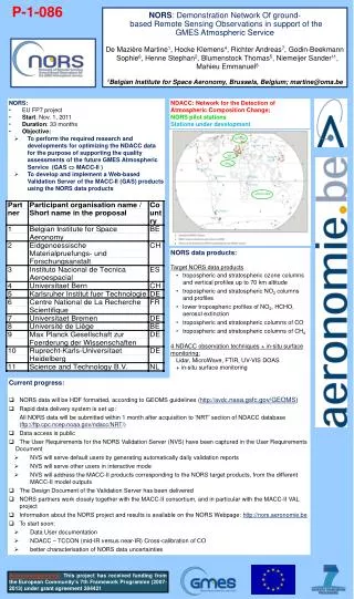
P-1-086 NORS: Demonstration Network Of ground-based Remote Sensing Observations in support of the GMES Atmospheric Service De Mazière Martine1, Hocke Klemens4, Richter Andreas7, Godin-Beekmann Sophie6, Henne Stephan2, Blumenstock Thomas5, Niemeijer Sander11, Mahieu Emmanuel8 1Belgian Institute for Space Aeronomy, Brussels, Belgium; martine@oma.be • NORS: • EU FP7 project • Start: Nov. 1, 2011 • Duration: 33 months • Objective: • To perform the required research and developments for optimizing the NDACC data for the purpose of supporting the quality assessments of the future GMES Atmospheric Service (GAS MACC-II ) • To develop and implement a Web-based Validation Server of the MACC-II (GAS) products using the NORS data products NDACC: Network for the Detection of Atmospheric Composition Change; NORS pilot stations Stations under development • NORS data products: • Target NORS data products • tropospheric and stratospheric ozone columns and vertical profiles up to 70 km altitude • tropospheric and stratospheric NO2 columns and profiles • lower tropospheric profiles of NO2, HCHO, aerosol extinction • tropospheric and stratospheric columns of CO • tropospheric and stratospheric columns of CH4 • 4 NDACC observation techniques + in-situ surface monitoring: • Lidar, MicroWave, FTIR, UV-VIS DOAS • + in-situ surface monitoring m • Currentprogress: • NORS data willbe HDF formatted, accordingto GEOMS guidelines (http://avdc.nasa.gsfc.gov/GEOMS) • Rapid data delivery system is set up: • All NORS data willbesubmittedwithin 1 monthafteracquisitionto ‘NRT’ section of NDACC database (ftp://ftp.cpc.ncep.noaa.gov/ndacc/NRT/) • Data access is public • The User Requirementsfor the NORS Validation Server (NVS) have been captured in the User Requirements Document • NVS will serve default users bygeneratingautomaticallydailyvalidationreports • NVS will serve other users in interactive mode • NVS willaddress the MACC-II productscorrespondingto the NORS target products, from the different MACC-II model outputs • The Design Document of the Validation Server has been delivered • NORS partners workcloselytogetherwith the MACC-II consortium, and in particularwith the MACC-II VAL project • Information about the NORS project and results is available on the NORS Webpage: http://nors.aeronomie.be • To start soon: • Data User documentation • NDACC – TCCON (mid-IR versus near-IR) Cross-calibration of CO • bettercharacterisation of NORS data uncertainties m Acknowledgements:This project has received funding from the European Community’s 7th Framework Programme (2007-2013) under grant agreement 284421