Download
1 / 10
100 likes | 297 Vues
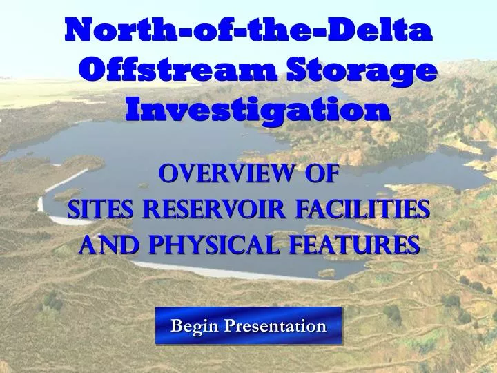
North-of-the-Delta Offstream Storage Investigation Overview of Sites Reservoir Facilities And Physical Features. Begin Presentation. Introduction. This is the second presentation in a series of four and will go over the physical features and facilities of the NODOS project

E N D
North-of-the-Delta Offstream Storage Investigation Overview of Sites Reservoir Facilities And Physical Features Begin Presentation
Introduction This is the second presentation in a series of four and will go over the physical features and facilities of the NODOS project This presentation has zoom features which are accessed by either buttons or areas that are denoted with “Zoom” This is an interactive presentation and is not meant to be linear and can be moved through back and forth at the users discretion Internet Explorer Users - To exit at any time, click the Back Button on your browser All Other Users – To exit at any time, push escape on your keyboard Next ►
Major Northern California Reservoirs Proposed Offstream Reservoir Lake Shasta Sacramento River Lake Oroville Sites Reservoir Folsom Lake Sacramento Sacramento-San Joaquin Delta Next ►
Zoom Major Northern California Reservoirs Main Menu Sacramento River T-C Canal Stony Creek Pipeline GCID Canal Delevan Pipeline (Will no longer be required for diversion of water into TC Canal) Physical Features Map Proposed Offstream Reservoir The map to the right is of the NODOS Features including Sites Reservoir and its conveyance facilities. There are five areas of interest that can be zoomed into for a closer view and more information. The five areas are:- The Tehama-Colusa Canal (T-C Canal)- The Glenn-Colusa Irrigation District Canal (GCID Canal)- Stony Creek Pipeline- Delevan Pipeline- Sites Reservoir FacilitiesClick on the blue highlighted boxes to zoom into that area of NODOS and learn more about that facility or Click the back button to return to the Northern California Map Lake Shasta Sacramento River Lake Oroville Zoom Zoom Sites Reservoir Folsom Lake Sacramento Sacramento-San Joaquin Delta Zoom Zoom ◄ Back
T-C Canal Headworks Tehama-Colusa Canal Menu Red Bluff Diversion Dam Proposed Mill Site Headworks Flat Plate Fish Screen Pipeline to T-C Canal Research Pumping Plant Pumps Tehama-Colusa Canal Red Bluff Diversion Dam Sacramento River Existing Headworks T-C Canal Existing Drum Screen Red Bluff Diversion Dam Existing Facilities Red Bluff Diversion Dam will no longer be required for diversion of water into T-C Canal New pumps and fish screens will replace the current intake structure Mill Site Pump Station The NODOS investigation assumes the new pumping plant at the Mill Site Pump Station will be constructed by the Red Bluff Diversion Dam Fish Passage Improvement Project • T-C Canal • Located West of GCID Canal and generally West of Interstate-5 • Is a concrete lined canal • Has a total length of 111 miles, 66 miles from the Red Bluff Diversion Dam to Funks Reservoir and 45 miles from Funks Reservoir to its terminus • Capacity is 2,700 cfs at the RBDD and 2,100 cfs at Funks Reservoir • Headworks • Gravity diversion behind RBDD • Diverts water from the Sacramento River into T-C Canal • Has rotating drum fish screens in the settling basin • Red Bluff Diversion Dam • Located on the Sacramento River at RM 242.5 near city of Red Bluff • Has eleven 60-foot wide spillway bays each with a movable gate • Gates-in period between May 15 and September 14 • Research Pumping Plant • Located on the right bank just downstream of the RBDD • Includes an intake structure with trashracks and four intake pipes leading to four pump bays • Has a capacity of 240 cfs • Cannot operate at river flow elevations above 245 ft (Will no longer be required for diversion of water into T-C Canal) (Will no longer be required for diversion of water into T-C Canal) Sacramento River Gates would be left up year around as shown in background photo Zoom Out Zoom In Main Menu Next Facility Zoom RBDD Zoom Out ◄ Back More ►
Stony Creek Conveyance Menu Black Butte Reservoir Stony Creek City of Orland Stony Creek Pipeline Tehama-Colusa Canal Proposed Facilities • Stony Creek Pipeline • An eight-mile pipeline from Black Butte Reservoir to T-C Canal • Will have a capacity of up to 2,100 cfs • Will be dependant upon capacity available in T-C Canal Main Menu Next Facility
Glenn-Colusa Irrigation District Canal Menu GCID Canal Headworks X River Oxbow Fish Screen Return Channel to River Sacramento River Forebay GCID Canal Existing Headworks Pump Station GCID Canal Existing Facilities Proposed Facilities • GCID Canal • Improvements to various canal structures • Minimal earthwork to canal cross section geometry • Existing Headgate structure would be replaced • Headworks • New barrier panels inserted into fish screen supports to provide crest raise to allow winter diversion • Rehabilitation maintenance for existing pump station • Concrete lining for 1,000 ft downstream to prevent erosion from turbulent flows • GCID Canal • Located East of T-C Canal and generally East of Interstate-5 • Is approximately 40 miles long • Unlined channel with a capacity varying from 3,000 cfs at the upstream end to 1,800 cfs at crossing of Delevan Pipeline • Headworks • Located at a Sacramento River oxbow above Hamilton City • Diverts water from the Sacramento River into GCID Canal • 10 pumps with a total pumping capacity of 3,000 cfs. • Has a flat plate fish screen structure that spans 1,005 feet Zoom Out Zoom In Main Menu Next Facility ◄ Back More ► More ►
Sacramento River Conveyance Menu Proposed Sacramento Pump Station* Proposed Facilities Fish Screen • Delevan Pipeline • Will have a pump capacity up to 3,000 cfs. • The 3,000 cfs options has three 12 foot diameter pipes carrying up to 1,000 cfs each (3,000 cfs total) from Sacramento River to the Tehama Colusa Canal flowing into Funks Reservoir • Begins at proposed Sacramento River Pump Station located approximately 1/8 mile south and parallel to Delevan Road • Release capacity to Sacramento River will be up to 2,250 cfs • Sacramento River Pump Station • Located on the west bank of the Sacramento River slightly downstream of River Mile 200.5 • Will have a capacity up to 3,000 cfs • The 3,000 cfs option includes three 1,000 cfs pump units and one or two 100 cfs pump units which are used for initial filling of the pipelines • Could generate up to 21 MW of hydropower • Will have a flat plate fish screen on the river Delevan Pipeline Pumps Sacramento River Main Menu Next Facility *Pump Station image used is of the T-C Canal pump station for a visual representation and will be replaced with a Sacramento River Pump Station image when it is available ◄ Back More ►
Sites Reservoir Menu Sites Pumping Plant Terminal Regulating Reservoir T-C Canal GCID Canal Delevan Pipeline TC Canal Delevan Pipeline TRR TRR Pipeline Funks Reservoir GCID Canal Golden Gate Dam Approach Channel Sites Pumping Plant Inlet/Outlet Works Intake Channel Proposed Facilities • Sites Pumping Plant • Located adjacent to Golden Gate Dam • Eight 680 cfs pumps and four 350 cfs pumps – One of the 680 cfs pumps will be utilized as a standby unit • Will pump up to 6,000 cfs of water from Funks Reservoir into Sites Reservoir • Will generate up to 56 MW of hydropower • Terminal Regulating Reservoir • Located on the east side of the GCID Canal near the Delevan Pipeline alignment • Regulates water being pumped from GCID Canal to Funks Reservoir • A pipeline from the TRR will run parallel to the Delevan Pipeline into Funks Reservoir • Sites Reservoir • Located in North-Central Colusa County and South-Central Glenn County, and 10 miles west of the City of Maxwell • Will have a storage capacity of 1.8 million acre-feet • Inundation area will be 14,000 acres • Water Surface Elevations: Maximum 520 ft; Minimum 320 ft • Will have two main dams (Golden Gate Dam and Sites Dam) and 9 saddle dams • Enlarged Funks Reservoir will serve as forebay/afterbay to the reservoir • May include up to 5 new recreation areas Click For Section View of Dam Sites Reservoir Funks Creek Terminal Regulating Reservoir Funks Reservoir Close Zoom Out Zoom Out Funks Reservoir Zoom TRR Next Facility Zoom Dam & Pumping Plant Main Menu ◄ Back More ►