Download
1 / 7
70 likes | 90 Vues
Implementing calibration strategy over an entire river basin involves gathering data, assessing spatial variability, and calibrating hydrologic models for operational use. It requires teamwork, leadership, and the use of computerized tools to ensure accurate results. Historical data analysis should cover a large area and be unbiased to achieve consistent model parameters. Data bias impacts precipitation, temperature, and evaporation, affecting runoff volume and model outcomes.

E N D
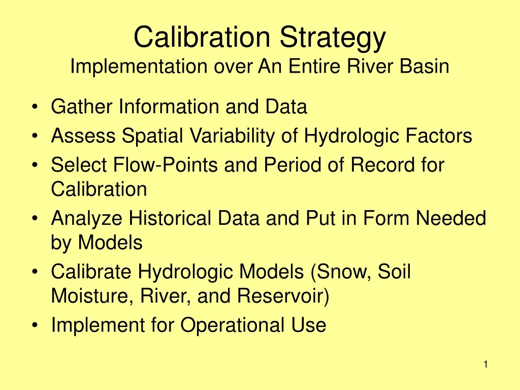
Calibration StrategyImplementation over An Entire River Basin • Gather Information and Data • Assess Spatial Variability of Hydrologic Factors • Select Flow-Points and Period of Record for Calibration • Analyze Historical Data and Put in Form Needed by Models • Calibrate Hydrologic Models (Snow, Soil Moisture, River, and Reservoir) • Implement for Operational Use
Calibration Requirements • Knowledge and experience (requires investment in training and time to develop needed skills) • Teamwork --including people with different types of expertise • Leadership to direct, monitor, and review the overall effort • Computerized tools (interactive, graphical, GIS based) available to reduce manual labor • Must follow proven procedures and strategies
Historical Data Analysis • Should be done over a large area to incorporate spatial variability and terrain effects • Results should be as unbiased as possible compared to what actually occurs • Models are not designed to overcome data bias • Data bias will cause model parameters to become distorted and results to be sub-optimal • Model parameters will not be consistent with hydrologic factors over a river basin or RFC area • Historical and operational techniques should be compatible (i.e., produce statistically similar results)
Effect of Data Bias • Precipitation • Effect most noticeable in total amount of runoff generated • % Change in runoff normally greater than % change in precipitation • Temperature • Effect most noticeable in timing of snowmelt runoff and form of precipitation • Small temperature bias significantly effects snowmelt timing. • Evaporation • Mainly effects total amount of runoff generated • Amount greatest in generally wet regions
Effect of MAP on Model ResultsChanging MAP by 10% Leaf River nr Collins MS.
Effect of MAT on Snow ModelChanging MAT by 2 FSmith River nr Bristol, NH – 1970