Download
1 / 20
200 likes | 332 Vues
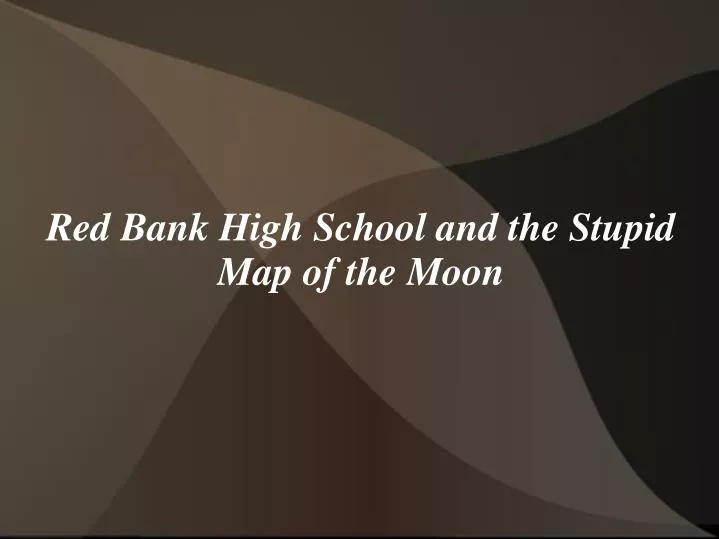
Red Bank High School and the Stupid Map of the Moon. I volunteer......for some stupid reason. Red Bank High School in Chattanooga TN Title 1 – 50% of the kids are on the free lunch plan $50 dollar science budget – yes – $50. OpenStreetMap. Two Semesters

E N D
I volunteer......for some stupid reason. • Red Bank High School in Chattanooga TN • Title 1 – 50% of the kids are on the free lunch plan • $50 dollar science budget – yes – $50
OpenStreetMap • Two Semesters • We become somewhat known in the OSM Community • Teacher has an Idea: Lets do a storm water map for the school. • That's Great!! (F&*K Me)
I then call up my Friends • ESRI • “Can you guys help a brother out?” • They did help a brother out – one fully functioning GIS Lab, Completely Donated for Free!! • ….installed on Craptacular computers in the library
So I come to school and I see • Nasa Project • Measuring Craters • They went to a website called “MoonZoo” and printed out a whole strip of maps. • Measured the craters • Determined an approximate age.
I intervene • Lets do this in ArcGIS • Faster • We can collect More data • How hard can it be.......... • These are the brightest kids in the school....right....
Problems • I forgot You had to download the ESRI iso file from the customer site. That killed 1 week. • I installed ArcGIS on 30 computers by hard drive, thumb drive, DVD • 15 of the computers had the install erased by “Deep Freeze” • The IT Administrator for the building – the Foot ball coach was quoted saying “Huh, didn't see that coming”
Trying to Learn what and Why • I don't really care about the Moon. • It hardly ever hits my eye like a big Pizza Pie • The teacher knew a lot about the moon – not so much about GIS • NASA was incredibly unhelpful. So unhelpful I questioned why they were doing this.
LROC • Did you know you can download lunar imagery? • Did you know You can bring it into ArcGIS? • Yeah – No one else did either.
Hard Drives!! • Luckily The school had a server • Luckily no one wanted to give us disk space after we found out about it. • Luckily “Deep Freeze” would delete all our data off the machines every night. • Luckily the IT department had Flash Drives. • 2....5.....6 Mb. Yes – 256 Megabyte Drives
The cluster that is the LROC site • You can't just pick images to download. • You have to pick an area. • Imagery isn't by spatial location. • Imagery is by date. • So I got to pick the test area more or less by what imagery I could download. • I pointed out to NASA that this sucked. They agreed.
24 Kids – 24 USB drives • 24 Images.....It took me two days to download the imagery • 24 images had to be imported into ArcGIS and luckily NASA had their own data format. • Luckily Frank Warmerdam had written a translation for this in GDAL. • Scripting to the rescue.
Will this help me get a job at Krystal? Hey – Lets Print out the Attribute Table!
So I finally had to ask – WHY? • In Essence – You determine the Ages from our classification • That will tell us along with a geologic map what chances we will have of finding Titanium • Titanium can be used along with water to make oxygen • I can finally have my Rocket Pack and Flying Car
We had to make two presentations • NASA was more or less brutal during the interrogation • Dr. Amanda (Piled High and Deep) wanted to know what the budget was for the school. • $0 • She argued with the kids. I argued back. It was quite pleasant. • I determined she didn't have a romantic life.
In the middle of all this!! ….The day of the final presentation – Tornados. Nasa More or less threatened to disqualify us.
I figured out how to be annoying • We argued our way back into the competition • Had to pester several high ranking people in Houston • The Tweeter • It was a blast
What did we actually do? • To map our section of the moon we needed to learn how to use GIS. We have mapped 51,825 craters on nineteen swathes in the Imbrium Mare and two swathes in the Serenity Mare, all inside and outside of the Archimedes crater. The age of the Archimedes crater inside the southeastern Imbrium is dated to be 1.8 to 2.75 Copernican (billions of years). The age of the western Serenity crater is 2.5 to 4.3 Copernican (billions of years). The class marked the craters in our 21 sections as bright white, dark haloed, compound, or simple. The Profile of Archimedes mapped 1,500 ft. rim walls in the southern portion of Archimedes and 2,300 in the northern portion. For the swathes of Archimedes crater we mapped 9,630.46 sq. km (5,778.4 sq. miles) in the Imbrium Mare, and 2,156.5 sq. km (1,293.9 sq. miles) in Serenity Mare. In total we mapped 11,786.9 sq. km (7,072.11 sq. miles). The Clementine probe data found that rockbasalt with a mineral component of iluminite like we found in the Archimedes crater. It was found that Ilmenite, if processed, could be extracted every hour to make 320 kilograms of titanium. In which will prove useful as building material for moon settlement. When the Ilmenite can be reduced with hydrogen gas and water is yielded, which is electrolyzed to recover hydrogen, gaining breathable oxygen. The melting temperature of basaltic rocks on the moon in Archimedes is 1800 degrees Celsius or 3272 degrees Fahrenheit. Most craters in both areas fell between 50 to 500 meters, with 78.1% in the Imbrium and 67.1% in the Serenity.
Thank you Dr. Amanda • “Many geologist do not use GIS in their science research” • We came in 4th out of 7 schools left