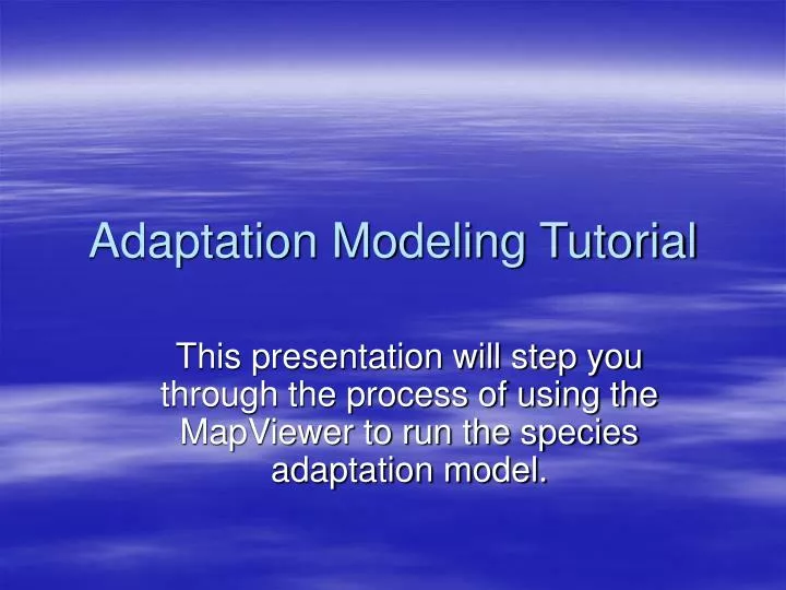

Adaptation Modeling Tutorial
E N D
Presentation Transcript
Adaptation Modeling Tutorial This presentation will step you through the process of using the MapViewer to run the species adaptation model.
Load Mapset • Select ‘US’ and Click Load NOTES: --When you first access the MapServer, you must select a region: USA or China (prc). --You can switch between regions at any time. --Whenever you resize the viewer window, it will reset to this page
Zoom in to the Region of Interest • Select the “Zoom In” tool • Click/Drag the mouse to create a box covering the Pacific Northwest region
Select a User-Defined Layer • Select User-Defined Adaptation Layer • Type = Grass_Annual_CoolSeason • Species = Annual Ryegrass • Version = 1 NOTES: --If you click “Refresh Map” at this point, you will recall any previously run model to the viewer (if any).
Run the Model Interface • Click on the “Wrench” tool. • Click the “Run” button. NOTES: --The model inputs window opens with the parameters that were used to create the selected layer (if it exists). -- If no previous data exists, the defaults for Tall Fescue are used. -- The data values turn blue indicating they are from a previously run/submitted form.
Examine the Results The viewer updates with a map of species adaptation classifications based on the inputs to the model. These results indicate that western Washington and Oregon are characterized by moderately adapted with some well-adapted areas. Areas of central and eastern Washington and Oregon are mostly characterized by marginally and not-adapted categories. NOTES: --Click the legend tool in the toolbar to display the color legend in place of the layer list. --You MUST restore the Layer list (turn off the legend) in order for the model to run correctly.
Let’s say that you know for a fact that this particular grass species is well adapted for the entire Western Oregon region. For some reason, the model is giving you mostly only moderately adapted results. Use the interface to examine the effects of each of the parameters (climate and soils) to determine which parameter is limiting the results. In the model inputs window, turn OFF the checkbox for Soil Drainage and Soil Ph. Click Run. -- Notice how the Western Oregon region is now predominately Well-Adapted. This change indicates that the parameters for Soil Drainage and Soil Ph are the most limiting factors. Investigate the Factors
Adjust the Model • In the model inputs window, turn ON the checkbox for Soil Ph. Click Run. • Adjust the Well-Adapted thresholds for Ph to 5.2-8.3. Click Run and note the changes. • Turn ON the checkbox for Soil Drainage. Click Run. • Adjust the Well-Adapted thresholds for Soil-Drainage to MWD-WD. Click Run and note the changes NOTES: --In this manner you can continually refine the parameters of the model until you get the results you like.
Save the Settings • In the model inputs window, Click the Save Button. • Enter custom text to describe these model settings (do NOT use quotes ‘ or “ in your text). NOTES: --The value you enter will be used to update the “Version” text in the Layer list of the viewer. --The settings will also be stored as a Cookie on your computer that can be recalled later (if necessary).
Recall previously run Settings • When you open the model inputs window, the table values are set to whatever data are resident on the server. These may be yours or some other users who may have modified the same User-Defined type--species--version. • Click “Load” to restore the settings that you used when you last ran the model. • This only works when done from the SAME computer on which you ran the model.
Save Results in a Different Version • Select the User-Defined type--species--version that you wish to modify. • Open the model inputs window. • Make the changes to the model. • Select a NEW User-Defined type--species--version that you want your results saved to. • In the model inputs window, click Run. • When satisfied…click Save.