
~NPMS ~ National Pipeline Mapping System
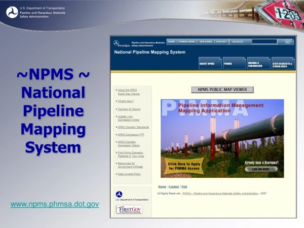
~NPMS ~ National Pipeline Mapping System. www.npms.phmsa.dot.gov. What is NPMS?. National GIS dataset of gas transmission and hazardous liquid pipelines, LNG facilities, and breakout tanks (voluntary) from data submitted by operators NPMS data can be viewed online through

~NPMS ~ National Pipeline Mapping System
E N D
Presentation Transcript
~NPMS ~National Pipeline Mapping System www.npms.phmsa.dot.gov
What is NPMS? • National GIS dataset of gas transmission and hazardous liquid pipelines, LNG facilities, and breakout tanks (voluntary) from data submitted by operators • NPMS data can be viewed online through • PIMMA – access for local government, password-protected • Public Viewer - open access, view one county per session, no password needed • Raw NPMS dataset for import into local government GIS system (such as ESRI ArcGIS) • Does not contain information on interconnects, pump and compressor stations, valves, direction of flow, capacity, throughput, or operating pressure. • Does not contain distribution and gathering pipelines.
Pipeline Attributes • PHMSA-assigned operator identification number • Operator name & contact information • System name • Subsystem name • Diameter (voluntary) • Commodities transported • Interstate/intrastate designation • Operating status (in service, abandoned, retired) • Geospatial accuracy estimate (nominal accuracy is +/-500’) • Required to be updated annually
PIMMA vs. the Public Viewer Public Viewer • Allows user to view, query, and print custom pipeline maps • Extent is limited to one county per session • High Consequence Area population layers are visible; drinking water and ecological layers are not • Zoom extent is limited to 1:24,000 • Sensitive attributes (diameter and data accuracy) are not visible PIMMA • Allows user to view, query, and print custom pipeline maps • Federal users can see the entire U.S. pipeline network • High Consequence Area (HCA) layers are visible • Zoom extent is unlimited • Sensitive attributes (diameter and data accuracy) are visible
Role of NPMS within PHMSA PHMSA uses NPMS data for tasks such as • Asset management and analysis • Emergency response • Decision support and policy making • Inspection preparation • Validating Annual Report statistics and mileage • Locating noncompliant operators …The NPMS website receives 6,000+ visitors per month www.npms.phmsa.dot.gov
Future Direction • Integrating NPMS pipeline data with tabular datasets such as inspection records, accident/incident reports, and special permit data • Creating a “history” for each pipeline segment which will allow PHMSA to track its operator and records over time • Considering rulemaking to expand attributes collected and improvedata accuracy


