Download
1 / 12
130 likes | 160 Vues
This training aims to build Afghanistan's capacity in Water Accounting through practical lessons on GIS, remote sensing, and hydrological modeling. Tailor-made courses cater to water professionals' needs, addressing global and local concerns.

E N D
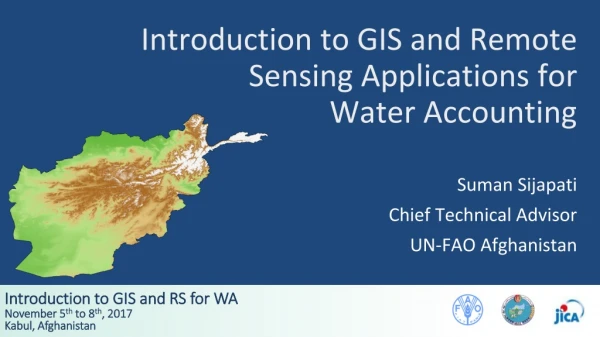
Introduction to GIS and Remote Sensing Applications for Water Accounting Suman Sijapati Chief Technical Advisor UN-FAO Afghanistan
Outline • Why this training? • How will it be implemented? • Where will it be organized? • Who will participate?
Why This Training? - Global Concerns • Increasing competition and conflicts resulting from population, economic growth, rural urban linkages, climate change; • Changing water use priorities and expectations; • New approaches needed to address the issue; • It is a powerful, new and emerging concept gaining attention especially after 1990s; • Technological advances – Remote sensing, GIS, MIS, …
Why This Training? - Local Concerns Afghan professional will face more complex challenges for WM because of: • Water dependent economy • Snow hydrology based water regime with mountainous environment • Most vulnerable to climate change impacts • Need for proper trans boundary WM • Challenges to integrate both development and management options
Overall Objective and Training Packages Overall Objective: • To build the national capacity of Afghanistan in terms of Water Accounting. Training Packages: • WA01 - Basic training on water accounting • WA02 - Practical lessons on water accounting • WA03 - Introduction to GIS and RS Sensing Applications for Water Accounting • WA04 - Introduction to Hydrological Modeling for Water Accounting • WA05 - Introduction to Water Productivity • WA06 - Advanced Training on Water Accounting • WA07 - Introduction to Water Accounting Plus (WA+) • WA08 - Advanced Training on Water Accounting Plus (WA+)
Learning Process • Gradual learning – step by step • Linking the different training package • Overview and specific details • Catering to individual needs
How Will It Be Implemented? • Implemented through tailor made structured training program • Divided into basic and advanced training packages • Course contents developed through available best practices world wide • Contents transformed to Afghan context as far as practicable • Consultation with relevant experts and institutions
Who Will Participate? • Water professionals from: • MAIL, • MEW, and • MRRD • Relevant academics and other interested parties
Where Will It Be Organized? • In country training (basic parts) inviting international experts • Relevant international institutions outside the country • Study tours/exposer visits as required
Expected Outcome The training participants will: • Review the key concepts and terminologies related to Water Accounting. • Gain hands-on experience on the topic of GIS and RS for WA (theory, software, data sources, analysis, interpretation). • A complete set of reference material (reports, power point presentations, etc.) will be compiled and distributed to all participants.