Download
1 / 53
530 likes | 750 Vues
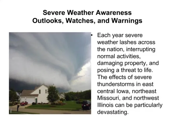
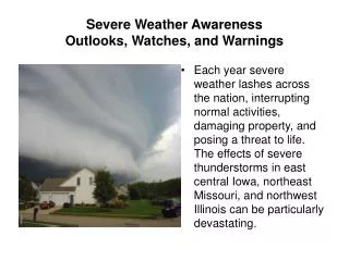
Production and Dissemination of Severe Weather Warnings in Uganda. PRESENTED IN THE WMO SWFDP WORKSHOP FOR EASTERN AFRICA 26 TH NOVEMBER 2012, GOLFVIEW HOTEL MARGARET NANKYA SERWANJA. Severe weather events in Uganda. Heavy rains Lightning Hailstorms OTHERS Landslides Floods.

E N D
Production and Dissemination of Severe Weather Warnings in Uganda PRESENTED IN THE WMO SWFDP WORKSHOP FOR EASTERN AFRICA 26TH NOVEMBER 2012, GOLFVIEW HOTEL MARGARET NANKYA SERWANJA
Severe weather events in Uganda • Heavy rains • Lightning • Hailstorms • OTHERS • Landslides • Floods
Production of Daily Forecasts • Forecast briefing • Consensus • Writing the text ( English and Luganda) • Graphic representation of weather forecast • Recording of forecast on DVD Tape • Transfer to the TV Station
Challenges • Currently forecasts are not broadcast on TV • Not all the radio stations that receive the forecasts issue them
Issuance of Warnings of Severe Weather in Uganda • Severe weather warnings are issued through the Media Centre by the Commissioner. • Thereafter the updates are sent out to the media by the PRO. He uses data sent from the NMC ( Forecasting Office)
Mobile Weather Alert • Fishermen on Lake Victoria are regularly sent forecasts, alerts and warnings via their mobile phones. This enables them make informed decisions as to whether to go out on the lake or not.
Kampala heavy rains that lasted well over 30 minutes flooded several roads.
El Nino 2010 • The seasonal forecast was issued through the Media Centre under the Ministry of Information • Landslides were expected and warnings given through the Media-TV, radio, print • All relevant Government departments were informed – Ministry of Water and Environment , Department of Disaster management, Ministry of Agriculture, Health etc
Various TV, radio and Print media houses continued to get updates from the Department on phone or came physically. • However, a landslide that occurred still had devastating effects.
2010 Landslide in Bududa • Bududa District is found in the Eastern Region part of Uganda about 365 kilometres from the capital city, Kampala.
Physical background • The district lies at an average altitude of 1,800 metres (5,900 ft) above sea level on the slopes of Mt. Elgon, a dormant Pliocene shield (mid-plate) volcano on the border of Uganda and Kenya.
Climate • Mt Elgon has a bimodal rainfall pattern with no dry season and with an annual mean between 1,500-1,800 mm.
Population density • According to the 2002 census Bududa has an average population density of more than 1300 persons km2. This rapidly increasing density implies there is land scarcity in the district where subsistence agriculture is the main land use. Land parcels are therefore small (approximately 35 m2) and even unstable slopes, often steeper than 80% are cultivated.
Landslides • Landslides are therefore common in the districts of Mt. Elgon. These districts include Bududa, Sironko, Mbale, Manafwa, Kapchorwa and Bukwo.
Fig 2. Landslide types occurring in Manjiya County, Mount Elgon , Uganda by Knappen A. and et al 2006.
Landslide of 1st March 2010 • On the night of Monday 1st March 2010 a massive landslide struck Nametsi village in Bududa District. • The tragedy followed a heavy seven-hour downpour which started falling at about midday. • This was the largest and most catastrophic landslide on the Mount Elgon.
Causes of the landslide • However, deforestation may have also played a role. • Deforested mountains are very prone to landslides because there is a lot of loose material- namely soil and rocks. • On a steep slope, trees anchor the soil.
Causes of the landslide • Sources from the Uganda Wildlife Authority (UWA), also pointed out that the affected area was technically inside Mt. Elgon National Park, a protected area, but had been encroached, with villagers felling trees and cultivating on steep slopes since 2007, which may have been a contributing factor for the immense scale of the tragedy.
Effects of the Landslide • Over 300 people confirmed dead . The missing reportedly also include about 100 school children who had taken shelter in one of the villages from the torrential downpour and who were swept away by the mass of water, mud and rocks coming down the mountainside.
Effects of the Landslide • Three villages in total were wiped out in the location, known as Bukalasi subcounty with Nametsi being the hardest hit. The Red Cross said two other villages of Namakansa and Kubewo were also affected.
Effects of the Landslide • About eighteen of the dead were recovered from River Manafwa about 26 kilometres from where the disaster struck.
It is estimated that nearly 50,000 people, some occupying the immediate precincts of the extinct volcano, are regularly exposed to the threat from landslides.
Woman mourns the death of her husband and son. Photo by Stephen Wandera
Relatives stand next to the remains of landslide victims. Photo by Stephen Wandera
The Uganda People’s Defence Forces (UPDF) sent a specialised unit of about a hundred (100) special forces to join in the search for bodies and lucky survivors. Photo by Stephen Wandera
Survivors of a landslide undergo treatment at Budaka hospita
A young boy roasts matooke to eat. Where are his parents and siblings?
Other effects of the landslide • Butaleja district was particularly affected by floods because it is a low-lying area through which water from the Mt. Elgon region drains. • According to experts the problem is compounded by the fact that Butaleja has many rivers which have burst their banks due to the large volumes of water driven to the area by River Manafwa.
Floods in Butaleja • Nawangofu, Budumba, Busabi, Maizimasa Namutu and Kachonga were the hardest-hit sub-counties, rendering 37,000 people homeless, . • The torrential rains of the end of February and beginning of March 2010 have washed away latrines and made mud and wattle houses collapse.
Effect on Education: • At least four schools in Butaleja were closed due to flooding of classrooms and latrines. • Over 2,000 pupils at Doho, Namalere, Lubembe and Bugombe primary schools were faced with a double tragedy-they were homeless and could not attend classes.
Effect on Agriculture • Butaleja, was a leading rice producer and a regional food basket in the past. • Several gardens were water logged. • Most crops in the gardens were washed away or are rotting. • There was a severe food shortage.
Effect on Health • Famine, malnutrition and outbreak of diseases such as cholera and malaria affected the people.
Effect on Transport • The Mbale-Busolwa road was also closed due to flooding. • About 31 kilometres has become impassable, with gravel eroded, sections submerged and culverts and bridges washed away.
WHAT TO DO • Refurbish weather studio and resume weather presentations. • Training of PWS team • Training of Media ( UBCTV and radio) • Reactivate website • Improve the mailing list
Partnership with Media • Issuance of warnings about intense rainfall from the Department of Meteorology on the radio or TV. (Signing of MOU) • Issuance of emergency weather updates on the radio or TV.