Download
1 / 25
250 likes | 269 Vues
Explore the rapid advancements in geospatial analytics for land, sea, and space, including new sensors, hardware, software, and emerging problems. Discover the implications of satellite technology, cloud computing, machine learning, and more. Stay updated on the latest trends and challenges in this rapidly evolving field.

E N D
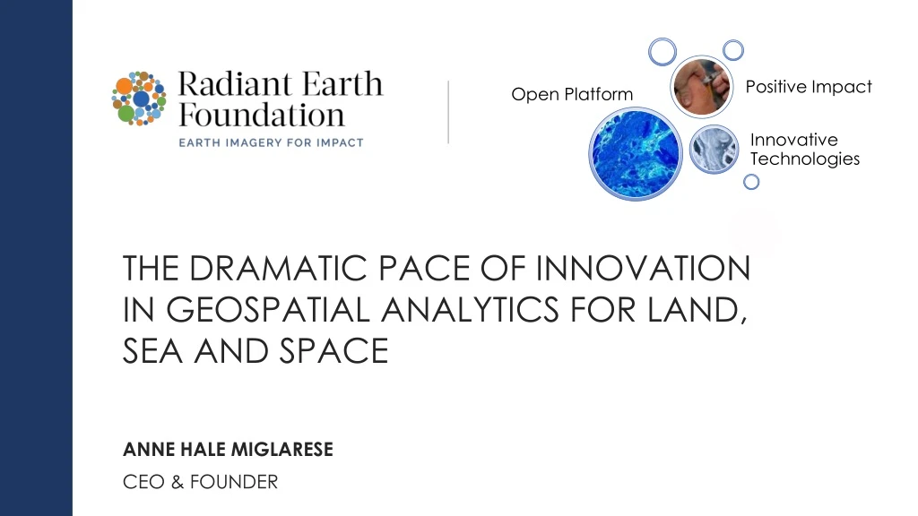
The dramatic pace of innovation in geospatial analytics for land, sea and space Anne hale Miglarese CEO & Founder
Outline • Good to be home • New sensors • New hardware • New software • Old problems • New problems • Conclusion
Satellite > 600 • Cloud Computing • Aircraft • Machine Learning • Drone Dramatic increase in imagery supply IOT New Solutions Digital Twin Block Chain Rapid Innovation
Commercial Visible EO Satellites The era of commercial EO satellites took off in the US after the passage of the Land Remote Sensing Policy Act in 1992 allowing the private sector to operate space systems.
Commercial Radar Satellites Synthetic Aperture Radar (SAR) satellites are active sensors that penetrate through clouds and darkness to monitor Earth surface physical properties.
Commercial Weather Satellites Weather satellites provide information on Earth's climate and atmospheric conditions.
Blue Whale Photogrammetric Measurements October 18, 2017 Uncategorized
23 feet long EACH SAILDRONE IS CAPABLE OF LONG RANGEAUTONOMOUS MISSIONSOF UP TO 12 MONTHS 15 feet tall wind power for propulsion satellite link for live data solar power for electronics
Mapping Buildings for CONUS using DCNN Portland, OR (25,393 m²) Imagery: June – July 2012 Lidar: September 2010 Benchmarked contiguous U.S. on TITAN Frankfort, KY (14,801 m²) Imagery: June 2012 Lidar: June 2011 • 220,005 NAIP images • 1 meter multispectral2012-2014 • ~5.8 TB compressed • 9.8 trillion pixels DOE Oak Ridge National Lab Need to identify a systematic method for analyzing the accuracy of various model outputs across the U.S. Part of Knox County, TN (18,527 m²) Imagery: June 2012 Lidar: October 2014
Timeline of DOE ORNL Support: 2017 Hurricane Season Nighttime lights change analysis for tracking electricity restoration Daily between September 12-18 Currently providing weekly updates Buildings: AL POI: USVI, Puerto Rico, Bahamas, Caicos Island Delivery of LandScan USA population and buildings data for 28 TX counties Buildings: SC, GA Solid Waste sites: 9 southern states FEMA/DHS Request for support Buildings: US Virgin Island Buildings: Puerto Rico Buildings: AL Buildings: FL 24 25 5 6 7 8 9 11 12 18 August September
Monitoring Sludge Volume in Sanitation Facilities Sanitation Team at Bill & Melinda Gates Foundation Independent estimates of sewage processing operations in developing countries are needed to monitor and verify SDG 6. We built and tested two models using Sentinel 1 (3 locations) and Sentinel 2 (2 locations) open source satellite imagery with a machine learning technique. We concluded that the spatial and temporal resolution of available open imagery demands a larger amount of training data to improve the model fit. Alternate locations offering less cloud cover and more training data is recommended.
Machine Learning Signature Libraries Open Training Library of African Crops Using Sentinel-2 Using Convolutional Neural Networks and crowdsourcing to label imagery of major crops • Phase I: Define the appropriate region-specific crop classes through community engagement • Phase II: Generate a set of labeled images for each crop class based on Sentinel-2 and Landsat 8 • Phase III: Develop an online crowdsourcing platform to verify the Phase II-generated labels • Collaborate w/ local partners to organize events, marketing and maximize partner networks • Coordinating w/ African Regional Data Cube
Blockchain Implementation Achieving Conformance Features to Legal Distribution Requirements of Commercial Data IP Blockchain will: • Validate that only legitimate customers (non-profit) have access to commercially licensed imagery • Assure strict data access controls • Provide detailed logs of how the data is used, where it is accessed from and by whom. • Offer significantly improved market statistics on the non-profit communities consumption of imagery. IMPLEMENTATION ON APP.RADIANT.EARTH PLATFORM
Old Problems Persist • Connectivity • Collaboration and data sharing from an institutional perspective not a technical perspective • Capacity Development • Messaging on the solution and not the technology • Funding New Problems Emerge • Privacy and Ethics in Geolocation and Machine Learning • Training data standards & access • COG, STAC & ARD adoption • ML Accuracy Assessment • Staying abreast of a rapidly changing landscape from a technical and market perspective.
Conclusions • Never been a more exciting and innovative period in the geospatial sciences • This is a global phenomena and markets across the globe are responding. • The profession is rapidly diversifying • There are serious issues of privacy and ethics that need to be addressed by this community that have largely been ignored • Commercial Data Suppliers are rapidly changing their business model and moving from selling data to selling services off of their platforms • The European Union is leading the way for supplying and supporting Open Data Innovation