Download

1 / 15
150 likes | 169 Vues
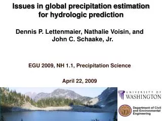
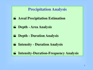
Issues in global precipitation estimation for hydrologic prediction. Dennis P. Lettenmaier, Nathalie Voisin, and John C. Schaake, Jr. EGU 2009, NH 1.1, Precipitation Science April 22, 2009.

E N D
Issues in global precipitation estimation for hydrologic prediction Dennis P. Lettenmaier, Nathalie Voisin, and John C. Schaake, Jr. EGU 2009, NH 1.1, Precipitation Science April22, 2009
The problem: Sparse precipitation station coverage in many land areas: Can remote sensing or NWP analysis fields fill the gap? Parana Paraguay Uruguay Lower Basin
Global precipitation data sets • Adam et al 2006 (gauge based) • ERA-40 • GPCP 1DD GPCP 1DD v A2006 ERA-40 v A2006 ERA-40 v GPCP 1DD
Pan Arctic Water Surface Balance P Yenisei basin
Pan Arctic Water Surface Balance P Lena basin
Pan Arctic Water Surface Balance P Ob basin
Pan Arctic Water Surface Balance P Mackenzie basin
La Plata Basin TRMM 3B42 RP vs. gridded observations -- daily
La Plata Basin -- TRMM 3B42 RP vs. gridded observations -- monthly
Precipitation evaluation- spatial fields Gauge Annual mean precipitation over La Plata basin from gridded gauge, TMPA V.6 (gauge adjusted), TMPA-RT, CMORPH, and PERSIANN estimates for the years 2003-2005. TMPA V.6 mm/yr Difference of annual precipitation between satellite and gauge estimates. mm/yr
Bias relative to gauge estimates for each year ( 2003, 2004, and 2005). The bias significantly decreased in 2005 over basins 3802 and 6598 for the three real-time satellite precipitation products.
Spatial fields of annual mean simulated runoff (2003-2005) Gauge TMPA V.6 Annual mean simulatedrunoff forced by the gauge, TMPA V.6, TMPA-RT, CMORPH, and PERSIANN estimates for the years 2003-2005. mm/yr Difference of annual simulated runoff between satellite-driven and gauge-observation-driven simulations. mm/yr
Simulated with satellite Precip Simulated with gauge Precip Daily simulated streamflow for basin 3802, Uruguay at Paso de los Libres (Area: 189, 300km2, Jan 2003~Aug 2006)
FIG. 7. Spatial fields of annual mean precipitation (mm/yr) from this study (a), CRU (b), VasclimO (c), and ERA-40 reanalysis (d) for La Plata Basin (1979-1999).
Some questions • What can the hydrology community do to persuade the satellite precipitation product community (and program managers) to produce reanalyses of satellite only products that can be tested in a hydrologic setting? • Are we better off assimilating satellite data in NWPs, and using the analysis fields as our best estimates of precipitation, in lieu of precipitation estimates made directly from satellite sensors (e.g., TMPA, CMORPH, etc)? • Who is doing such an evaluation, which seems critical as the GPM era draws near?