Download
1 / 53
540 likes | 759 Vues
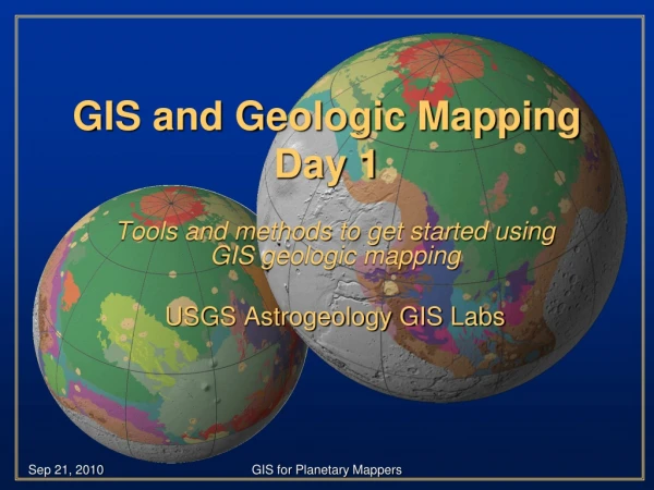
GIS and Geologic Mapping Part 1 of 2. Tools and methods to get started using GIS as a base for geologic mapping USGS Astrogeology. GIS-based Mapping. Though this presentation is geared toward geologic mappers, the information is relevant to all GIS users

E N D
GIS and Geologic MappingPart 1 of 2 Tools and methods to get started using GIS as a base for geologic mapping USGS Astrogeology
GIS-based Mapping • Though this presentation is geared toward geologic mappers, the information is relevant to all GIS users • Screen-shots are likely to differ from individual views • GIS skills are developed through software interaction … be patient and try new things! Tip icon will point out helpful hints throughout the presentation GIS-based Mapping Part 1 (v.2)
An important note. • USGS Astrogeology primarily uses only one “brand” of GIS (ESRI’s ArcMap) • Other brands exist, both free and commercial • “Free” • Quantum GIS (qgis.org/) • UDIG (udig.refractions.net/confluence/display/UDIG/Home) • Open EV (openev.sourceforge.net/) • JUMP (jump-project.org/) • GRASS (grass.itc.it/) • Commercial • TNTmips (www.microimages.com/) • ER Mapper (www.ermapper.com) • PCI GeoMatica (www.pcigeomatics.com) • Global Mapper (www.globalmapper.com) • Integraph (www.intergraph.com) GIS-based Mapping Part 1 (v.2)
GIS Support Nodes • ESRI online portal to technical information • http://support.esri.com • ESRI ArcScripts • http://arcscripts.esri.com/ • ESRI Educational Services • Instructor-led training • Virtual Campus courses • Web workshops GIS-based Mapping Part 1 (v.2)
GIS Support Nodes • Planet-specific information (e.g., data, discussion, tutorials) • http://webgis.wr.usgs.gov/ • USGS discussion board (login required) • http://isis.astrogeology.usgs.gov/IsisSupport/index.php?c=9 “Plugging keywords into a internet search engine is a great way to search for GIS-related assistance!” GIS-based Mapping Part 1 (v.2)
Part 1 Introduction“Just get me started…” • Introduce ArcMap & ArcCatalog interfaces • Create a geodatabase (GDB) • Add project-specific attribute domains • Build a Feature Dataset and add three Features (contacts, structures, units) • Import map bases (raster data) • Edit the Features by adding lines and points (vector data) GIS-based Mapping Part 1 (v.2)
GIS-based Mapping • This presentation geared to planetary mappers…Information is relevant to all GIS users • Screen-shots may differ from individual views • GIS skills are developed through software interaction … be patient and try new things! Tip icon will point out helpful hints throughout the presentation GIS-based Mapping Part 1 (v.2)
GIS - “The horror…the horror….” • Organization!! • Multi-layer display • Digitize and edit on-the-fly • “Easily” generate layouts/figures (Adobe Illustrator compatible) • Raster and vector analysis • Crater counts • Spectral statistics for mapped units • Endless possibilities • Editing is a “snap” • Set rules for validating data • Easily edit/modify existing linework GIS-based Mapping Part 1 (v.2)
ArcCatalog – your friend • Separate entity from ArcMap • Acts similarly to WindowsExplorer • Create new file • Add/Delete folders or files (if unlocked) • Good operating environment for ArcToolBox • Almost always running in background • ArcMap is opened and closed routinely GIS-based Mapping Part 1 (v.2)
What is this “geodatabase” you speak of…? • Microsoft Access database (4GB maximum) • Contains diverse spatial information • Vector, raster, tables • Topology, toolboxes, domains • Easily transferable to colleagues • Easily organized and managed • Stable GIS-based Mapping Part 1 (v.2)
Geodatabase – General Info Tab GIS-based Mapping Part 1 (v.2)
Geodatabase – Domains Info Tab “There is a difference between an attribute domain (described above) and a spatial domain (described later). Use the Arc Help search to see if you can distinguish this important difference” GIS-based Mapping Part 1 (v.2)
Generate Feature Classes • Geodatabase set • Domains set • Contacts • Structure • Temporary unit names • Next…Create a group of affiliated spatial information…a dataset of features(shapefiles) GIS-based Mapping Part 1 (v.2)
Domains • There is a critical difference between attribute domains and spatial domains • Attribute domains are characteristics of a GDB that are applied directly to features • Spatial domains are characteristics of Feature Datasets that control (1) the spatial extent that the user can operate in and (2) the precision of the user’s data “Refer to Part 2 for a detailed description and utility or spatial (X/Y) domains” GIS-based Mapping Part 1 (v.2)
Specify Geometry Specify “Text” (vs. number, etc.) Add “TYPE” Specify DOMAIN GIS-based Mapping Part 1 (v.2)
Three feature classes using three specified domains GIS-based Mapping Part 1 (v.2)
Generate new ArcMap project • Good to have multiple projects • Easily transferable to colleagues with GDB • Organizational preferences abound • Start ArcMap Select: • New empty map • A template • An existing map GIS-based Mapping Part 1 (v.2)
Set Projection in ArcMap Data Frame • Right-click “Layers” Properties • Select appropriate geographic or projected data frame • If feature data is already added, ArcMap may set automatically (Beware) GIS-based Mapping Part 1 (v.2)
Add Features to ArcMap • Drag and drop from ArcCatalog <or> • Use from toolbar and navigate to GDB • Select single or multiple: • Features • Rasters (images or girds) • Shapefiles GIS-based Mapping Part 1 (v.2)
Add Raster Information • Good to organize pertinent project raster data • Raster data is added similarly to Feature Classes • Raster may be Tiff, GeoTiff, Jpg, GeoJpg, ERDAS IMG, GRD, etc….. • Raster may exist in GDB if collectively GDB <4GB. • Strengths and weaknesses to raster info in GDB GIS-based Mapping Part 1 (v.2)
Editing Feature Classes in ArcEditor • Ensure that ArcEditor is functional: • Right-click empty ToolBar and select “Editor” <or> • Tools Customize Editor (check) • Dock ArcEditor ToolBar onto ArcMap project “You can grab any toolbar using its handle along the left side (see arrow) and move it where you want. Customize your Arc project!!” GIS-based Mapping Part 1 (v.2)
Start Editing • Under Editor, select “Start Editing” from drop-down menu • Identify the layer you want to edit with the “TARGET” drop-down menu “If you have feature in your project that reside in several different locations on your hard drive, you may have to navigate to that location in the TARGET drop-down menu.” GIS-based Mapping Part 1 (v.2)
Select “Start Editing” GIS-based Mapping Part 1 (v.2)
Streaming (F8)… Click, click, click… GIS-based Mapping Part 1 (v.2)
Select all/some Attribute simultaneously GIS-based Mapping Part 1 (v.2)
Digitize, digitize, digitize… • Tricks: • Editor Snapping • Will allow linework to snap to ends or vertices • Hit F8 for streaming…hit F8 again for single click • F2 stops • You can Pan while digitizing • Attribute while you digitize • Use domains • Use hand-entered GIS-based Mapping Part 1 (v.2)
Changing Legend Character • Allows personalized use of legend attributes • Contacts = solid lines • Approximate = dashed • Etc… • Can save out a layer file (*.lyr) for use in other projects. GIS-based Mapping Part 1 (v.2)
Double-click feature in Data Frame to bring up Layer Properties GIS-based Mapping Part 1 (v.2)
Symbology Categories Add All Values GIS-based Mapping Part 1 (v.2)
Double-click Symbol To change line weight, etc… Re-order Symbols GIS-based Mapping Part 1 (v.2)
Change Editing Target to Units (vector points) GIS-based Mapping Part 1 (v.2)
Digitize and attribute each mapped unit. GIS-based Mapping Part 1 (v.2)
Attributed Units and Contacts GIS-based Mapping Part 1 (v.2)