Download
1 / 8
90 likes | 283 Vues
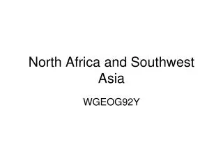
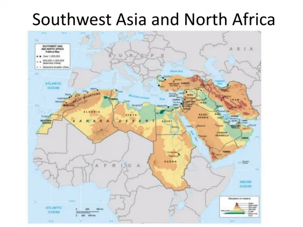
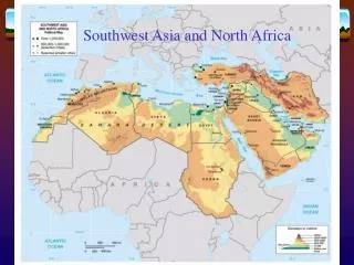
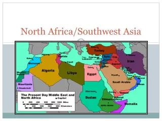
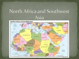
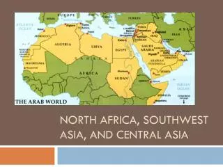
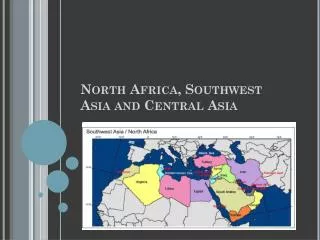
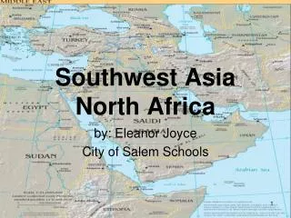
Southwest Asia and North Africa. Physical Geography. The Land. The Region covers 5.5 million sq miles, more than 10% of earth’s total land surface Region has served as the crossroads of Europe, Africa, and Asia for centuries b/c of location – southern and eastern coasts of Mediterranean

E N D
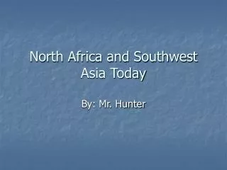
Southwest Asia and North Africa Physical Geography
The Land • The Region covers 5.5 million sq miles, more than 10% of earth’s total land surface • Region has served as the crossroads of Europe, Africa, and Asia for centuries b/c of location – southern and eastern coasts of Mediterranean • Largest peninsula – Arabian, 2nd - Sinai
The Land • The Dead Sea is a landlocked, saltwater lake. • Shores 1312 feet below sea level • Lowest place on the earth • Saltiest body of water on the Earth. • http://www.deadsea.co.il/index.php?page_id=79
Mountains • Along the west coast of the Arabian Peninsula, mountains are divided into the Hejaz and Asir Mountains • Zagros and Tauras mountains are along a belt of frequent and often serve seismic activity. • Iran experiences most earthquakes
Mountains • Along the coasts of Morocco and Algeria’s lies Africa’s longest mountains • The Atlas Mountains • How can there be Snow in Africa?
Rivers • Provide water and deposit rich soil in dry regions • Nile River – flows 4160 miles, longest river in world! Fertile land site of one earliest civilizations (Egypt). The River Valley -3% of land area & home of 90% of people. • Yearly floods brings in rich soil. Deposits form a delta.
Rivers • Tigris and Euphrates – Both rivers originate in the mountains of eastern Turkey and flow through Syria and Iraq. • Euphrates is longer. • Streams aren’t permanent – runoff from rain creates – wadis – streambeds that are dry except during heavy rain.
Natural Resources and Climate IN CLASS ASSIGNMENT: Use Chapter 21 to research the natural resources, climate and vegetation of South West Asia. You may work in pairs.