Download
1 / 10
110 likes | 284 Vues
Maps/Latitude/Longitude Marine Science. Science of mapmaking- Cartography. Latitude versus Longitude Which is which?. Latitude -Parallel to Equator North OR South of Equator Equator= 0°. Latitude math conversion. If I walk from 10 N to 11 N 1 degree =111 km= 71 miles Example:

E N D
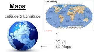
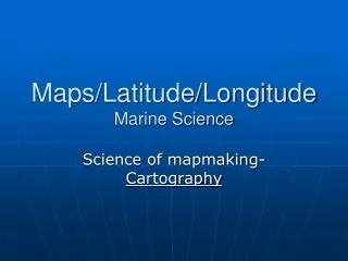
Maps/Latitude/LongitudeMarine Science Science of mapmaking- Cartography
Latitude versus LongitudeWhich is which? • Latitude-Parallel to Equator • North OR South of Equator • Equator= 0°
Latitude math conversion • If I walk from 10 N to 11 N • 1 degree =111 km= 71 miles • Example: • Jacksonville, Fl= 30N & 81W • Miami, Fl= 25N & 80W • How many miles apart are Jax & Miami? • 1 degree= 71 miles • There is a 5 degree difference (30 N to 25 N) • 5 degrees= ~355 miles away
Lines of Longitude (Meridians) • Semicircles- North pole to South pole • East or West of Prime Meridian • Prime Meridian= 0° • P.M.- runs from North pole, through Greenwich, England, to South pole.
■Opposite side of Prime Meridian is also 180° known as the INTERNATIONAL DATE LINE At the I.D.L. this is where East & West Longitude lines meet Longitude
How to find a coordinate • What is the coordinate of smiley face? • Latitude= • ~45°N of equator • Longitude= • ~87°W of prime meridian • (Latitude, Longitude) • (45 N, 87 W)
How to find a coordinate • Smiley Face City (43 N, 73 W)
Topex/Poseidon Satellite • maps the ocean floor by SATELLITE • Data from TOPEX/Poseidon was used to produce a computer model of 16 days of tide height. Blue indicates below sea level; red indicates above sea level.
Global Positioning System • determine their exact position on earth. • Uses Latitude & Longitude • Tells the user: speed, direction, elevation. • Uses: Hikers, airplanes, boats, track wildlife
Sea Beam • maps the ocean floor by SHIP • Uses SONAR • uses returning echo to map • Used by: • fishing fleets • oceanographers • deep-sea drilling operations