Download
1 / 17
170 likes | 186 Vues
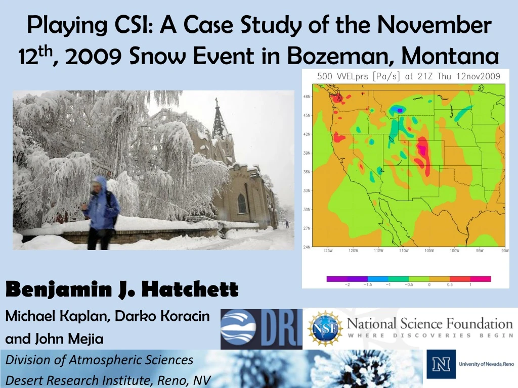
Playing CSI: A Case Study of the November 12 th , 2009 Snow Event in Bozeman, Montana. Benjamin J. Hatchett Michael Kaplan, Darko Koracin and John Mejia Division of Atmospheric Sciences Desert Research Institute, Reno, NV. Overview. Why? Relevance to Avalanche Forecasting

E N D
Playing CSI: A Case Study of the November 12th, 2009 Snow Event in Bozeman, Montana Benjamin J. Hatchett Michael Kaplan, Darko Koracin and John Mejia Division of Atmospheric Sciences Desert Research Institute, Reno, NV
Overview • Why? • Relevance to Avalanche Forecasting • Atmospheric Dynamics 101 • Conditions Preceding Event • Conditions During Event • Conceptual Model of Extreme Convective Snowfall • Take Home Techniques • Conclusions and Future Work
Why Play CSI? • Snowfall severely underforecasted by NWS. • 10cm predicted versus 50cm actual • Events common in western NA during cold season • Avalanches and burials were reported post-event • Convective snow VERY hard to diagnose • Significant role in mountain precipitation events (e.g. Keyser and Johnson 1984, Ralph et al. 2004, Underwood et al. 2009) Area of Explosive Convection! MODIS Terra Image 12 November 2009. U.Wisc. CIMMS
Relevance to Avalanche Forecasting • Avalanche Generation Factors: • Rapid Loading: >7.5cm/hr (typical duration 2-8hrs) • Large Total Accumulations: >20cm (Johnson and Petrescu 2005) • Spatially Variable Accumulation (Hoenisch 2008) • Independent of Terrain (Novak et al. 2004) • Cloud microphysicsCrystal growth, riming (LaChapelle 1969, Wallace and Hobbs 2006) • Avalanche Persistence Factors: • Establishment of thin snowpack due to terrain independence depth hoar • Post cold frontal conditions of clear and coldsurface hoar Ross Pass windslab. Courtesy GNFAC
Convection • Convection is the flow of heat from warm region to cooler region • Tendency: atmospheric convection = supercells (mesoscale <200km). • Reality: convection plays important role in many synoptic scale (>200km) events. ‘Classic’ Supercell Synoptic Scale Roll Clouds from Event (MODIS)
Atmospheric Dynamics Part I: Stability • Stability of air refers to where an air parcel goes if displaced (Up, unstable; Down, stable) • Convection requires unstable air! • Stability of airmass defined by lapse rate Γ=-dT/dz where T is temperature and z is height Parcel UNstable Conditions Stable Conditions A B A B O O Z Z Lift from O to height of A and B along Γd. T(A)<T(B), returns to O. Repeat lift along Γd. T(A)>T(B), parcel goes UP! Γenv Γd Γenv Γd T(A) T(B) T T(A) T(B) T
Atmospheric Dynamics Part II: Balanced and Unbalanced Jets Balanced Jet Streak, X-Y space Balanced Jet Streak, 3D Balanced Streak: Energy conversions decelerate flow. Unbalanced: Exiting parcels accelerate! Vtot=Vg+Vag Vag=Isallobaric + Inertial Advective UPPER LEVEL JET Inertial Advective Balanced Unbalanced Isallobaric
Study Area: Bozeman, Montana • Valley Elevation +/- 1500m • Mountain Elevations +/- 3000m • Complex Terrain!
Analysis Dataset • North American Regional Reanalysis (Mesinger et al. 2006) • NOAA National Operational Model Archive and Distribution System (NOMADS). • 36km grid, 27 pressure levels • Period: 00Z 12 November to 12Z 13 November 2009 3hr intervals. • All relevant dynamic and thermodynamic fields • 850mb to 150mb
Conditions Preceeding Event: 12Z 12 November 2009 • Cold, positively tilted trough in PacNW • Right Exit Region (sinking) of 35m/s Polar Jet (PJ) • Roaring 60m/s Subtropical Jet (STJ) approaches 300mb Heights 500mb Winds/Heights 150mb Winds/Heights
The Event: 18Z 12 November 2009 • Moist, unstable layer (red) • Thermal Wind Imbalance, weak backing despite cold air advection (blue) • Strong momentum from PJ/STJ coupling (green) • SW Montana in Left Exit Region of coupled, unbalanced jet • Upward Vertical Motion in presence of cold air!
Convective Indicators During Event • Negative Lifted Index Unstable air • Large % Convective Clouds • Convective Available Potential Energy (CAPE) present
Spatial Variability of Snowfall • Scales of accumulation • Banded nature of storm • Patchy nature of accumulation along band • Role of Terrain << Synoptic Dynamics • Event provided 1/3 total snowfall to date Persistent valley inversion set up after event. Depth hoar observed in following weeks. Image courtesy of NWS Billings
Extreme Convective Snowfall: A Recipe • Primary Ingredients: • Instability: Cold, unstable air brought in by Polar Jet • Lift: Momentum-rich Subtropical Jet (STJ), Left Exit Region • Secondary Ingredients: • Upslope Flow: Terrain • Convective Heating • Moisture: 70-90% RH Preparation: Overlay STJ with PJ. Advect cold air to divergent region. Force cold air to rise. Release instability with violent convective precipitation!
Take Home Messages and Techniques For the Avalanche Community • Satellite imageryBanding • Jet interactions • Never underestimate Subtropical Jet (look at 175-250mb)! • Soundings can provide insights (Advection, Instability, Momentum) • Re: Spatial Variability • Persistent weak layer establishment • Distribution of accumulation • Utilize forecast fields: Lifted Index, CAPE, PW http://www.rap.ucar.edu/weather/ Satellite, Upper Air, Forecasts, Surface Data
Conclusions and Future Work • Forecasting events a challenge! • Phasing of synoptic features (STJ, GPJ, CP) crucial! • Unbalanced and unstable ascent • Insights into mountain precipitation regimes • High resolution mesoscale modeling • 4 domains: 54km, 18km, 6km, 2km • Weather Research and Forecasting Model (WRF) V3.2. • Derive radar, unbalanced flow parameters, verify jet interactions • Case studies of avalanche events postceding convective snowfall events
References and Acknowledgements Support comes from National Science Foundation Cooperative Agreement EPS-0814372. References: Hoenisch (2008) NWS Tech. Attach. 0808 Johnson and Petrescu (2005) West. Reg. Tech. Att. No.5-14 Keyser and Johnson (1984) Mon. Wea. Rev., 112, 1709-1724 LaChapelle (1969) Field Guide to Snow Crystals, 101pp. Mesinger et al. (2006)Bull. Am. Met. Soc. 87, 343-360. Novak et al. (2004) Wea. Forecast. 19, 993-1010 Ralph et al. (2004): Mon. Wea. Rev. 132, 1721-1745 Underwood et al. (2009): J. Hydromet. 10, 1309-1326 Wallace and Hobbs (2006) Atmospheric Science, 483pp.


