Download

1 / 117
1.21k likes | 1.98k Vues
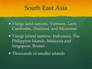
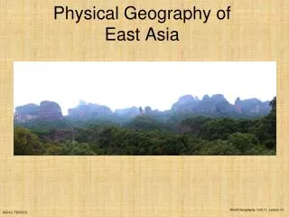
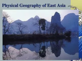
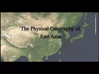
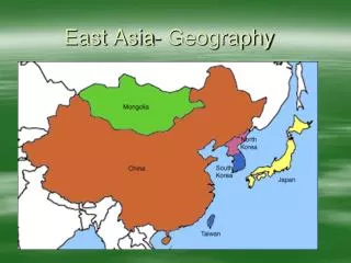
PHYSICAL GEOGRAPHY OF EAST AND SOUTH EAST ASIA. Asia. EAST ASIA. East Asia. LAND AND SEA OF EAST ASIA. THE LAND. China = makes up 80% of the land area of East Asia. Mongolia, North Korea, South Korea, Japan, and Taiwan make up 20% of the land mass of East Asia.

E N D
PHYSICAL GEOGRAPHY OF EAST AND SOUTH EAST ASIA
EAST ASIA
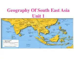
LAND AND SEA OF EAST ASIA
THE LAND • China = makes up 80% of the land area of East Asia. • Mongolia, North Korea, South Korea, Japan, and Taiwan make up 20% of the land mass of East Asia
PENINSULAS, ISLANDS, AND SEAS • South China Sea • Yellow Sea • Sea of Japan
PENINSULAS, ISLANDS, AND SEAS • Korean Peninsula • Japan is an archipelago = an island chain.
Ring of Fire • Plate movements cause these: • Earthquakes • Tsunamis • Volcanic Eruptions
WARM UP
What country has the largest land mass in East Asia? A. India B. Mongolia C. Japan D. China Question
MOUNTAINS, HIGHLANDS, AND LOWLANDS OF EAST ASIA
East Asian Mountains • Himalayan's = are the worlds highest mountains and separate china from South Asia • Pamir Mountains
China’s Plateaus, Basins, and Deserts • Plateau of Tibet • Tarim Basin • Taklimakan Desert • Gobi Desert
RIVERS AND NATURAL RESOURCES OF EAST ASIA
China’s Rivers • Yellow River = the river is yellow because of loses = fine rich layer of topsoil. • Yangtze River = China’s and East Asia’s longest river • Xi (West) River = southern China’s most important river system.
Yangtze River Xi (West) River China’s Rivers
East Asian Rivers Han River = flows in South Korea through the capitol Seoul. Amnok River = flows in North Korea
Han River Amnok River East Asian Rivers
Arable land = land suitable for framing • China 10% • Korea 25% • Japan 1% • Taiwan 25% • Mongolia 1%
CLIMATE OF EAST ASIA
CLIMATES OF EAST ASIA • Mid-Latitude • Desert • Steppe • Highland • Tropical Rain Forest Climates
Southern China Japan Koreas Taiwan Mount Fuji viewed from Hakone, Japan Mid-Latitude
Mid-Latitude Vegetation • Needle Leaved Evergreens • Broad-Leaved Deciduous Trees • Broad-Leaved Evergreens
Mid-Latitude Important Plants • Bamboo
Mid-Latitude Important Plants • Mulberry Trees
Mid-Latitude Important Plants • Tea Bushes
Tropical Rain Forest Climates • Hainan = off China’s East coast is a tropical rain forest.
Weather Patterns • Monsoons = are movement of prevailing winds that bring seasonal weather patterns.
Weather Patterns • Japan Current = or Kuroshio is a warm water current flowing northward along the southern and southeastern coasts of Japanese Islands, add moisture to the winter monsoons.
Weather Patterns • Typhoons = interaction of wind and ocean currents give rise to violent storms.
1.Japan is formed by a(n) __________, or island chain. a. Peninsula b. Gulf c. Archipelago d. Island