Download
1 / 12
160 likes | 575 Vues
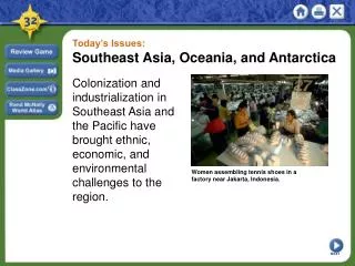
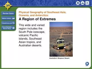
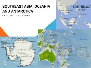
Southeast Asia, Oceania and antarctica. A region of extremes. SouthEast Asia: Mainland and islands. Mainland Southeast Asia Indochinese Peninsula – south of China (rectangular shape) Malay Peninsula – narrow strip of land, 700 miles long (serves as a bridge between mainland and islands)

E N D
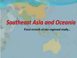
Southeast Asia, Oceania and antarctica A region of extremes
SouthEast Asia: Mainland and islands • Mainland Southeast Asia • Indochinese Peninsula – south of China (rectangular shape) • Malay Peninsula – narrow strip of land, 700 miles long (serves as a bridge between mainland and islands) • Islands of Southeast Asia • Archipelago – set of closely grouped islands • Philippines and islands of Indonesia are part of Malay peninsula
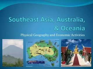
Southeast Asia:Mainland and islands • Mountains & Volcanoes • Mainland - several mountain ranges • Islands – most mountains are of volcanic origin • Rivers & Coastlines • Mainland – several large rivers • Ex. Mekong River – begins in China • Resources • Fertile soil – valuable resource • petroleum, tin, and gems
Australia • New Zealand • Pacific Islands
Lands of the Pacific and antarctica • More than 20,000 islands • Oceania – group of pacific islands (the Philippines, Indonesia, and other islands near the mainland are not considered part of Oceania because their people have cultural ties to Asia) • Oceania’s Many Islands • Number of islands constantly changes • High Islands – created by volcanoes • Low Islands – made of coral reefs • New Zealand • North Island • Fertile farmland, forest, seaports, many river • South Island • 300 mile long mountain range – Southern Alps
Lands of the Pacific and Antartica Australia Smallest continent/also the flattest Very few rivers Rich in minerals (leading supplier of bauxite, diamonds, opals, lead, and coral reef) Great Barrier Reef – 1,250 mile chain of more than 2,500 reefs and islands Icy Antarctica 5th largest continent Centered on South Pole
Climate and vegetation • Every climate zone is represented • Southeast Asia • Tropical wet climates are typical of the islands and coastal parts of SE Asia • One of the greatest diversities of vegetation of any region (tree species) • Oceania • Tropical Wet and Dry • Australia and New Zealand • Moderate climates • 1/3 of Australia is desert – The Outback • Antarctica • Coldest, driest continent • Icecap climate • “The White Desert” – little precipitation, dry air, and its icy temperatures do not allow it to hold moisture
Human-Environment Interaction • Traveling the Pacific • Pacific Islanders navigated the ocean by using charts of sticks and shells and the stars. • Voyaging Canoes – developed by Pacific Islanders to sail the vast ocean. These canoes had double hulls that made the craft stable and gave it the ability to carry lots of weight. • Outrigger canoe – used on island lagoons
Invasion of the Rabbits • 1859 – Thomas Austin released 24 rabbits into Australia so he could hunt them • 1900 – Australia had more than a billion rabbits • Wiped out native plants, destroyed crops, ruined pastures, and stripped areas of vegetation
Nuclear Testing • 1940s and 1950s, the US conducted 66 nuclear tests in the Pacific • In the Marshall Islands of the central Pacific lies Bikini Atoll • Atoll – ring-like coral island or string of small islands surrounding a lagoon • Bikini Atoll – site of the U.S. atomic-weapons tests. • US chose Bikini for testing because it lay far away from regular shipping and air travel routes • 1946 – the government moved the 167 Bikini Islanders to another atoll and conducted two atomic-weapons tests • 1951-1958 – US Government held about 60 more tests there • Bravo – code name for a hydrogen bomb that vaporized several islands • and contaminated the entire area with high levels of radiation