Download
1 / 13
130 likes | 258 Vues
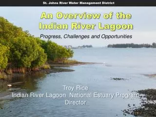
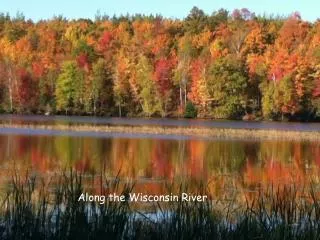
Chasing a Spodic Horizon along the St. Johns River, Florida. Jason O’Donoughue SOS 5716C 12 April, 2010. Lake George. http://sjr.state.fl.us/springs/marion/images/silver_glen_aerial.jpg. Putnam. Marion. Volusia. Lake. http://sjr.state.fl.us/springs/marion/images/juniper_pool.jpg.

E N D
Chasing a Spodic Horizon along the St. Johns River, Florida Jason O’Donoughue SOS 5716C 12 April, 2010
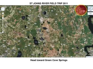
Lake George http://sjr.state.fl.us/springs/marion/images/silver_glen_aerial.jpg Putnam Marion Volusia Lake http://sjr.state.fl.us/springs/marion/images/juniper_pool.jpg
Immokalee sand: deep, poorly to very poorly drained spodosols, with a Bh horizon at ~90 cmbs Pomello sand: very deep, moderately well to somewhat poorly drained spodosols, with a Bh horizon at ~105 cmbs St. Lucie sand: very deep, excessively drained, very rapidly permeable entisols on dune-like ridges; A – C pedon
“Problems arising from fixed-depth assessment of deeply weathered sandy soils”* Immokalee Pomello St. Lucie A A A C E E Bh Bh *W.G. Harris, S.H. Crownover, J. Hinchee, 2005, Geoderma 126:161-165
St. Lucie Sand Ap Ap: 0-16 cm, 10YR 6/1 sand, loose, clear boundary E1: 16-78 cm, 10YR 8/2, sand, loose, clear boundary E2: 78-128 cm, 10YR 8/1, sand, very friable, abrupt boundary Bh1: 128-134 cm, 7.5YR 2.5/2, sand, friable, clear boundary Bh2: 134-142 cm, 7.5YR 4/4, sand, very friable, gradual boundary E1’: 142-170 cm, 10YR 4/4, sand, very friable, diffuse boundary E2’: 170-210 cm, 10YR 4/3, sand, very friable, gradual boundary E3: 210-270+ cm, 10YR 3/6, sand, very friable, saturated E1 E2 Bh1 Bh2 E1’ E2’ E3
Ap E2’ E2 Bh1 E1 Bh2 E3 E1’
St. Lucie Sand Ap Infiltration Rate: High Hydraulic Conductivity: High Available Water: Very low SHWT = 100 to 150 cm Limitations Dwellings with basement – Slight Septic tank absorption field – Moderate Local roads and streets – Slight Site Characteristics Upland position Marine parent material Nearly level slope (0-2%) Very slow surface runoff Very low erosion potential Classification: Ochric Epipedon Albic Horizon Spodic Horizon Spodosol! E1 E2 Bh1 Bh2 E1’ E2’ E3
Immokalee Sand Oi Oi: 0-10 cm, 5YR 5/2, sand, loose, abrupt boundary Ap1: 10-18 cm, 10YR 4/1, sand, very friable, clear boundary Ap2: 18-26 cm, 10YR 5/1, sand, very friable, clear boundary E1: 26-50 cm, 10YR 6/2, sand, very friable, clear boundary. Few redox depletions. E2: 50-86 cm, 10YR 5/2, sand, very friable, clear boundary, saturated E3: 86-130+ cm, 10YR 5/3, sand, very friable, saturated Ap1 Ap2 E1 E2 E3
Immokalee Sand Oi Infiltration Rate: High Hydraulic Conductivity: High Available Water: Very low SHWT = 25 to <50 cm Limitations Dwellings with basement – Severe Septic tank absorption field – Severe Local roads and streets – Moderate Site Characteristics Upland position Marine parent material Nearly level slope (0-2%) Very slow surface runoff Very low erosion potential Classification: Ochric Epipedon Albic Horizon Entisol! Ap1 Ap2 E1 E2 E3
Concluding thoughts… • Soil mapped as St. Lucie sand (Entisol) contained a Bh at ~134 cmbs and was classified as a Spodosol • Spodic horizon not encountered in soil mapped as Immokalee sand (Spodosol), but only investigated to 130 cmbs • Illustrates 2 points: • scale of soil maps – boundaries do not always map precisely on the ground • problem with fixed-depth assessment – may be fine for classification, but can’t be used for pedological assessment • Genesis of St. Lucie sand – any thoughts? • Questions?