Download
1 / 27
270 likes | 446 Vues
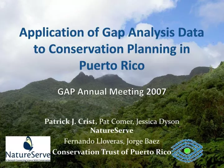
Application of Gap Analysis Data to Conservation Planning in Puerto Rico GAP Annual Meeting 2007. Patrick J. Crist, Pat Comer, Jessica Dyson NatureServe Fernando Lloveras, Jorge Baez Conservation Trust of Puerto Rico. Puerto Rico Biodiversity Conservation Initiative Goal & Objectives.

E N D
Application of Gap Analysis Data to Conservation Planning in Puerto Rico GAP Annual Meeting 2007 Patrick J. Crist, Pat Comer, Jessica Dyson NatureServe Fernando Lloveras, Jorge Baez Conservation Trust of Puerto Rico
Puerto Rico Biodiversity Conservation Initiative Goal & Objectives Goal: develop consensus conservation priorities to influence development of new national land use plan and identify acquisition needs for partners • Integrate existing data into common format and system • Identify and fill key data gaps—integrate GAP data • Develop integrated conservation priorities across terrestrial, freshwater, and marine ecosystems • Provide data, tools, and training to Conservation Trust and partners
Adaptive Conservation Methodology Framework Assessment Effects Priority-setting Implementation Develop Strategies Monitor Capacity-building Policy-based Practice-based Place-based Implement
Basic Process • Characterize/map elements of conservation interest (ecosystems, biological communities, species) • Define element conservation requirements (minimum size, quantitative goals) • Define response of elements to various types of land use, management, disturbance, etc. • Integrate data layers describing scenarios of land use and policy mechanisms behind land uses • Conduct an evaluation of a scenario’s ability to meet conservation goals (gap analysis) • Generate conservation strategies to meet goals
Planning at Multiple Scales • Caribbean-wide habitat priorities • (e.g., marine mammals & reptiles, fish assemblages, migratory birds) • Island-wide land/water use prioritization (incentives, regulation, and land acquisition) • Watershed land use planning • (integrating freshwater and coastal marine issues with needs of local land-use planning) • Local ‘Site’ management planning, and implementation, and monitoring
A Conservation Planning Methodology and Decision Support System
What is NatureServe Vista? • An extension to ESRI’s ArcMap 9 with spatial analyst • Integrates conservation information, management practices, and land use plans into a conservation support framework • Will help you to create conservation, land use, or resource management plans specific to your area, resources, and values and implement them • Allows you to dynamically monitor progress toward goals, identify emerging conflicts and opportunities, and create mitigation plans
Vista element input: Ecosystems GAP veg classes crosswalked to NatureServe standard ecological systems classification
Characterizing conditionGAP Input: LU/LC GAP general classes extracted, utilized in landscape condition modeling and characterizing baseline land use scenario
Vista Element Conservation Value Layer Map and specify conservation requirements for conservation elements including a model of current and expected condition
GAP Species Model Input Previous element distribution (Monophyllusredmanii) from heritage data
Defining Baseline Scenario • Use Vista to combine: • Land use & conservation use • Management practices • Infrastructure • Misc disturbances • Policy mechanisms
GAP Inputs: Land Use & Stewardship GAP stewardship classes identify conservation land use types and policies
Vista Land Use Type Scenario Characterize integrated ecosystem land use/management/disturbance scenarios @ 100 ha
Vista Policy Type Scenario Policy mechanisms characterized using GAP stewardship, most is currently unknown & assumed at risk
Land-use Type Policy Type Vista Scenario Evaluation Process Element min size & Conservation Goals Evaluation Maps Elements GIS Intersect & Table Lookup Evaluation Report Scenario Outputs Element Response To Land Use/Activity
Baseline Scenario Evaluation Compatibility Conflict map. Tan areas support element goal achievement, red areas have incompatible land use with elements who’s goals have not been met. Lack of current land use conflict coincides with assumption that current use is consistent with current biodiversity distribution.
Baseline Scenario Evaluation Policy Conflict map. Tan areas support element goal achievement, red areas have compatible land use but unreliable policies overlapping elements who’s goals have not been met. The greater amount of conflict in this map indicates the uncertain future depending on how future land use is allocated.
Element Evaluation Evaluation result for Caribbean Emergent Herbaceous Estuary Type
Vista Site Explorer Characterizing Sites Example: Good compatibility of current land use but lack of goal contribution from unreliable conservation policy indicating threat/risk for future
Conservation Planning: Marxan Optimization Total: 26% spatial analysis units 30% terrestrial/freshwater 20% coastal marine
Next Steps • Engage local working groups for elements and strategies • Review land cover types and predicted spp distributions for appropriate treatment in a conservation process • Add an “occurrence” concept to ecological systems (define separation distance to form occurrences from patches) to be able to make use of minimum occurrence size concepts in Vista • Integrate better information about confidence and condition • Create a plan for surveys of identified conservation priority areas and for routine monitoring
Wrap up • Acknowledgements: IITF Puerto Rico GAP Project & Patrimonio (DRNA) for data; Conservation Trust for funding • More information: • Natureserve.org/vista: read about, download Vista • Ebmtools.org: search for dozens of tools for ecosystem-based management • Patrick_crist@natureserve.org for application information