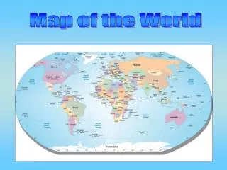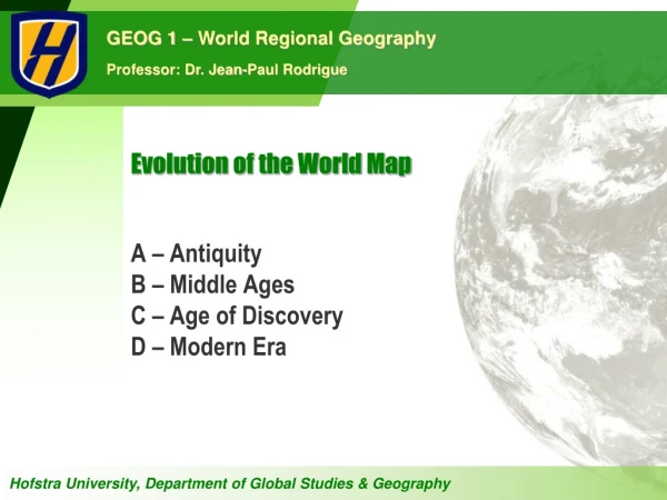
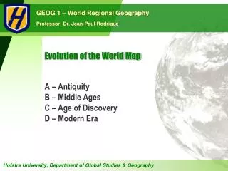
Evolution of the World Map
Explore the fascinating transformation of world maps through history, starting from antiquity with pioneers like Herodotus and Eratosthenes, who laid the foundations of geography, to the Middle Ages when cartography faced decline and religious influence. Witness the Age of Discovery, marked by groundbreaking maritime explorations and the creation of accurate maps, leading to the Modern Era's comprehensive, technology-driven global representations. Discover how geographical understanding shaped societies and economies across epochs.

Evolution of the World Map
E N D
Presentation Transcript
Evolution of the World Map A – Antiquity B – Middle Ages C – Age of Discovery D – Modern Era
Antiquity • Herodotus (circa 450 BC) • Inspired by Pythagoras (530 BC) and his geometry. • Father of geography. • Basic physical and human geography. • Exploration and travel instead of geometry. • Coined the terms Europe, Asia and Africa (Libya). Accuracy Trade route Distance Familiar Accounts Legends “Terra incognita”
Antiquity • Aristotle (circa 350 BC) • Considered physical elements such as the temperature and winds as factors of the human habitat. • Division of the world in 3 climatic zones. • Relationships between the environment (temperature) and human habitat. • One of the first physical geographer. • Judged impossible to cross to torrid equatorial zone and reach the antipodes. Frigid Temperate Torrid
Antiquity • Eratosthenes (circa 250 BC) • Formally assumed the earth was round. • Calculated the circumference of the earth. • 40,572 km versus the exact figure of 40,091 km. • Developed the concepts of parallel and meridian. • Consequently introduced the concept of geographical location. • Created modern cartography (cartographic plane).
Antiquity • Ptolemy (circa 150 AD) • Refined the coordinate system. • Inventory of population and resources. • Describing the world. • 8,000 entries. • Relationships between the physical and human elements. • Created map projections. • His map would remain the most accurate until the age of discovery.
Middle Ages • Period of decline • Cartographic and regional approach was lost in Europe: • Representation of the world was “Christianized”. • Orthodoxy replaced objective observation and analysis. • “T and O” Maps (Orbis Terrae): • T is the Mediterranean (+ Nile and Black Sea). • O is the surrounding ocean. • Greek and Roman knowledge kept by the Byzantine Empire and by the Arabs. T-O map from the Etymologiae of Isidorus, 12th Century
Age of Discovery • Exploration and innovation • The 15th and 16th centuries were characterized by numerous maritime explorations. • A commercial expansion of European nations. • Several technical innovations: • The compass, more precise maps. • Larger ships (they passed from 200 to 600 tons during the sixteenth century), better ship structures and the rudder. • Insure a safe, fast and therefore profitable maritime navigation. • Creation of the first accurate world maps.
Modern Era • A complete world map • Early 20th century. • Complete and accurate view of the world. • Coordinate systems. • National inventories of resources. • Widely available atlases. • Information technologies • Use of remote sensing (aerial photographs and remote sensing). • Digital maps. • Mass diffusion through online accessibility.