

SlideServe
Menu
Préférences
© SlideServe · v2026

Rivers 5

ling avatar
8 diapositives · 262 Views · Aug 13, 2014

Rivers 5 . Map Skills. Learning Objectives. I can describe what contour lines show on a map I can explain how to use 4 and 6 figure grid references I can use map skills to suggest reasons for different shaped hydrographs. Bellwork (Front of Books).
Rivers 5 - slide 1
01 / 8Rivers 5
1 / 17

Télécharger la présentation

Rivers 5
Une image / un lien ci-dessous est fourni (tel quel) pour télécharger la présentation

Politique de téléchargement : le contenu du site vous est fourni TEL QUEL pour votre information et votre usage personnel ; il ne peut être vendu, concédé sous licence ni partagé sur d’autres sites sans l’accord de son auteur.Le contenu vous est fourni TEL QUEL, pour votre information et votre usage personnel uniquement. Téléchargez la présentation en cliquant sur ce lien. Lors du téléchargement, si vous ne parvenez pas à télécharger une présentation, l’éditeur a peut-être supprimé le fichier de son serveur.Pendant le téléchargement, si vous ne parvenez pas à obtenir une présentation, le fichier a peut-être été supprimé par l’éditeur.

F I N

Plus de contenu associé

Transcription de la présentation
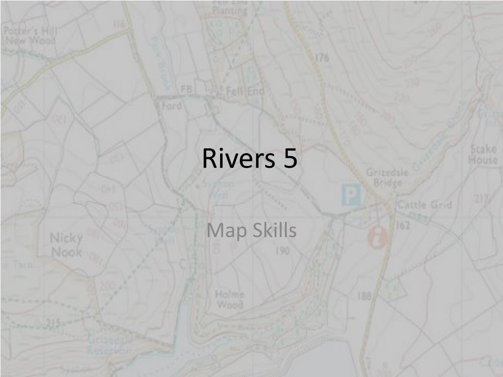
  1. Rivers 5 Map Skills

  2. Learning Objectives • I can describe what contour lines show on a map • I can explain how to use 4 and 6 figure grid references • I can use map skills to suggest reasons for different shaped hydrographs

  3. Bellwork (Front of Books) 4 figure grid references are often called __________. We use them in Geography to find a _________ on a map. It is important to remember to look for the __________ left hand corner of the square. We should always work across then ___. Sometimes we say go along the ___________ and up the _________. stairs co-ordinates up place corridor bottom

  4. 6 Figure Grid References • Activities in Foundations. Page 135 (Use page 134 to help if you’re not sure)

  5. Contour Lines http://prezi.com/5nq5l6_i1mk0/contour-lines-gcse/

  6. Contour Lines • Activities in Foundations page 139 (Use 138 to help if you’re not sure)

  7. Contour lines help to illustrate the__________ of the land on _________. If the land is steeper, this means that there is less time for water to __________ into the soil and therefore the lag time of a hydrograph is__________.If the land is flatter, this means that there is more time for water to soak into the soil and therefore the lag time of a hydrograph is__________. OS maps also indicate how __________ an area is. The more __________ rock, the more ____________________, thereby reducing the lag time. urbanised reduced maps surface run-off infiltrate relief increased permeable

  8. Map Plenary (Uses OS map of Leeds- 289) • Find the name of the built up (urbanised) area in 4521 • Find the name of the river with the U-shaped valley in 3346 • What is the name of the Beck with a steep sided (V-shaped) valley in 4038? • What is the 6 figure grid reference for Knaresborough Golf Club? • What is the 6 figure grid reference for Lotherton Hall (North East of Garforth)?