Download
1 / 15
150 likes | 295 Vues
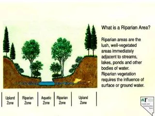
Riparian Area and Upper Watershed Condition. Relationship to E-Flows. Riparian Areas. Influences groundwater/surface water relationships Provides filters to improve water quality Provides habitat for diverse flora and fauna. Relationship to E-Flows. Uplands.

E N D
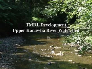
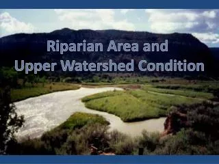
Riparian Area and Upper Watershed Condition
Relationship to E-Flows Riparian Areas Influences groundwater/surface water relationships Provides filters to improve water quality Provides habitat for diverse flora and fauna
Relationship to E-Flows Uplands • Source of highest snowpack and rainfall • Stand density conditions may influence supply • Complicated ground water/surface water interactions • Land management influences water quality
Healthy Vegetative Communities E-flows • Understand • Assess • Treat • Monitor
Handbook of Wetland Vegetation Communities of New Mexico Volume I: Classification and Community Descriptions Esteban Muldavin, Paula Durkin, Mike Bradley, Mary Stuever and Patricia Mehlhop New Mexico Natural Heritage Program, Biology Department University of New Mexico, Albuquerque, New Mexico 87131 2000 ________________________________________________________________________ • Classification of wetland plant community types (135) • Forested wetlands(61) • Scrub-shrub wetlands (38) • Emergent or herbaceous wetlands (36) • Descriptions include: • Geographic locations • Species composition • Hydrologic and soil characteristics • Ecological Dynamics • Conservation Status Photo by Esteban Muldavin
Handbook of Vegetation Communities of New Mexico Volume II: REFERENCE SITES insert map of good and poor reference sites Photo by Mike Bradley
State Assessment and Strategy Large landscape perspective Wall to wall, all jurisdictions approach Utilizes existing data Strengthen collaborative relationships Leverage federal, state and private money
Eight GIS Layers • Forest Health • Fragmentation • Development Potential (Risk) • Water Quality & Supply • Fish & Wildlife (Biodiversity) • Wildfire Risk • Economic Potential (Development) • Green Infrastructure Water Quality and Supply
Model Content • Models developed using multi-agency technical teams • Gathered existing databases • Identified data gaps • Best judgment/professional knowledge on how to use
Water Quality and Supply 2. NMED Priority Sheds 5. % Irr. Cropland 8. Aquifer Sensitivity The intent of the water quality & supply data layer is to emphasize landscapes that impact long-term watershed function in supplying sustainable public water supplies 3. 305b Watersheds 6. Water Quality Risks 9. % Impervious Surface 1. Public Drinking Supply 4. Specific Impaired Sheds 7. Aquifer Recharge 10. Erosion Risk
Water Quality & Supply Water Quality & Supply Priority Low – Low risk and low value Low/Medium Medium Medium/High High - High risk and high value
Fish & Wildlife Habitat (Biodiversity) Wildlife Occurrence The intent of this layer is to identify areas that provide habitat for plants and animals, including, but not limited to, threatened and endangered species Fish & Wildlife Priority Low - Least important habitat Low/Medium Medium Rare Plant Occurrence Medium/High High - Most important habitat T&E Potential Habitat TNC Fish Atlas TNC Cons Areas CWCS Key Areas WGA Corridors
Strategy and Response Plan Insert public benefit of forests map