Download
1 / 25
250 likes | 483 Vues
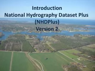
Interagency Development of the National Watershed Boundary Database (WBD). NWQMC 2002 May 20, 2002. BLM. ACWI. NOAA. CA. USGS. FGDC. NSGIC. USFS. Subcommittee on Spatial Water Data (FACA). FEMA. TVA. COE. NRCS. TX. AK. EPA. ASCE. NWS. NED. NHD. WBD. EDNA .

E N D
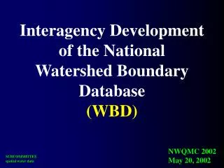
Interagency Development of the National Watershed Boundary Database(WBD) NWQMC 2002 May 20, 2002
BLM ACWI NOAA CA USGS FGDC NSGIC USFS Subcommittee on Spatial Water Data (FACA) FEMA TVA COE NRCS TX AK EPA ASCE NWS
NED NHD WBD EDNA Integration of key Spatial Water Datasets “surface water geospatial framework”
NHD National Hydrography Dataset
NED National Elevation Dataset
EDNA[alias NED-H] 2002 INITIAL PHASE COMPLETE FOR CONTIGUOUS U.S.!! STAGE 1
Hydrologic Units, 1973 2-digit= 1st level = 22 regions 4-digit= 2nd level = 222 subregions 6-digit= 3rd level = 789 accounting 8-digit= 4th level = 2223 cataloging
Watershed Boundaries Dataset(WBD): Why is it needed? • 8-digit Cataloging Units too large • uniform, widely accepted boundaries • Need a standard nomenclature, ID’s, names • Speed up basin/drainage area delineation NRCS, early 1990’s
Hydrologic Units 2-digit= 1st level = 22 regions 4-digit= 2nd level = 222 subregions 6-digit= 3rd level = 789 accounting 8-digit= 4th level = 2223 cataloging new! 10-digit= 5th level = ~22,000 watersheds 12-digit= 6th level = ~160,000 subwatersheds
CO KS NM OK TX
GOAL:Initial “draft” completed December 2002 Project Status
2002 23/50
Review . . . . historically: NRCS certification currently: Subcommittee review “provisional certification” in consideration of coastal HUCs
Guidelines . . . . [Things to think about in delineating the next logical level down:] • one unified federal “guideline”, accepted by all agencies • Water flows to/through a single point • Acreage • 5th level, 40,000-250,000 acres • 6th level, 10,000-40,000 acres • Relatively equal in size. • ~5-8 subdivisions of previous level (nested levels) • Persistent, modification of existing FIPS/ANSI standard to encompass “watersheds” & “subwatersheds”
Example of Mapping Criteria RIDGE LINES DRAIN POINT
Unified guidelines: • names • region,subregion,basin,subbasin,watershed,subwatershed • naming convention for watersheds/subwatersheds • numbering - headwaters to mouth increasing by one • topographic flow • natural flow vs man’s pertubations (ditches, canals) • enhanced hydrologic attribution • ability to move upstream /downstream, karst
Vision: Follow a drop of water from where it falls on the land, to the stream, and all the way to the ocean.
PROBLEMS IN COASTAL AREAS ? ? ? ?
Subcommittee on Spatial Water Data Coastal Watersheds Work Group Guidelines Work Group FGDC HUC Interagency Guideline
NOAA/NOS Implementation • NOAA coordinator – Dr.Randy Ferguson • Pilots • Coastal delineation guidance • state/coast implementation • Assisting state groups • Workshops • Data and data manipulation • One-on-one with States
For additional information visit... Current “guidelines”www.ftw.nrcs.usda.gov/huc_data.html Others water.usgs.gov/wicp www.fgdc.gov rrpierce@usgs.gov klegleit@nrcs.usda.gov