Download
1 / 18
180 likes | 262 Vues
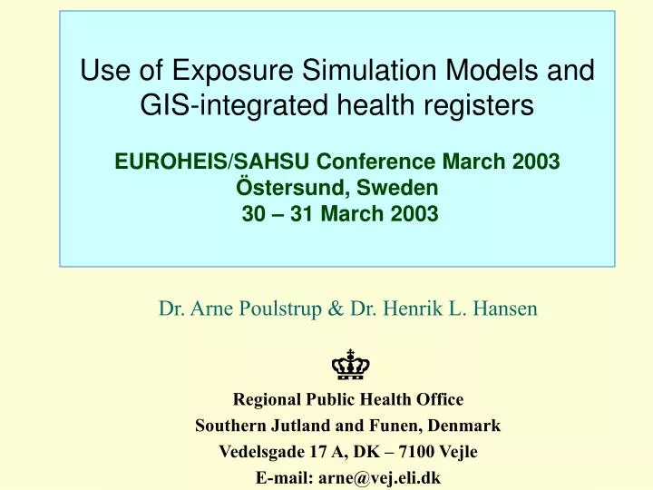
Use of Exposure Simulation Models and GIS-integrated health registers EUROHEIS/SAHSU Conference March 2003 Östersund, Sweden 30 – 31 March 2003. Dr. Arne Poulstrup & Dr. Henrik L. Hansen Regional Public Health Office Southern Jutland and Funen, Denmark Vedelsgade 17 A, DK – 7100 Vejle

E N D
Use of Exposure Simulation Models and GIS-integrated health registersEUROHEIS/SAHSU Conference March 2003Östersund, Sweden 30 – 31 March 2003 Dr. Arne Poulstrup & Dr. Henrik L. Hansen Regional Public Health Office Southern Jutland and Funen, Denmark Vedelsgade 17 A, DK – 7100 Vejle E-mail: arne@vej.eli.dk
Case Study: Cancer development in an urban population due to airborne dioxin, assessed by use of an exposure simulation model and a GIS-integrated health register Medical Office of Health, Province of Vejle, Denmark
Prevailing problems concerning environmental exposures and health outcomes: • Levels of exposure of individuals are often unknown • Areas of exposure are difficult to demarcate • Time of exposure is difficult to determine • Hence: • the number of individuals • in time and space • exposed for certain levels of environmental hazards are rarely possible to identify precisely Medical Office of Health, Province of Vejle, Denmark
A solution to environmental exposure level assessment: Simulation models for exposure can be used, like atmospheric dispersion models for airborne pollution: • A Danish Gaussian plume model (OML) simulates the dispersion of plumes, incorporating features like • Heights of one or more stacks (more sources) • Smoke emissions, velocity and temperature • High rise nearby buildings, surrounding terrains • Atmospheric conditions, like prevailing wind directions, wind temperatures, fall of rain, snow etc. Medical Office of Health, Province of Vejle, Denmark
Case Study: Simulated immissions of hourly conc. of dioxin, using OML, has been geo-coded and layered into GIS. Colours represent conc. of dioxin Medical Office of Health, Province of Vejle, Denmark
A solution to the demarcation of the exposed population: • The population at risk is identified by applying all addresses (inclusive historical) into GIS, using geo-coded addresses • And by linkage of all individuals to these addresses using the unique CPR number (10 digit number in Central Population Register [Civil Registration System]) Medical Office of Health, Province of Vejle, Denmark
All addresses since 1986 have been applied as a layer in GIS. Each address contains info on migration of every indivi-dual who lives or has lived there, as well as duration of stay Medical Office of Health, Province of Vejle, Denmark
The boundaries of the dioxin exposure (simulated immission of dioxin > 0 pg/h/m3) is then used to demarcate the exposed area. Polygon 1. Medical Office of Health, Province of Vejle, Denmark
Polygon 2: area with dioxin conc. ≥ 3 pg/h/m3 Medical Office of Health, Province of Vejle, Denmark
Polygon 3: area with dioxin conc. ≥ 4.5 pg/h/m3 Medical Office of Health, Province of Vejle, Denmark
Polygon 4: area with dioxin conc. between 0 -3 pg/h/m3 Medical Office of Health, Province of Vejle, Denmark
Polygon 5: Area with dioxin conc. between 3-4.5 pg/h/m3 Medical Office of Health, Province of Vejle, Denmark
Solution to exposure time assessment: • Number of records are reduced to number of individuals • Only individuals who have stayed more than two years are selected • Only individuals relevant for selected health outcome, e.g. cancer are selected Medical Office of Health, Province of Vejle, Denmark
The selected exposed individuals in time and space are then linked to the National Cancer Registry using the CPRs. The map shows the diagnosed cancers (in dark blue) among all exposed individuals (in yellow) in polygon 1 Medical Office of Health, Province of Vejle, Denmark
Same procedure is used to select and demarcate the control area: • Selection of a suitable area (non exposure) • Selection of sufficient number of controls • Selection of individuals who have stayed sufficient time in the area Medical Office of Health, Province of Vejle, Denmark
Final analyses of the case area will include the different bands of exposure (from 0 – 6 g-12 of dioxin/hour), • and in the analyses of health outcome (i.e. “all cancer”) in the selected open cohorts, the following confounders will be controlled for • gender ratio, • age stratas • and at least one socio-economic variable Medical Office of Health, Province of Vejle, Denmark
So far analyses have been made, comparing cancer rates from the exposed area from the period 1986 – 1998 with national cancer rates, and: • SIR (Standardized Incidence Ratio) and • IRR (Incidence Rate Ratio) showed no excess of cancer in the area of exposure Medical Office of Health, Province of Vejle, Denmark
Financially the study has been supported by grants from: • European Commission,DG forHealth and Consumer Protection • Ministry of Health, Denmark Medical Office of Health, Province of Vejle, Denmark