Coastal Atlas Workshop Introduction
70 likes | 197 Vues
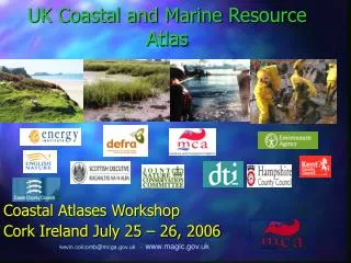
The Coastal Atlas Workshop, held at University College Cork on July 25, 2006, showcased a multi-disciplinary approach involving 21 projects and 22 researchers from fields such as Computer Science, Marine Geography, Engineering, and Environmental Management. The workshop emphasized knowledge and information management using GIS, remote sensing, and modeling technologies. Participants analyzed coastal atlases from Europe and the U.S. through SWOT assessments, focusing on technology, design, data issues, and institutional capacity. The event fostered collaboration through case studies and working group sessions, as well as synergies with various projects.

Coastal Atlas Workshop Introduction
E N D
Presentation Transcript
Valerie Cummins Coastal Atlas Workshop Introduction Coastal Atlas Workshop University College Cork 25th July 2006
Coastal & Marine Resources Centre Multi-disciplinary researchapproach July 2006 – 21 projects 22 researchers • Computer Science • Marine Geography • Engineering • Hydrography • Environmental Management • GIS and RemoteSensing • Marine Biology • Zoology KNOWLEDGE & INFORMATION MANAGEMENT – GIS, remote sensing, modelling, Internet technologies Coastal processes & seabed mapping Integrated Coastal Zone Management Marine mammals and seabird studies
Coastal & Marine Resources Centre Multi-disciplinary researchapproach July 2006 – 21 projects 22 researchers • Computer Science • Marine Geography • Engineering • Hydrography • Environmental Management • GIS and RemoteSensing • Marine Biology • Zoology KNOWLEDGE & INFORMATION MANAGEMENT – GIS, remote sensing, modelling, Internet technologies !! Coastal processes & seabed mapping Integrated Coastal Zone Management Marine mammals and seabird studies
From HEA - to national and international collaboration MIDA NI Irish Spatial Data Exchange Project Fulbright, Transatlantic workshop, BIDI collaboration Plus synergy with other projects – the MIDA engine & metadata knowledge– EU DISMAR, EU InterRisk, EU Monruk, EU Imagin, EU ECOOP, MI BIDI
Objectives of the workshop • Stock Take - Assessment of coastal atlases from Europe and U.S. • Identify and discuss strengths, weaknesses, opportunities and threats (SWOT): • Technology • Design and usability of web sites and tools • Data and metadata issues • Institutional capacity • Launch MIDA
Approach to workshop • Day 1 – Focus on case studies • Includes coastal atlas showcase • Introduction to working groups • MIDA launch • Day 2 – Focus on issues • Working group sessions