Download
1 / 9
90 likes | 196 Vues
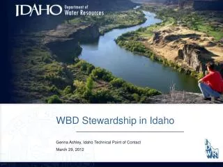
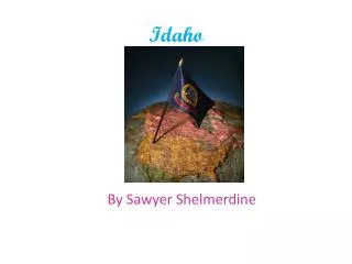
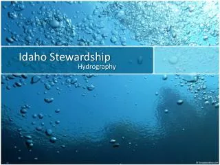
Idaho covers 83,557 square miles with a population of approximately 1.5 million, making it the 14th largest state but 44th in population density. The state sees annual rainfall ranging from less than 10 inches to over 60 inches, with land use being 65% federal or tribal and 30% private. Much of Idaho's agriculture, particularly in the south, relies on irrigation systems. Coordination for water resources is essential, especially for the Columbia River Basin. The Idaho Department of Water Resources leads efforts to enhance hydrography tools and streamline data collection for better management.

E N D
Idaho Stewardship Hydrography
Idaho • 83,557 square miles with about 1.5 million people. • 14th largest state in the US, but 44th in population density. • Annual rainfall from less than 10 inches per year to over 60 inches per year • 65% federal or tribal, 5 % state, 30% private • 7.8 million acres of land used for agriculture – 180,000 miles of streams and/or canals
Water Issues Most of the agriculture in the southern part of the state is irrigated though canals and diversions Western water law states ‘first in time – first in right’ Competing water uses Interstate coordination is needed for Columbia River Basin and Bear Basin
MOU with USGS – signed in August, 2007 • USGS POC is Hank Nelson, Liaison is Scott Van Hoff • IDWR is chair of the Hydrography and Watershed State Technical Working Groups • Web site at www.idwr.idaho.gov/hydrography • Linda Davis – Principal Steward for Idaho • Wilma Robertson - Technical POC Idaho
How NHD Can beApplied Water accounting – modeling with diversions Linear referencing for fish, habitat, water quality, minimum stream flow, wild and scenic Dam Safety – modeling water quantity upstream and hazards downstream Hazard Modeling - flooding
Issues • What is challenging – • Communication for GNIS after names have been submitted using online web application. • Notification to Steward by GNIS when name has been accepted or denied would be helpful. • Stream name protocol for Federal Agencies needs clarification (Forest Service, BLM) • NHD tools require time and effort • Continue to work on improving tools, USGS weekly phone calls and USGS support. • Working on tools for local stewards to submit updates
Issues • What is working – • Support from IDWR management, Idaho hydrography community and USGS • Collecting data from local agencies and submitting that information to the National Database • Soliciting changes from local agencies where we know changes are needed • Quarterly meetings though a hydrography working group
Idaho State Contacts • Linda Davis – • Linda.Davis@idwr.idaho.gov • Wilma Robertson – Technical POC NHD • Wilma.Robertson@idwr.idaho.gov • Genna Ashley-Poulson – Technical POC WBD • Genna.Ashley@idwr.idaho.gov