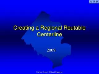
Developing a Regional Routable Centerline for Fairfax County GIS Mapping Standards
50 likes | 186 Vues
This project outlines the creation of a regional routable centerline for Fairfax County, focusing on GIS and mapping standards. Key elements include implementing persistent unique IDs for tracking relationships between parent and child IDs. The project aims to integrate attributes such as speed limits, road classifications, one-way designations, and ramp naming. Additional considerations include modeling intersections and addressing border streets and elevated crossings. Establishing a comprehensive methodology ensures accurate and consistent mapping throughout the region.

Developing a Regional Routable Centerline for Fairfax County GIS Mapping Standards
E N D
Presentation Transcript
Creating a Regional Routable Centerline 2009 Fairfax County GIS and Mapping
Key Items • Persistent Unique Id’s and parent child ID tracking • Include speed limit attribute • Establish a common road classification scheme • Include a one-way attribute • Ramp naming • Crossovers • Modeling Intersections Fairfax County GIS and Mapping
Standards for dealing with border streets Fairfax County GIS and Mapping
Establish methodology for elevated crossings Fairfax County GIS and Mapping